This book is available on Amazon. You may read the entire book on this website for free.
Book dimensions: 7x10 inches. It is printed on premium white paper and has 475 color maps and photos.
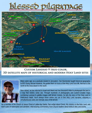
 “Many years ago, as a graduate student in Jerusalem, Dan Noorlander taught historical geography to BYU Study Abroad students. He guided them on tours of the Holy Land from Mt. Hermon in the north to the Sinai desert in the south.
“Now retired, he has returned to Israel and hiked over two thousand miles to photograph the land in a way that visitors rarely see. Through hundreds of photographs and custom-created maps combining Landsat-9 satellite images with terrain models, he tells the story of the Holy Land in meticulous detail. You’ll always know where you are in this Holy Land narrative, enjoying a simultaneously wide and intimate view of the terrain.
“As a member of the Church of Jesus Christ of Latter-day Saints, Dan writes about Christ, His ministry in the Holy Land, and God’s plan of redemption and salvation, interweaving commentary from Church leaders about biblical sites and events.
“With this work and its accompanying website, BibleLandImages.com, Dan opens the door wide to everyone interested in the Holy Land, regardless of religious affiliation.”
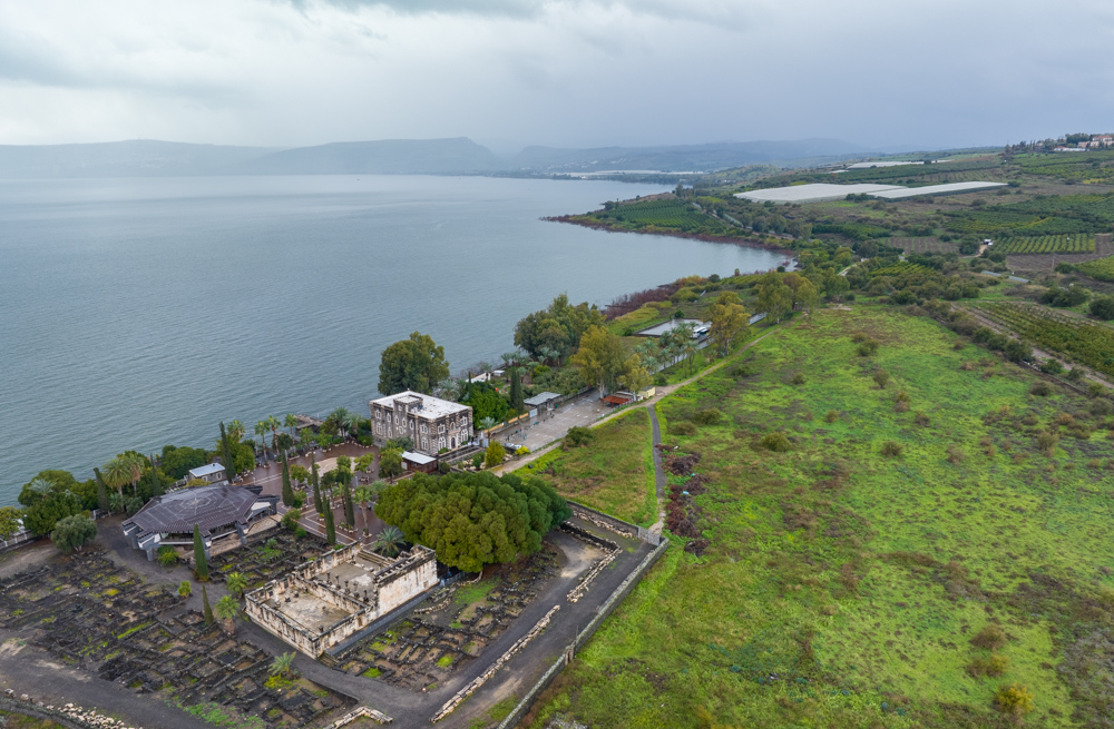
The aerial photo (below) shows the White Synagogue of Western Capernaum (lower left) and the northern shore of the Sea of Galilee. Click to enlarge the photo. Additional Holy Land photos appear under Photo Menus (above). All selections are from my collection of over 45,000 unique photos.
After opening a chapter or section (below), click the “Download Photos” link above each file to access enlarged copies of the photos. You may download any photo free of charge.
The entire book is available here.
Table of Contents
Appendix A: Michael A. Hansen—In Memoriam

The White Synagogue of Western Capernaum (lower left) and the northern shore of the Sea of Galilee. The photo was taken on February 7, 2023, on a wet, wintry day.
You may download photos free of charge for non-commercial, educational purposes: home, church, synagogue, or school. You must, however, give proper attribution on or below each image to BibleLandImages.com.
If you’re using photos as part of a PowerPoint or other electronic presentation, it’s enough to mention the source of the photos at the beginning of your lecture.
The photos may not be used on other internet sites without permission.
You may download favorite chapters and sections or copy their URL links to share via email or in a messenger app. You may also post links on social media or a personal website.
By downloading a photo, chapter, or section you agree to this policy. If you have questions about it or need a commercial photo license, please contact me via email: Daniel@BibleLandImages.com.