Photos and Maps • Photo Usage Policy • Back to Overview
Open chapter PDF to read or share (new tab)
Open chapter PDF (new tab, book format)
View north: The southern end of the Sea of Galilee where it exits to form the Jordan River. This spot is close to Yardenit (see “Yardenit Baptismal Site” on page 293).
You may download photos free of charge for non-commercial, educational purposes: home, church, synagogue, or school. You must, however, give proper attribution on or below each image to BibleLandImages.com.
If you’re using photos as part of a PowerPoint or other electronic presentation, it’s enough to mention the source of the photos at the beginning of your lecture.
The photos may not be used on other internet sites without permission.
You may download favorite chapters and sections or copy their URL links to share via email or in a messenger app. You may also post links on social media or a personal website.
By downloading a photo, chapter, or section you agree to this policy. If you have questions about it or need a commercial photo license, please contact me via email: Daniel@BibleLandImages.com.

View north: The eastern shore of the Sea of Galilee 2 miles (3.2 kilometers) north of Ein Gev and 1 mile (1.6 kilometers) south of Gergesa (Kursi). Gergesa is above the covered Banana orchards (center).

View south: The eastern shore of the Sea of Galilee, looking up at the Golan Heights (top left). Before 1967, the heights were held by the Syrians, who shelled the settlements below.

View north: The southern end of the Sea of Galilee where it exits to form the Jordan River. This spot is close to Yardenit (see “Yardenit Baptismal Site” on page 293).

View southwest: Tel Chinnereth (center), overlooking the Plain of Gennesaret with Mt. Arbel, Wadi Hamam (Valley of the Doves), the Horns of Hattin, Mt. Nitai, and the hills of lower Galilee (top right).
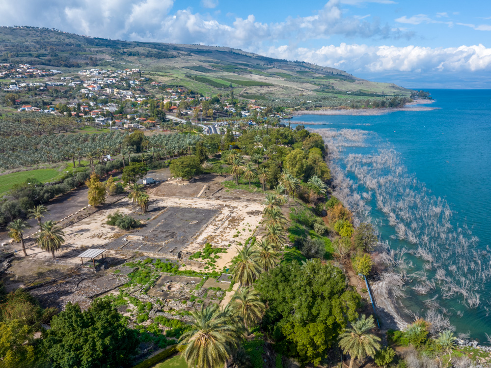
View north: the western shore of the Sea of Galilee near the southern end. The archaeological site (center left) is BEt Yerah, or Philoteria in New Testament times.
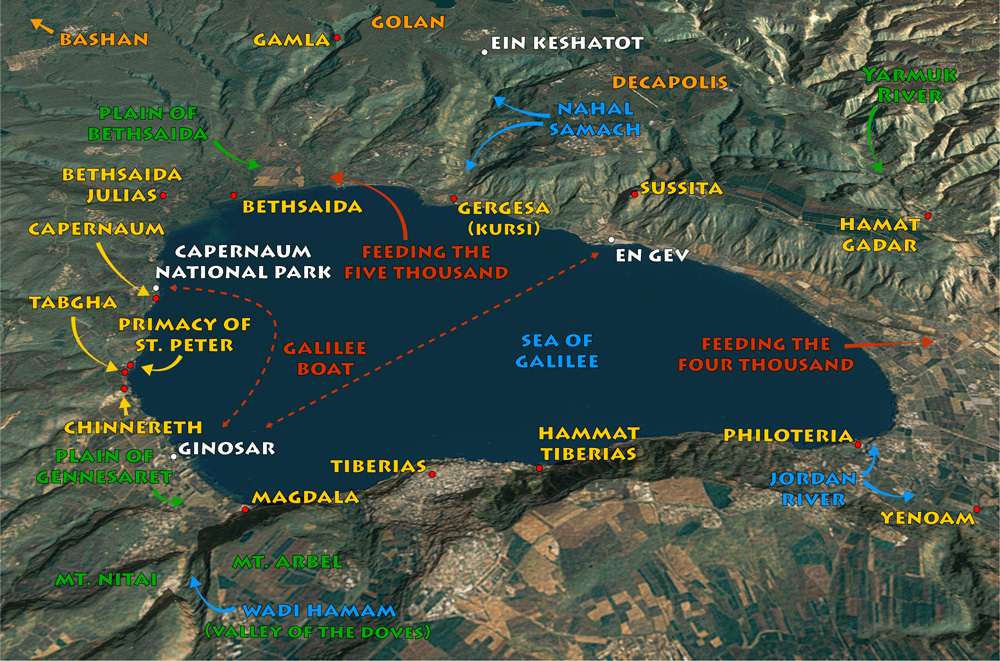
View East: Sea of Galilee map with most of the sites mentioned in this section, including some modern sites in white.

View southeast: the Northern shore of the Sea of Galilee, looking down at Capernaum National Park. the Galilee Boat docks here after crossing the lake from Kibbutz Ginosar.
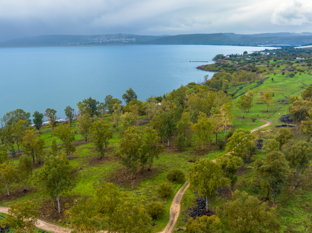
View west: The northern shore of the Sea of Galilee, looking toward Capernaum National Park (upper right; you can see the dock), Tiberias across the lake (top left), and Mt. Arbel (top right).
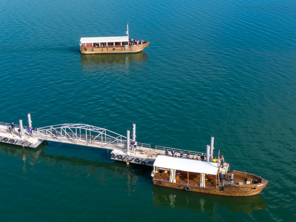
View north: The Galilee Boat (sometimes called the “Jesus Boat”) docks at Kibbutz Ginosar. Tourists who want to cross the lake in a boat join a tour here, at En Gev, or at Capernaum National Park.

View east: The Decapolis city of Sussita (center) overlooking Kibbutz En Gev (bottom center). You reach the top by hiking the trail (center) or by car up Sussita’s south side (right; see “Sussita (Hippos)” on page 285.

View northeast: The northern shore of the Sea of Galilee, looking across the Plain of Bethsaida (upper center) toward Gamla at the end of the canyon (top right).

View northwest: The northwestern shore of the Sea of Galilee with the Church of the Primacy of St. Peter (center right; building with orange roof). You can see people on the shore.

View southeast: The banner on the Primacy Church reads: “800 years since the pilgrimage of peace of St. Francis to the Holy Land 1219–2019.” It’s fun to realize that President Ballard visited in 2019.

View north: The Primacy church gardens and small amphitheater where visitors can relax, read the scriptures, and contemplate the events that took place in this area.

View north: The western shore of the Sea of Galilee between Tiberias and the south side of Mt. Arbel (center left). Behind and below Arbel is the Valley of the Doves and ancient Magdala.
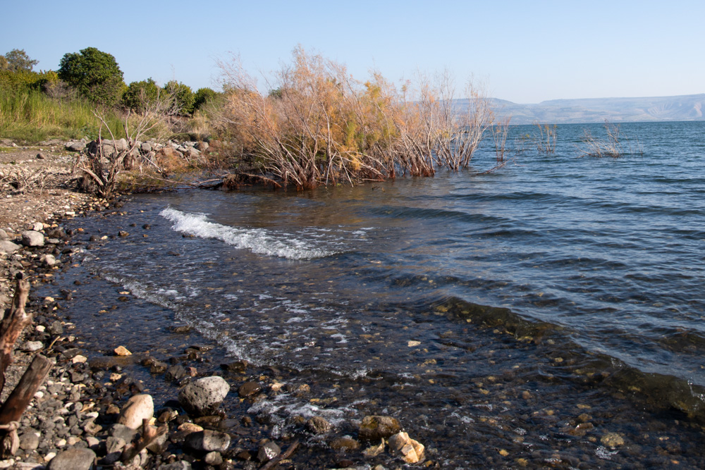
View northeast: This photo was taken west of Capernaum looking across the Sea of Galilee toward the eastern shoreline.

View east: The southeastern shore of the Sea of Galilee from the western shore north of Yardenit.

View northeast: this is one of the natural coves near Capernaum where Jesus may have launched one of Peter’s boats and talked to a multitude of people.