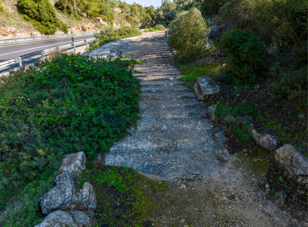
Jsus performed His first public miracle of turning water into wine (John 2:1–11) in Cana of Galilee (Khirbet Qana). The ancient town was built on top of the sunlit hill in the photo below (upper center). Cana was at the end of the trail that runs between it and the ancient city of Jotapata, a distance of only 2 miles.

You see the continuation of the trail in the next photo (below) that leads to Jotapata on the hill at the end of the valley (top right). Jotapata was a Jewish stronghold during the First Jewish Revolt against Rome. The Jewish general Josephus and his troops were charged with its defense before the Roman General Vespasian finally conquered it in 67 AD.

This trail and others like it are the ones Jesus walked during His mortal ministry, when He “went about all Galilee, teaching in their synagogues, and preaching the gospel of the kingdom, and healing all manner of sickness and all manner of disease among the people” (Matt. 4:23).
Galilee is the subject of volume 1, Blessed Pilgrimage: The Way of Christ the Lord. You may read the chapters on Jotapata and Cana of Galilee absolutely free.
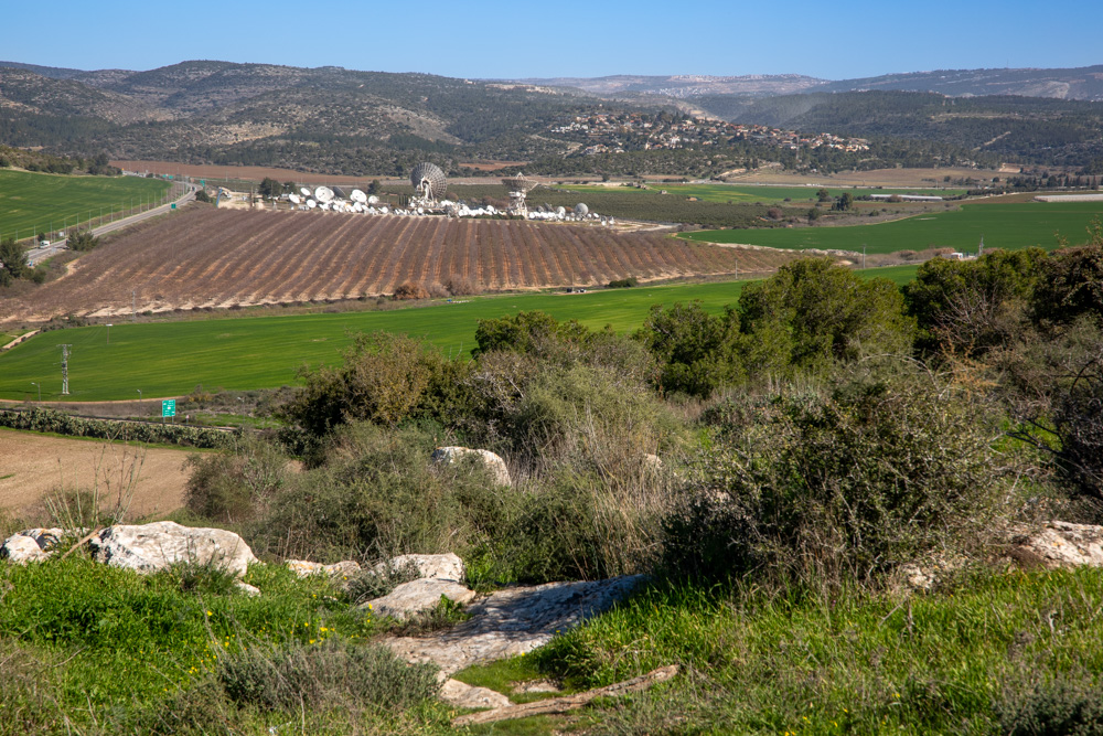
Most people have heard of the great battle between good and evil taking place when Christ returns to rule on earth for a thousand years (see Zech. 11–14; Rev. 16:14–21; 19:11–18). Its name, Armageddon, comes from the Hebrew “Har Megiddo” or mountain of Megiddo. The ancient city of Megiddo controlled the route between the coastal plain and the Jezreel Valley. It also controlled the route from Acco on the Mediterranean coast north of Mt. Carmel to Beth Shean in the Lower Jordan Valley south of the Sea of Galilee. The ancient city (below) overlooks the Jezreel Valley. In volume 2, Blessed Pilgrimage: Embracing the Covenant, you can read about this historical battlefield of nations.

Jesus came to Jerusalem as a young boy and visited the city often during His public ministry. Here He cleared the temple grounds twice, taught Nicodemus about baptism, was falsely accused by the city’s Jewish rulers, unjustly condemned by Pilate, and finally crucified outside its northern wall not far from the Old City’s Damascus gate (below).
Jerusalem is the city of cities. Isaiah prophesied it will be one of two great centers from which Christ will rule for a thousand years (see Isa. 2:2–3). The Holy City is the subject of volume 3, Blessed Pilgrimage: Following Christ to Gethsemane.
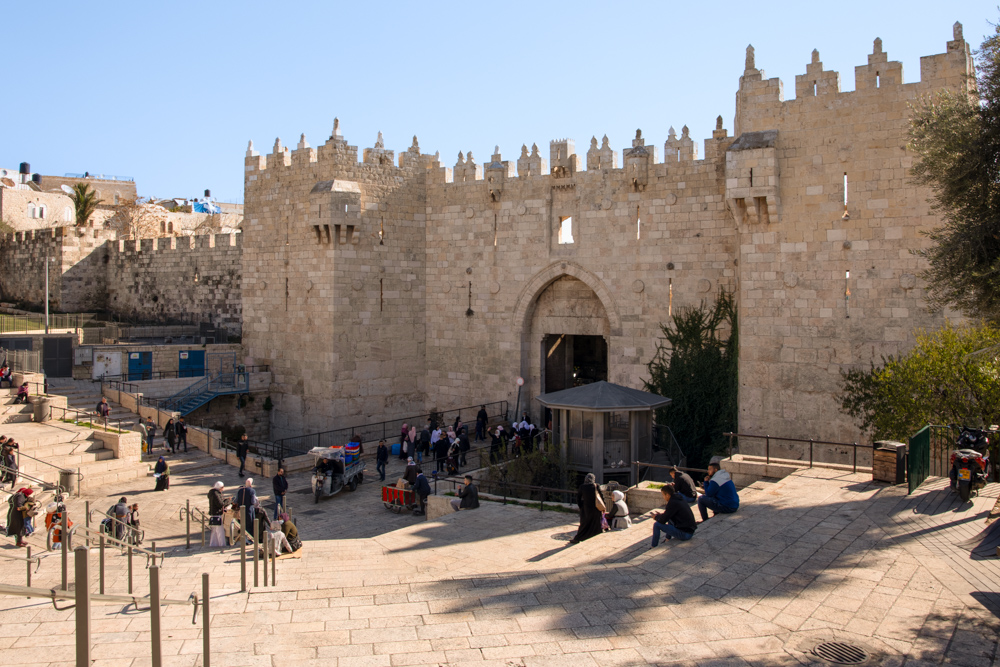
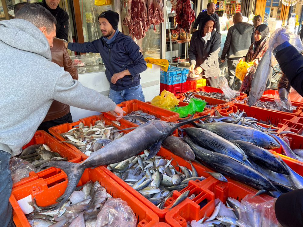
Just outside Damascus gate today is a market (below), where you can purchase everything from fruits and vegetables and a variety of breads to beef and all kinds of fresh fish.
The next photo (below) was taken from biblical Shochoh, where the “Philistines gathered together their armies to battle” against “Saul and the men of Israel” (see 1 Sam. 17). The valley (center right) is where David slew Goliath with a stone he picked up in the stream that flowed through the valley. The ramifications of the battle for the kingdom of Judah are discussed in volume 4, Blessed Pilgrimage: Navigating the Wilderness.
The photo (below) is tied to the one above. It contains a portion of the two-thousand-year-old Roman road that led from the Valley of Elah to Bethlehem (David’s home). Notice the modern road that follows the same mountain ridge as the ancient one into the hill country of Judah. The significance of mountain ridges and ancient byways is a topic discussed in volume 4, Blessed Pilgrimage: Navigating the Wilderness.
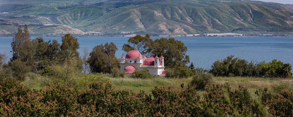
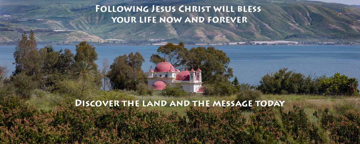
Church of the Twelve Apostles, Capernaum
Built in 1931 on the traditional site of ancient Capernaum, this Greek Orthodox church stands near the village where Jesus spent much of His Galilean ministry. Its distinctive red domes, peaceful gardens, and beautiful icons make it one of the most photographed landmarks on the Sea of Galilee and a favorite stop for Christian pilgrims.