Photos and Maps • Photo Usage Policy • Back to Overview
Open chapter PDF to read or share (new tab)
Open chapter PDF (new tab, book format)
View northwest: This photo was taken above Mt. Turan overlooking the Beit Netofa Valley, one of the routes through Lower Galilee that tested Israel’s faith.
You may download photos free of charge for non-commercial, educational purposes: home, church, synagogue, or school. You must, however, give proper attribution on or below each image to BibleLandImages.com.
If you’re using photos as part of a PowerPoint or other electronic presentation, it’s enough to mention the source of the photos at the beginning of your lecture.
The photos may not be used on other internet sites without permission.
You may download favorite chapters and sections or copy their URL links to share via email or in a messenger app. You may also post links on social media or a personal website.
By downloading a photo, chapter, or section you agree to this policy. If you have questions about it or need a commercial photo license, please contact me via email: Daniel@BibleLandImages.com.
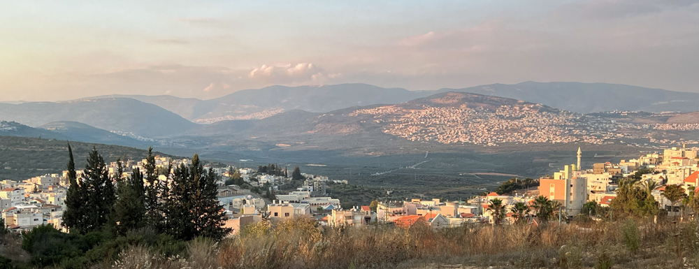
View north: This photo looks across Lower Galilee to Upper Galilee from the Arab Christian town of Eilabun at the eastern end of the Beit Netofa Valley.
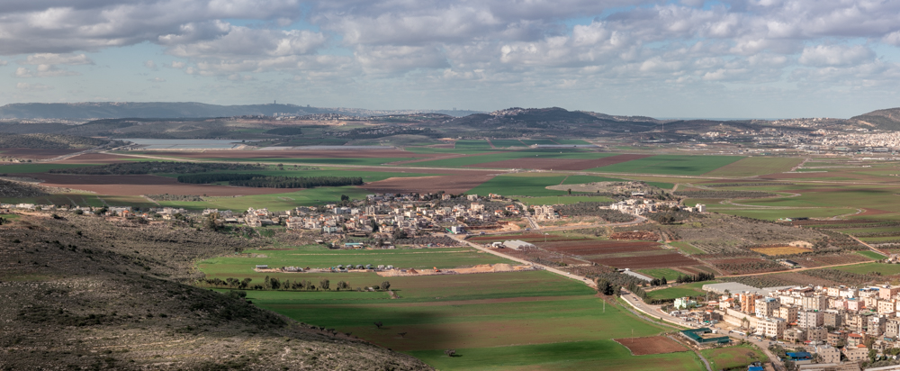
View west: Rumet Heib at the western end of the Beit Netofa Valley (center left). Also visible is the biblical site of Hannathon (center; see Josh. 19:14) on the mound above the buildings.
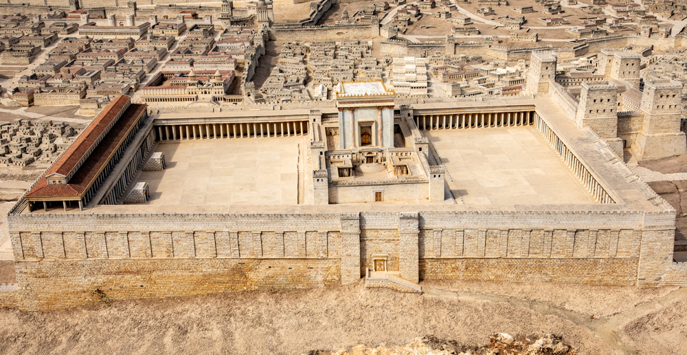
View west: The Temple Mount from the Model of Jerusalem on the grounds of the Israel Museum.
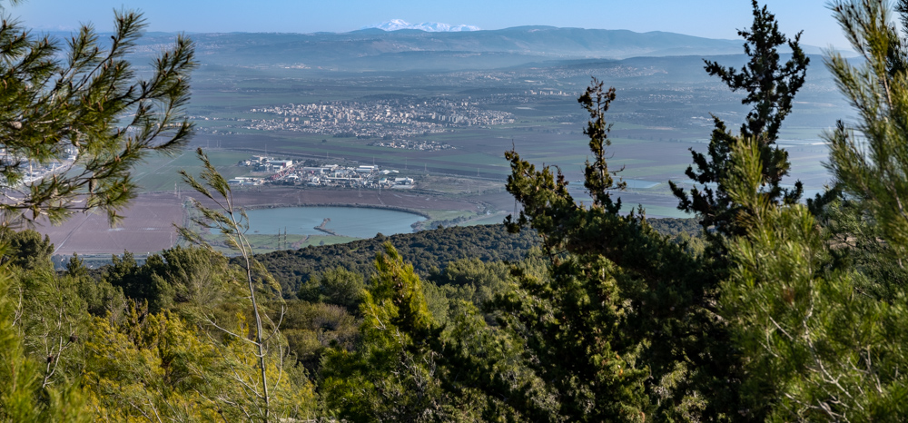
View Northeast: This photo was taken from Mt. Carmel facing Lower Galilee. Snow-capped Mt. Hermon is just visible (top center).
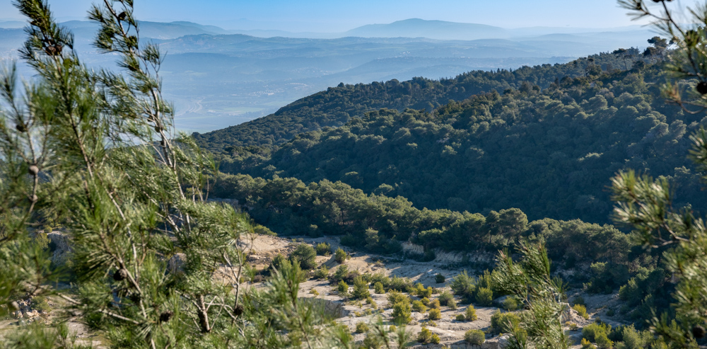
View east: The photo was taken from Mt. Carmel facing Lower Galilee and the Nazareth mountain range. Mt. Moreh is also visible (top right).
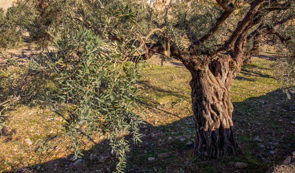
A very old olive tree two months after the October harvest. The photo was taken on the edge of Shepherd’s Field northeast of Bethlehem.
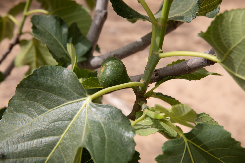
A ripening spring fig on a tree near ancient Beersheba.
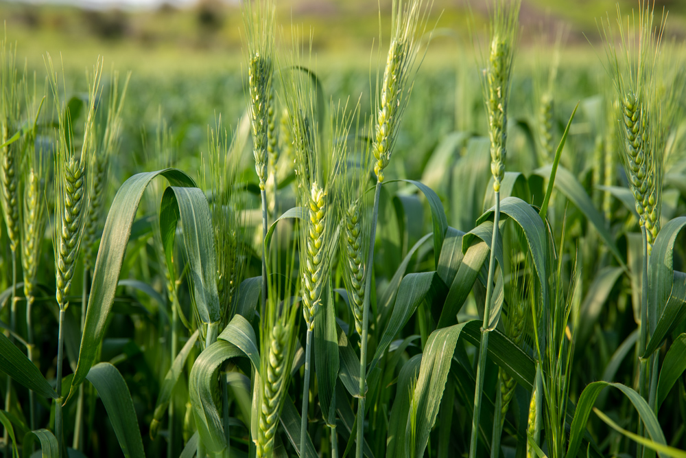
Barley two months before the spring harvest. This photo was taken near the Yarmuk River Valley southeast of the Sea of Galilee.
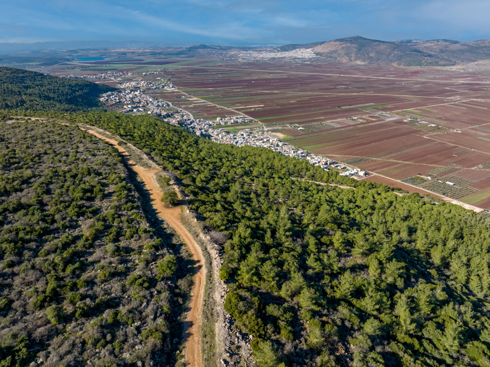
View northwest: This photo was taken above Mt. Turan overlooking the Beit Netofa Valley, one of the routes through Lower Galilee that tested Israel’s faith.
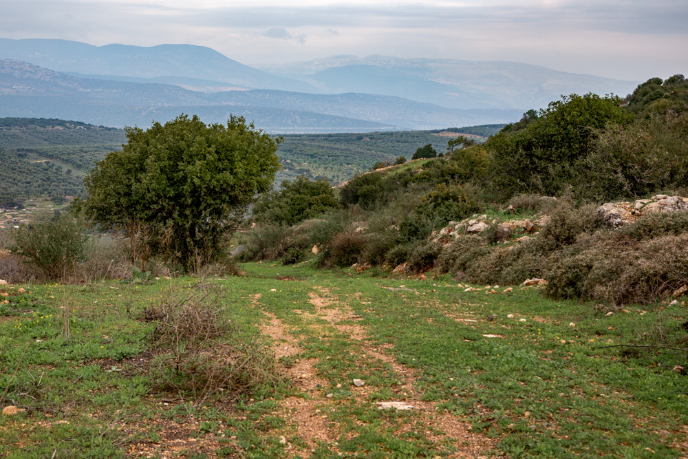
View northeast: Lower Galilee looking toward Upper Galilee. The terrain of this region pushed the routes through the Valleys of Lower Galilee.
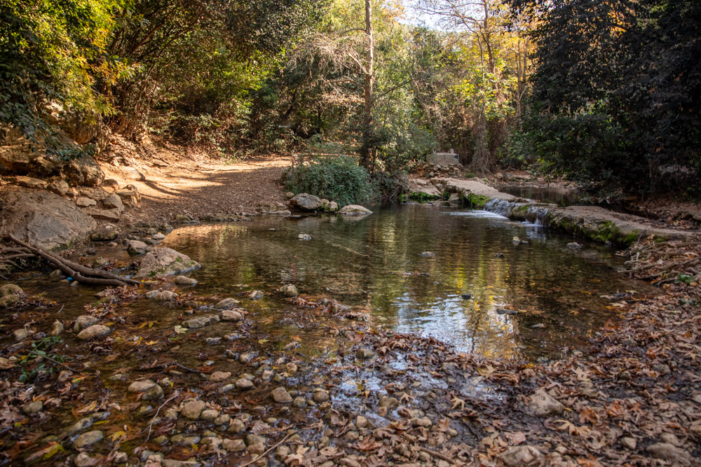
View east: The trail in this photo follows Nahal Keziv in Upper Galilee. The photo was taken below the Crusader castle of Montfort about 11 miles (18 kilometers) east of Nahariya on Israel’s northern coast.