Photos and Maps • Photo Usage Policy • Back to Overview
Open chapter PDF to read or share (new tab)
Open chapter PDF (new tab, book format)

View east: The Kursi Monastery (bottom center) lies in the broad valley at the end of Nahal Samach. Kursi (biblical Gergesa) was the location of the swine miracle (Matt. 8:23–34; see “Gergesa (Kursi)” on page 265).
You may download photos free of charge for non-commercial, educational purposes: home, church, synagogue, or school. You must, however, give proper attribution on or below each image to BibleLandImages.com.
If you’re using photos as part of a PowerPoint or other electronic presentation, it’s enough to mention the source of the photos at the beginning of your lecture.
The photos may not be used on other internet sites without permission.
You may download favorite chapters and sections or copy their URL links to share via email or in a messenger app. You may also post links on social media or a personal website.
By downloading a photo, chapter, or section you agree to this policy. If you have questions about it or need a commercial photo license, please contact me via email: Daniel@BibleLandImages.com.

View east: Nahal Samach looking toward the Golan Heights and Ein Keshatot on the edge of the plateau (not pictured; See “Ein Keshatot Synagogue” on page 33).

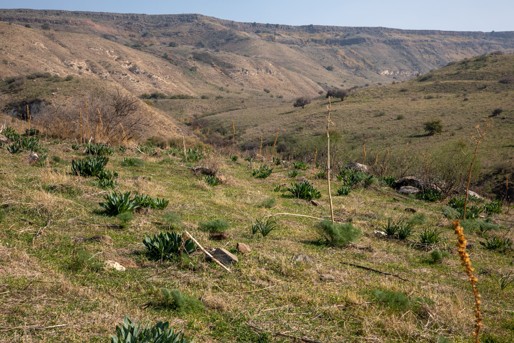
I hiked along the streambed as I climbed toward Ein Keshatot.

Unfortunately, I lost an expensive pair of glasses crossing the stream through the thick brush.
View east: The Kursi Monastery (bottom center) lies in the broad valley at the end of Nahal Samach. Kursi (biblical Gergesa) was the location of the swine miracle (Matt. 8:23–34; see “Gergesa (Kursi)” on page 265).

I encountered this beautiful Sabra cactus with ripening fruit at the start of the day.

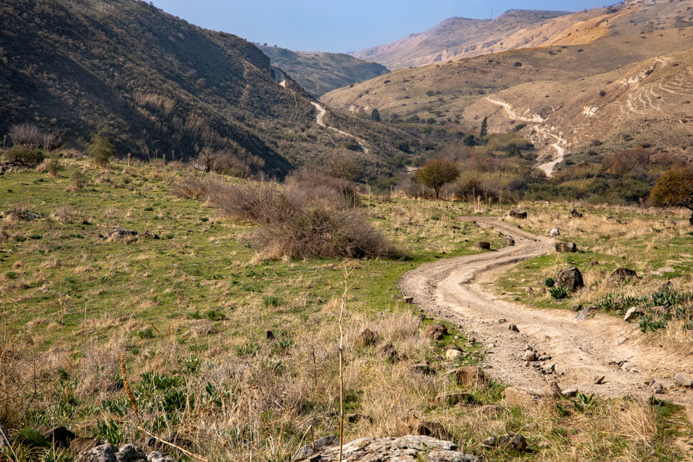
View east: I took this photo at about the halfway point between Kursi and Ein Keshatot. I had just picked up the trail, which follows the stream (right-side thicket), crossing it several times back and forth.

View southeast: This photo shows where Nahal Samach and Nahal El Al converge below Ein Keshatot. The ridge above Nahal Samach continues to Ein Keshatot.
View west: This photo shows the climb coming out of Nahal Samach. The road continues to Ein Keshatot on the edge of the Golan Heights, 1.5 miles (2.4 kilometers) farther.
View east: This photo was taken just below the Golan Heights on the ridge between Nahal Samach and Nahal El Al.
 I post updates to this website on my personal