Photos and Maps • Photo Usage Policy • Back to Overview
Open chapter PDF to read or share (new tab)
Open chapter PDF (new tab, book format)
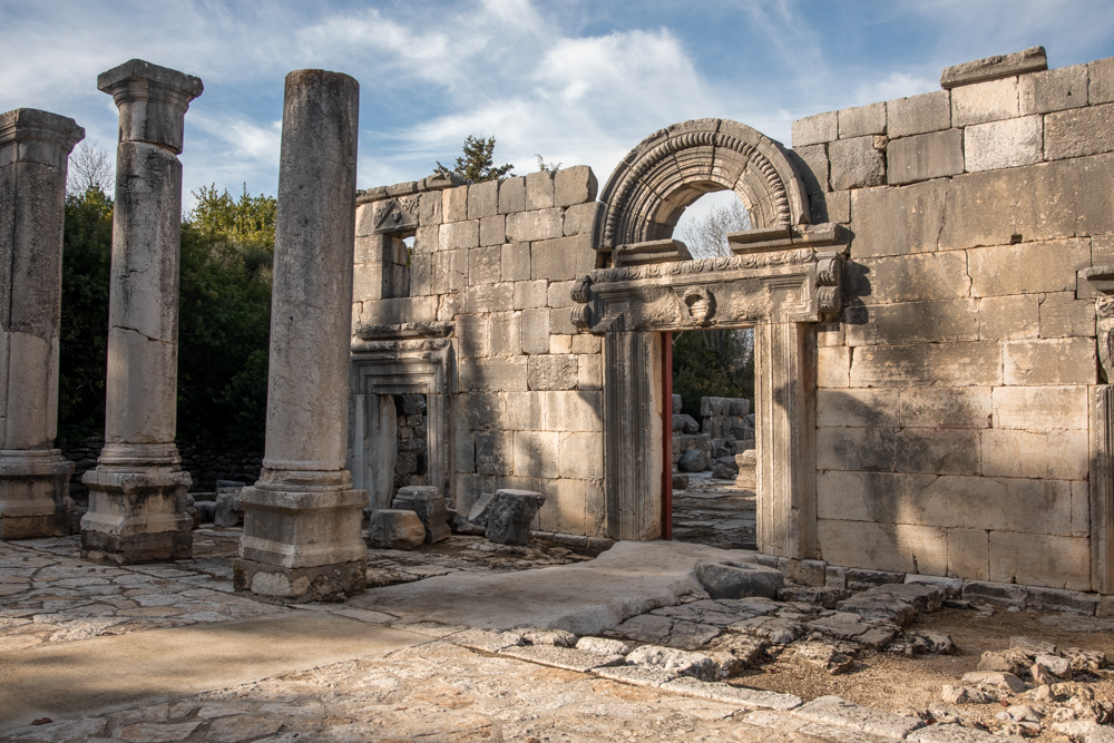
View northwest: The main entrance to the synagogue, which dates to the late fourth or early fifth century AD. Six pillars supported the portico that once stood in front of the synagogue entrances.
You may download photos free of charge for non-commercial, educational purposes: home, church, synagogue, or school. You must, however, give proper attribution on or below each image to BibleLandImages.com.
If you’re using photos as part of a PowerPoint or other electronic presentation, it’s enough to mention the source of the photos at the beginning of your lecture.
The photos may not be used on other internet sites without permission.
You may download favorite chapters and sections or copy their URL links to share via email or in a messenger app. You may also post links on social media or a personal website.
By downloading a photo, chapter, or section you agree to this policy. If you have questions about it or need a commercial photo license, please contact me via email: Daniel@BibleLandImages.com.
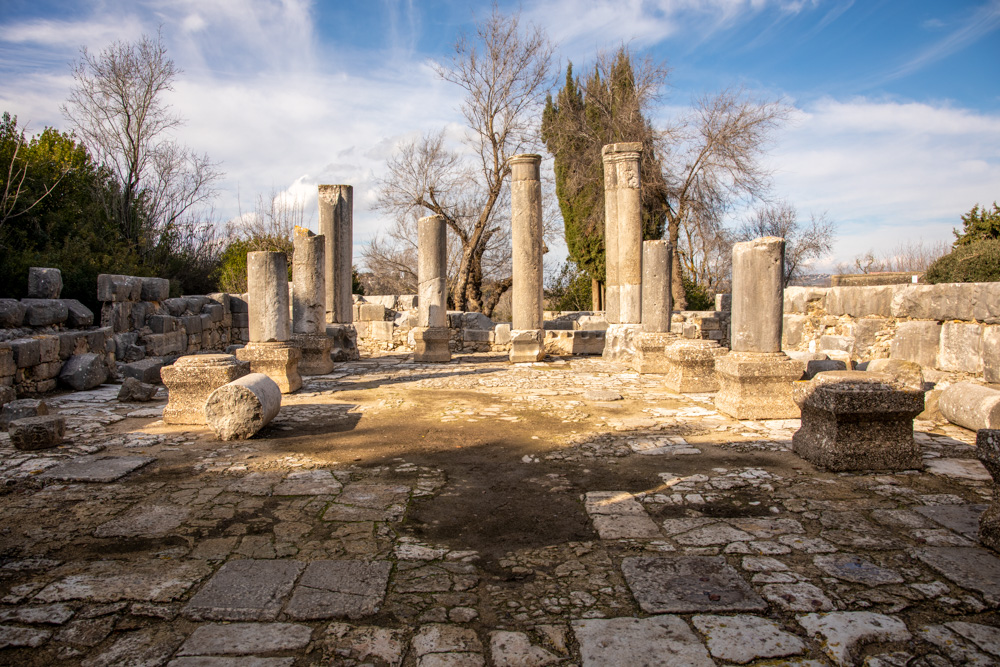
View north: Inside the Baram synagogue, The pillars supported the ceiling and second story. Benches would have lined the inner walls.
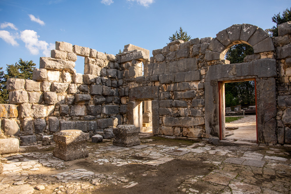
View southeast: The inside of the synagogue, facing the central and eastern entrances. An inscription above the eastern entrance identified the man who built the synagogue.
View northwest: The main entrance to the synagogue, which dates to the late fourth or early fifth century AD. Six pillars supported the portico that once stood in front of the synagogue entrances.
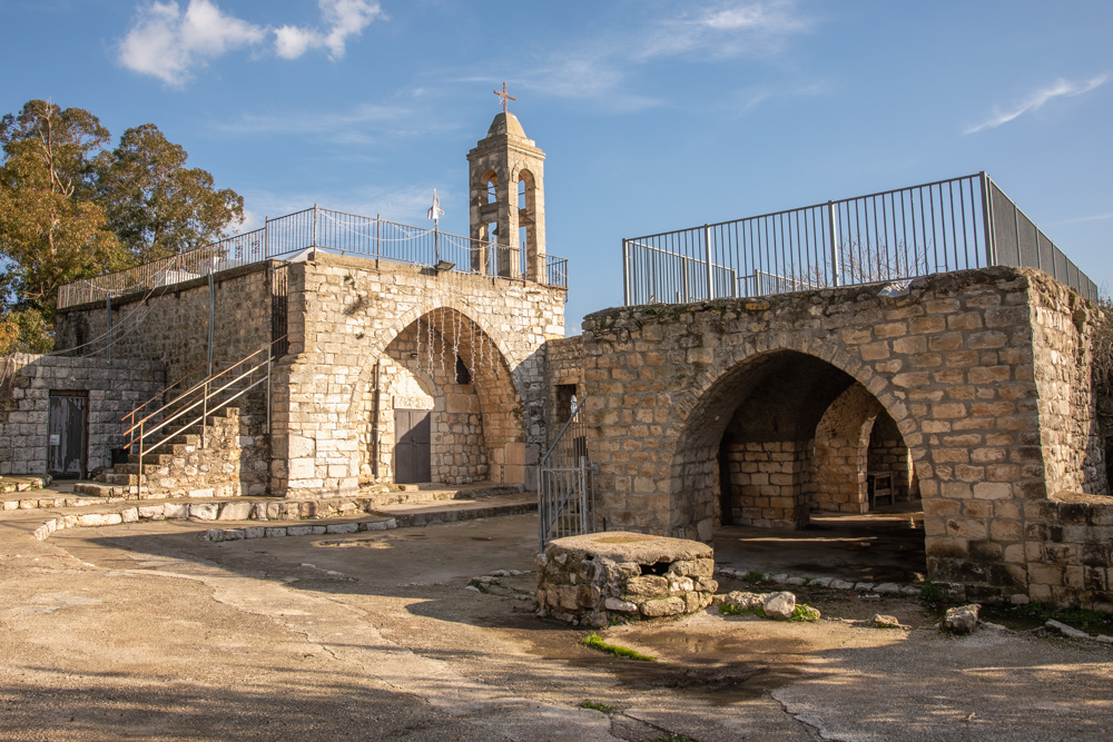
View southeast: The Maronite Christian Church and Bell Tower near the synagogue. The Maronites were expelled in 1948 during the war. They still use the Church on Sundays, holidays, and special occasions.
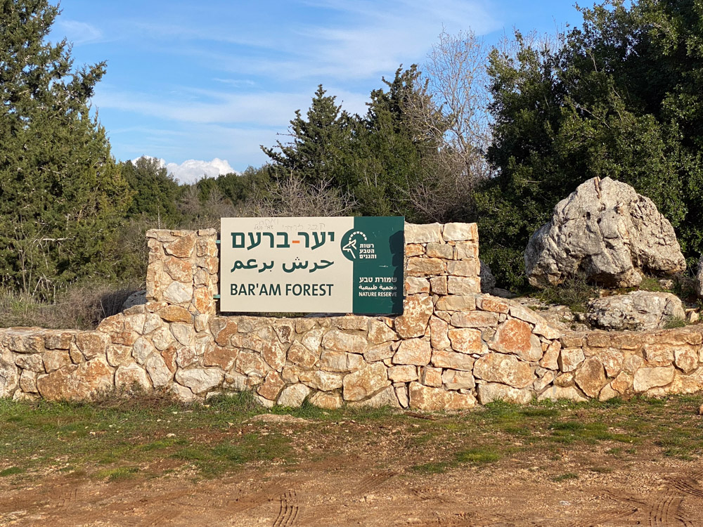
View northeast: The Baram forest is a natural woodland that contains the beautiful Israeli common oak tree, which grows larger here than anywhere else in the country.
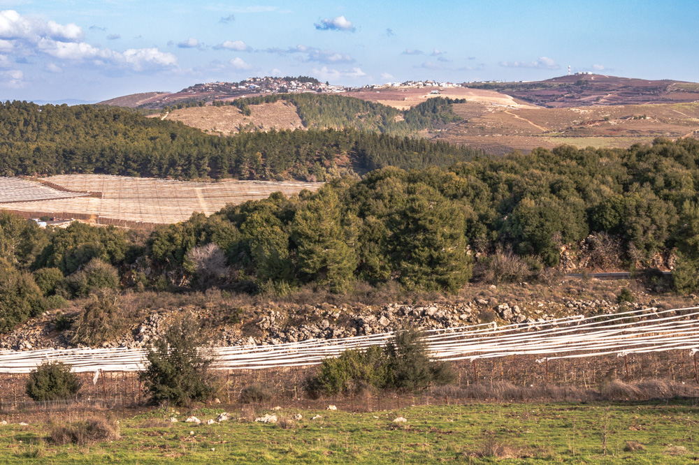
View east: This photo was taken from Baram National Park’s eastern edge, looking at Upper Galilee’s mountains. The city of Safed is visible from the hilltop (upper right).
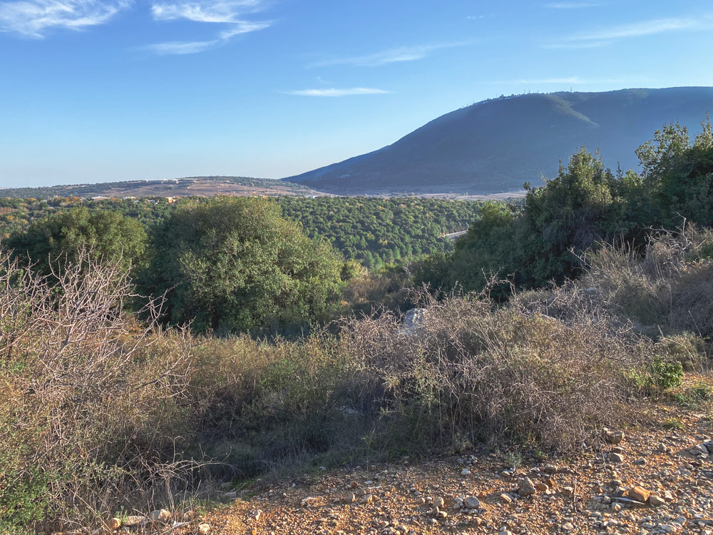
View south: The Baram Forest is southeast of the synagogue. Here, it looks toward Mt. Meron (upper right) and Nahal Dishon (“Antelope Stream”; center), which drains into the Jordan River.