Click maps to enlarge. Click the enlarged map to toggle the overlay on and off.
Below each thumbnail is the map’s page number, followed by the main chapter or section in
Blessed Pilgrimage: The Way of Christ the Lord.
(In the book, maps are used by more than one chapter or section.)
Page xvi. Foreword
Page 58. Upper Galilee
Page 126. Nazareth
Page xxiii. Preface
Page 89. Lower Galilee
Page 146. Bet Shearim Necropolis
Page 18. The Land Between
Page 108. Cana of Galilee
Page 151. Sea of Galilee
Page 30. Ancient Synagogues
Page 111. Cana of Galilee
Page 176. Mt. Arbel
Page 46. Upper Galilee
Page 119. Sepphoris (Zippori)
Page 204. Plains of Bethsaida and Gennesaret
Page 46. Upper Galilee
Page 126. Nazareth
Page 274. Gamla
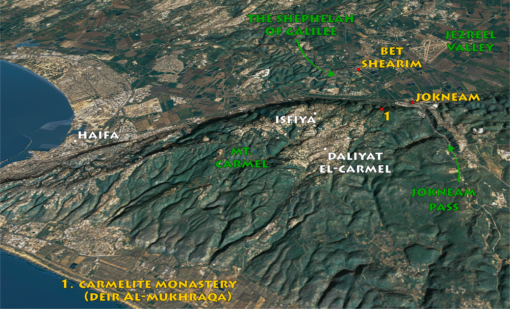
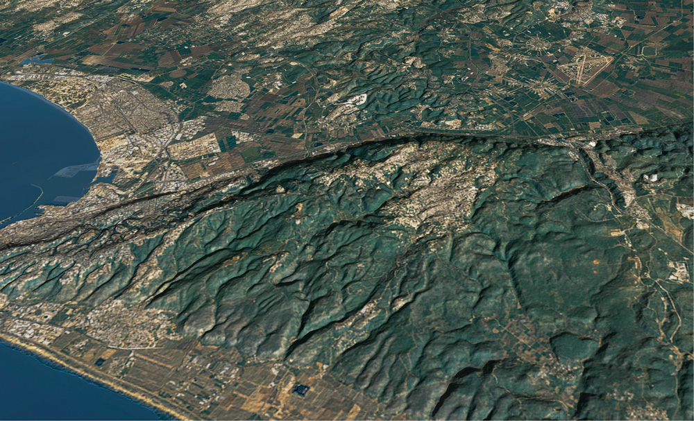
View north: Mukhraqa in Arabic means “The Burning.” By tradition, this is the place where Elijah met and defeated the priests of Baal on Mt. Carmel (see “Mt. Carmel” in Blessed Pilgrimage, vol. 4).
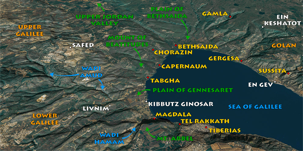
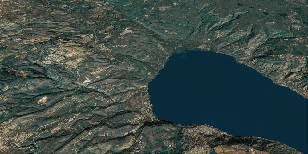
View northeast: Michael and Ann raised their family in Livnim, where they lived for twenty years. From there they took their weekend hikes and excursions all over Galilee and the rest of the Holy land.
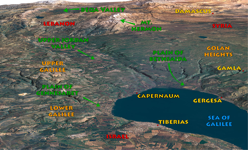
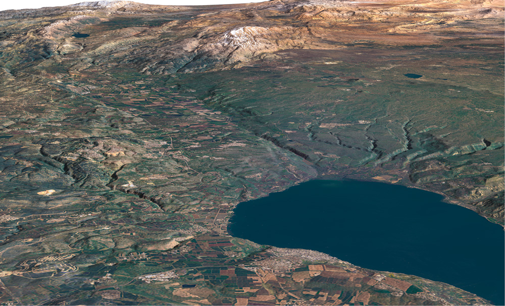
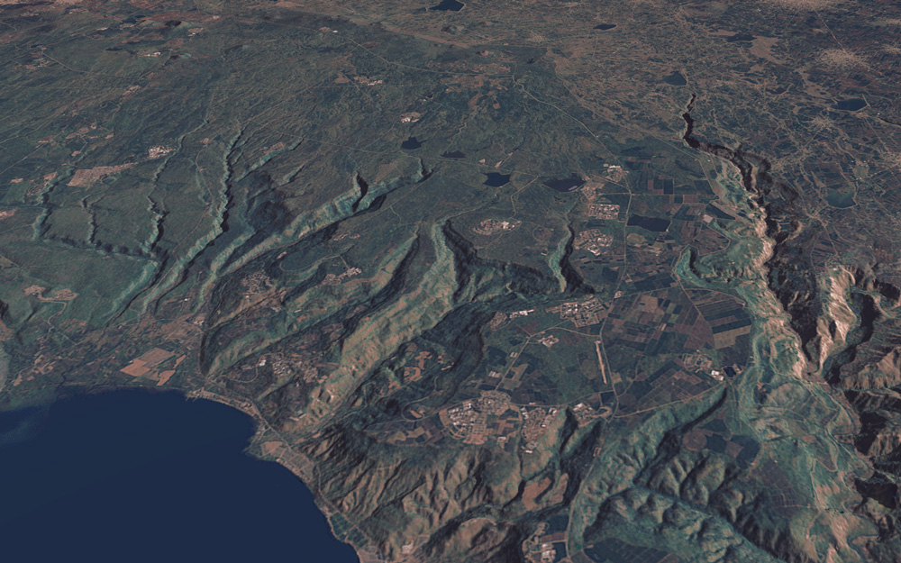
View northeast: Landsat 9 satellite image after enhancement. The 3-D effect is created by combining the satellite image with its terrain model using special software.
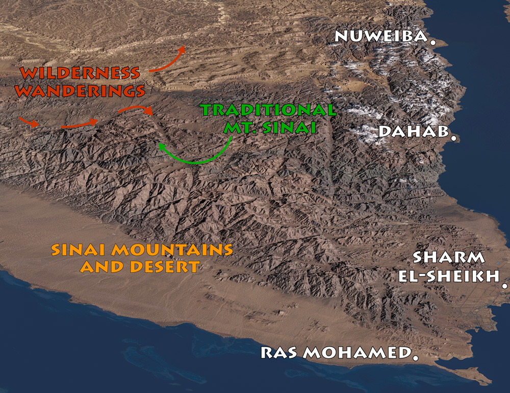
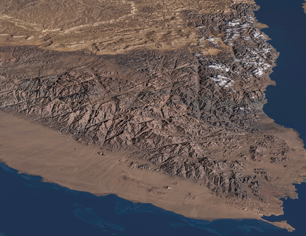
View north: Landsat 9 satellite scene of the Sinai Peninsula. the children of Israel wandered forty years in Sinai, subsisting on water, mannah, and quail.
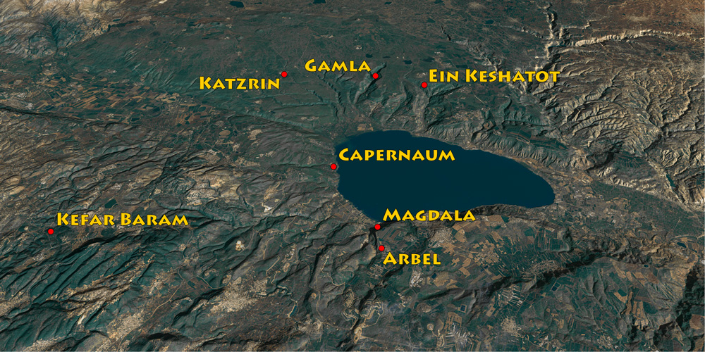
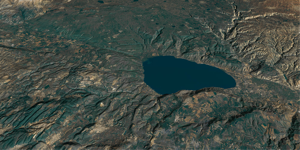
View northeast: map showing the locations of the synagogues reviewed in this chapter. See also “Magdala” on page 211 and “Capernaum” on page 235.
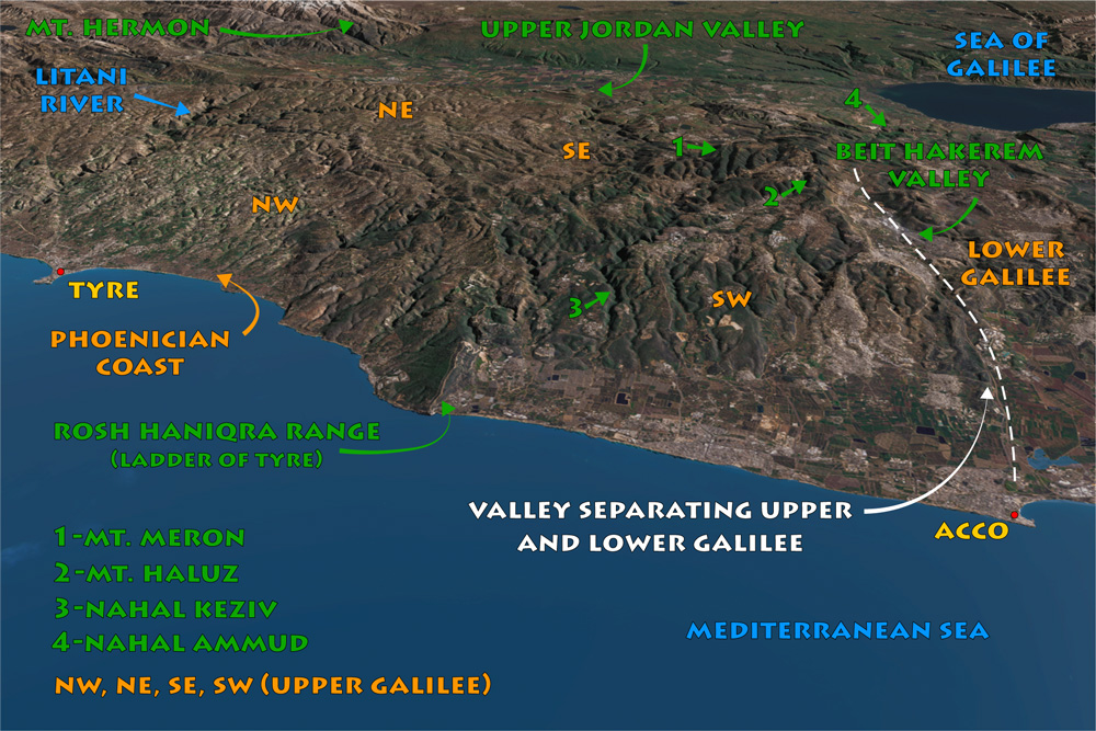
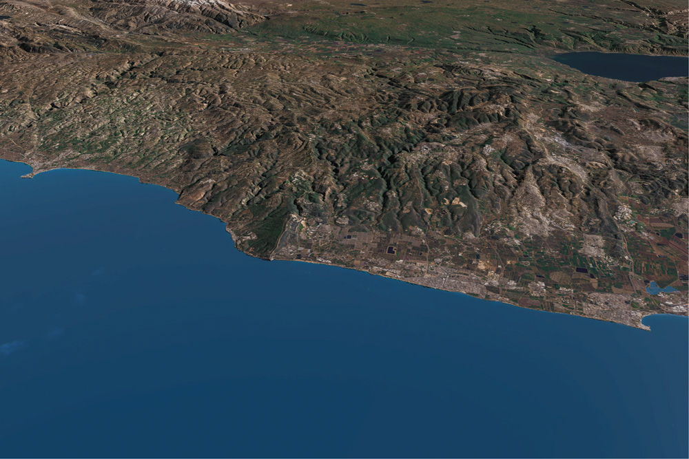
View east: Upper Galilee, Mt. Hermon, the upper jordan Valley, the Golan Heights, and the Sea of Galilee. Lower Galilee begins south of the Beit HaKerem Valley.
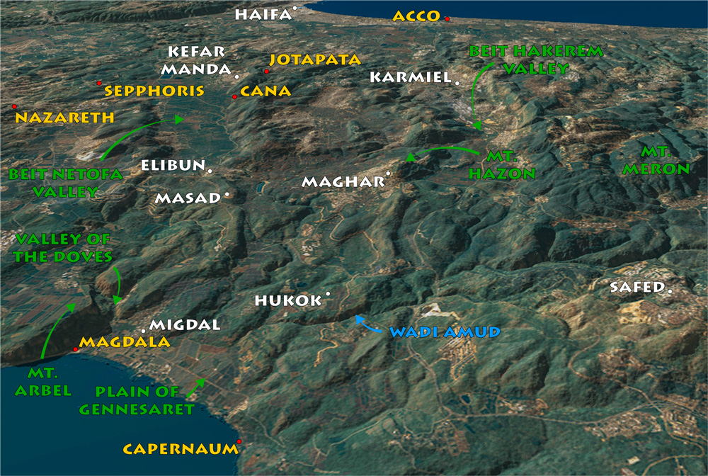
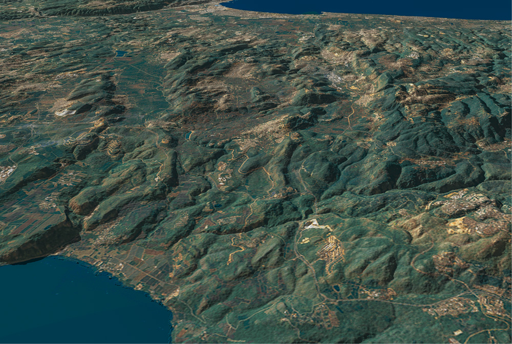
View west: The hills and valleys of Lower Galilee between the Sea of Galilee (lower left) and the Mediterranean sea (top right). modern cities mentioned in the text are in white.
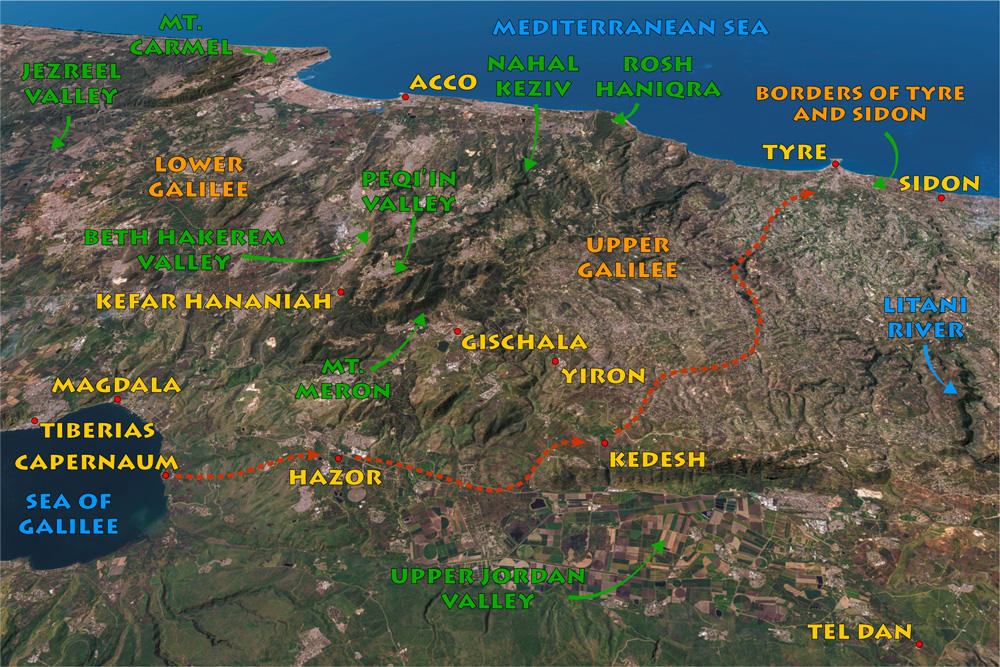
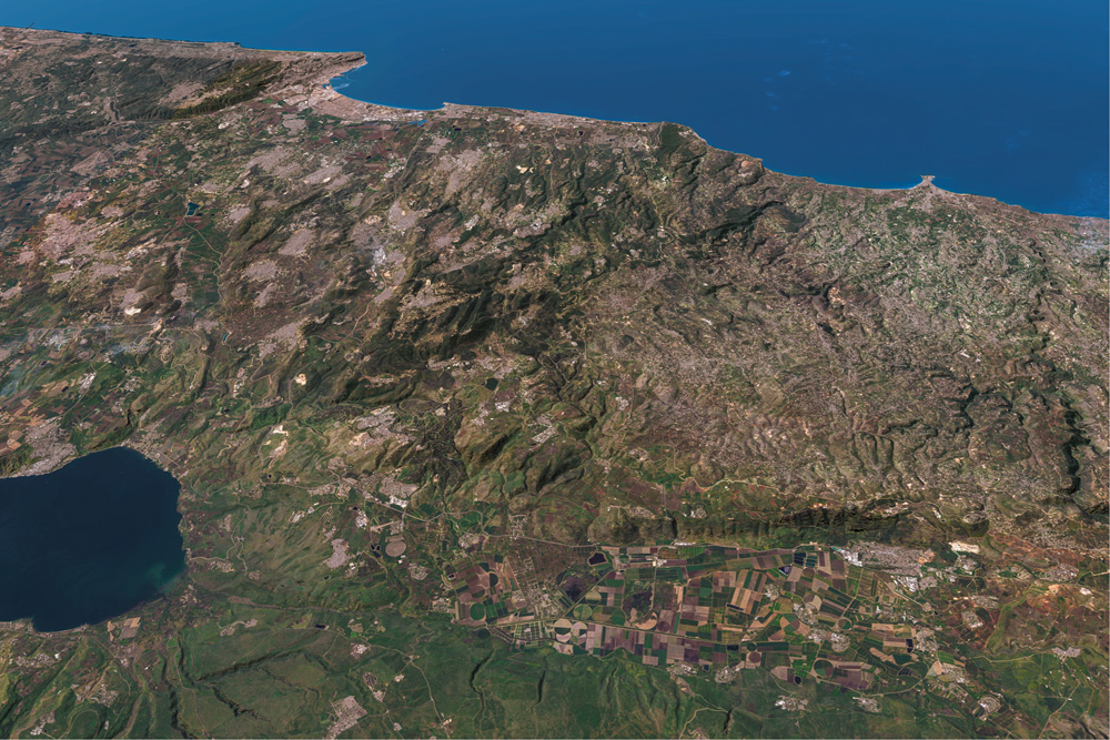
View west: The possible route Jesus took to the Coasts of Tyre and Sidon, which follows the Roman road of His day. The map also contains many of the names mentioned in the Upper Galilee descriptions as well as familiar biblical site names to help orient you in Galilee.
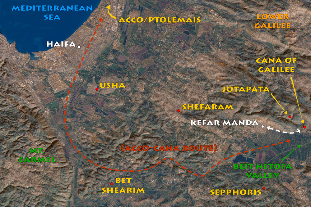
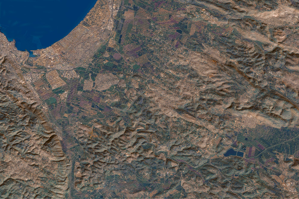
View north: This map shows the proximity of Cana to the coast, as well as ancient Jotapata and Sepphoris (see “Jotapata” on page 99 and “Sepphoris” on page 119).
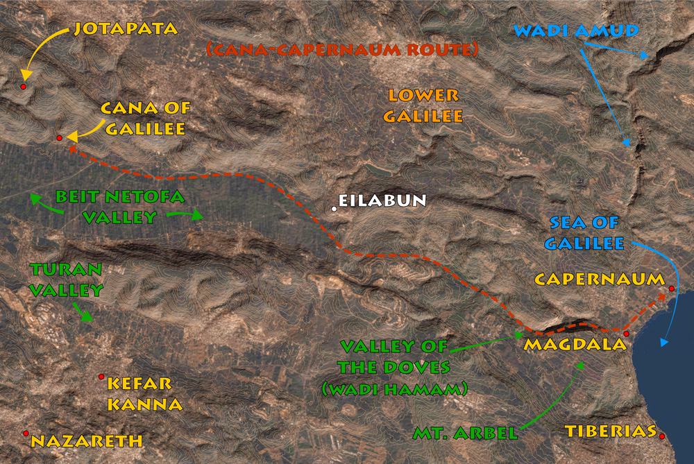
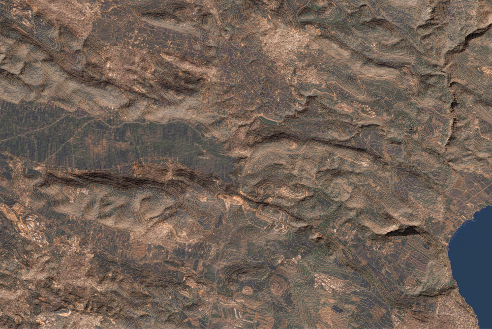
View north: Cana of Galilee contour map, showing the route from Cana to Capernaum. The distance is about 20 miles (33 kilometers).
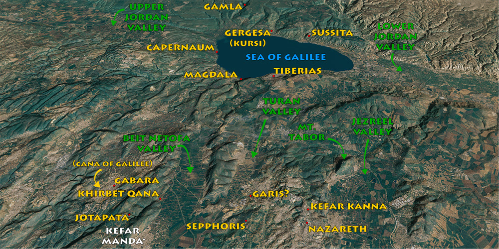
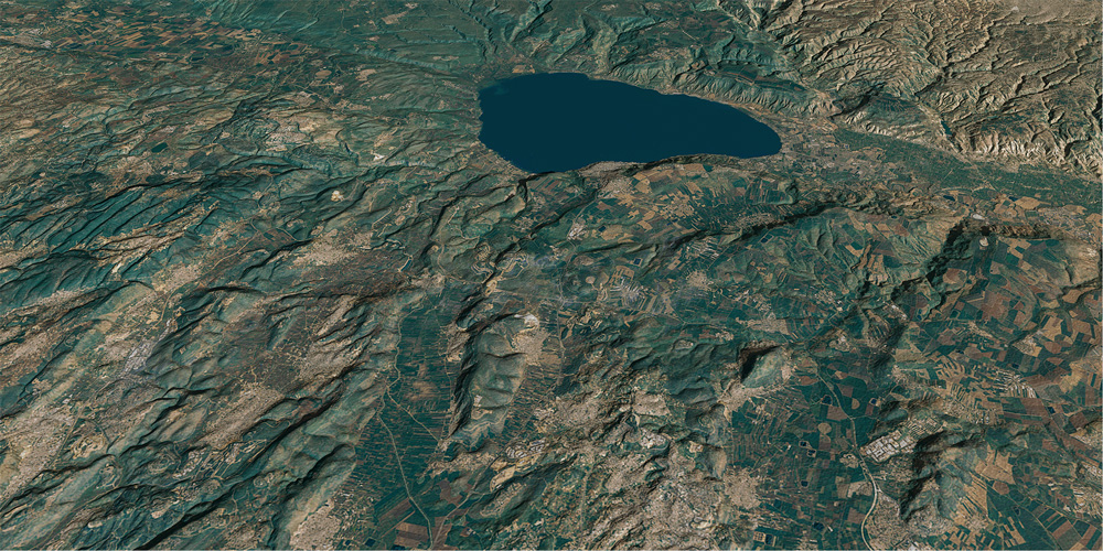
View east: This map also goes with Jotapata (page 99) and Nazareth (page 127). The cities around Jotapata and Sepphoris figure into the campaigns of Vespasian in Lower Galilee.

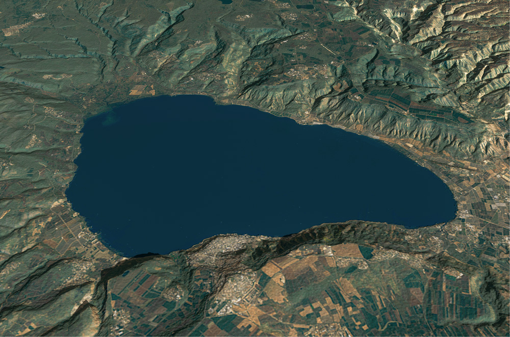
View East: Sea of Galilee map with most of the sites mentioned in this section, including some modern sites in white.
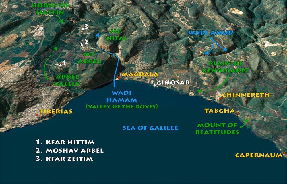
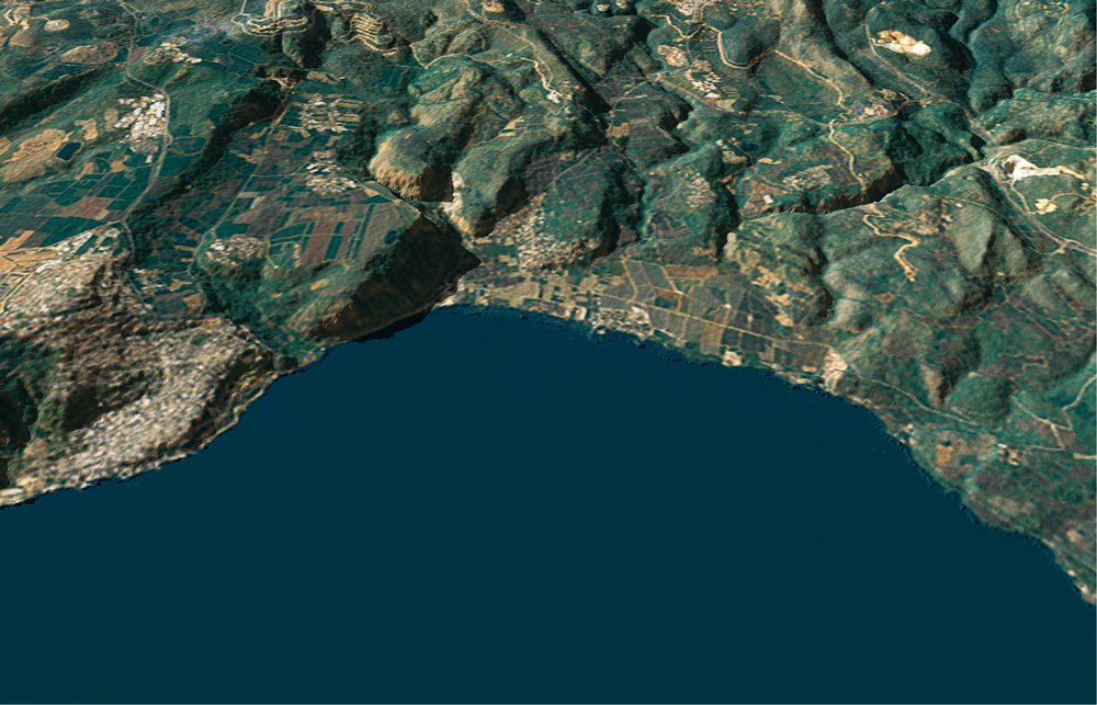
View west: The northwestern shore of the Sea of Galilee. Notice the traditional location of the Mount of Beatitudes between Tabgha and Capernaum. See also “Horns of Hattin” on page 195.
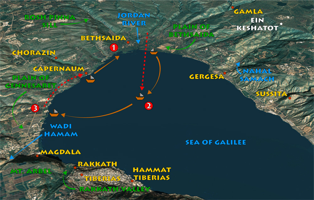
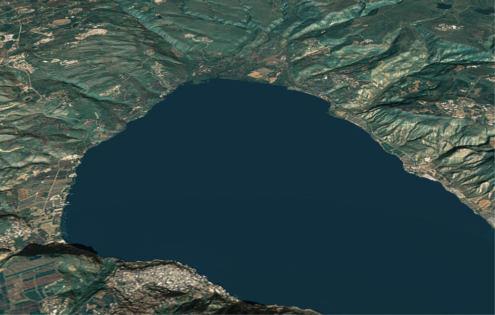
View northeast: Jesus fed the five thousand on the Plain of Bethsaida. After sending His disciples away, He walked on water to meet them during a storm.
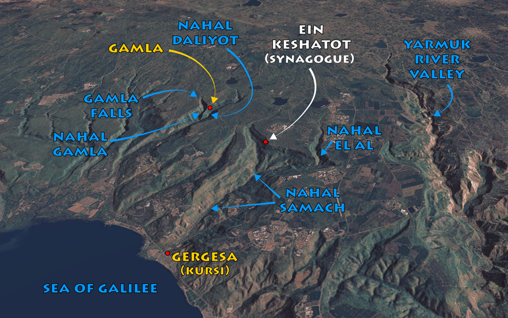
View northeast: Gamla context map. See “Nahal Samach” on page 271 and the synagogue of Ein Keshatot in chapter 4, “Ancient Synagogues,” on page 33.