Photos and Maps • Photo Usage Policy • Back to Overview
Open chapter PDF to read or share (new tab)
Open chapter PDF (new tab, book format)
View east—photo 3: I took this photo looking back at the Sea of Galilee (top center), hiking to reach Mt. Arbel (top right) from the west after climbing out of the valley (see the top photo on page 189).
You may download photos free of charge for non-commercial, educational purposes: home, church, synagogue, or school. You must, however, give proper attribution on or below each image to BibleLandImages.com.
If you’re using photos as part of a PowerPoint or other electronic presentation, it’s enough to mention the source of the photos at the beginning of your lecture.
The photos may not be used on other internet sites without permission.
You may download favorite chapters and sections or copy their URL links to share via email or in a messenger app. You may also post links on social media or a personal website.
By downloading a photo, chapter, or section you agree to this policy. If you have questions about it or need a commercial photo license, please contact me via email: Daniel@BibleLandImages.com.
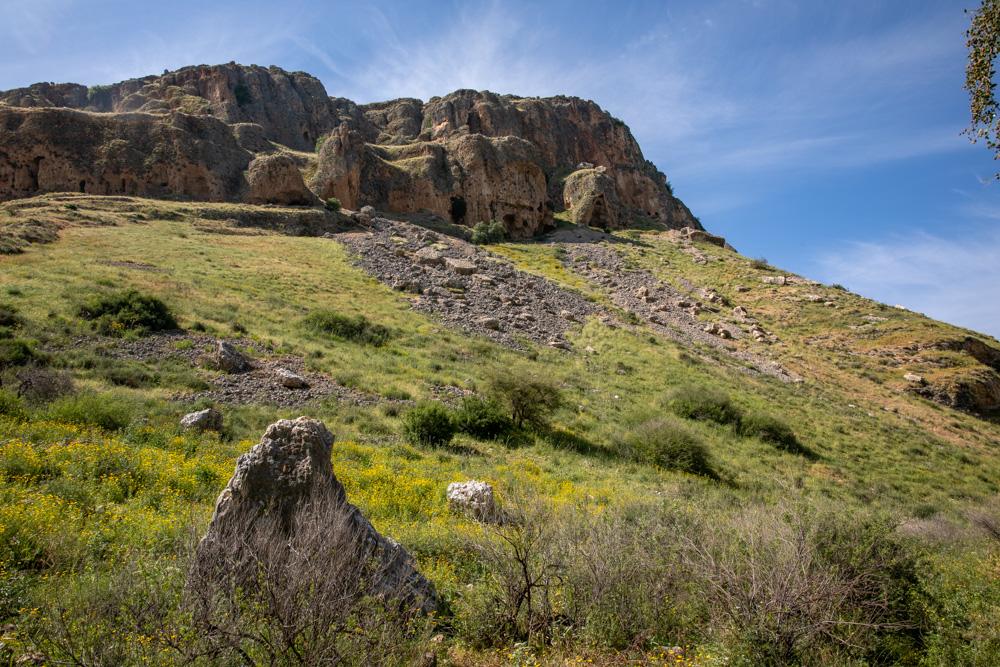
View north (photo 2): This spot is near the eastern end of the valley, looking up at Mt. Nitai. You can also see the lower caves where the Jews hid from the forces of King Herod in 39–38 BC.
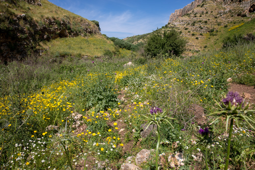
View east—photo 3: I took this photo looking back at the Sea of Galilee (top center), hiking to reach Mt. Arbel (top right) from the west after climbing out of the valley (see the top photo on page 189).
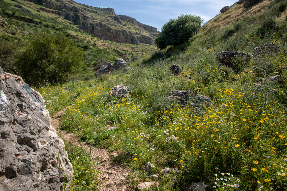
View West (photo 1): The hike up Wadi Hamam Between Mt. Nitai (right) and Mt. Arbel (left), part of the route between Cana of Galilee and Capernaum (See the map on page 193 for photo locations).
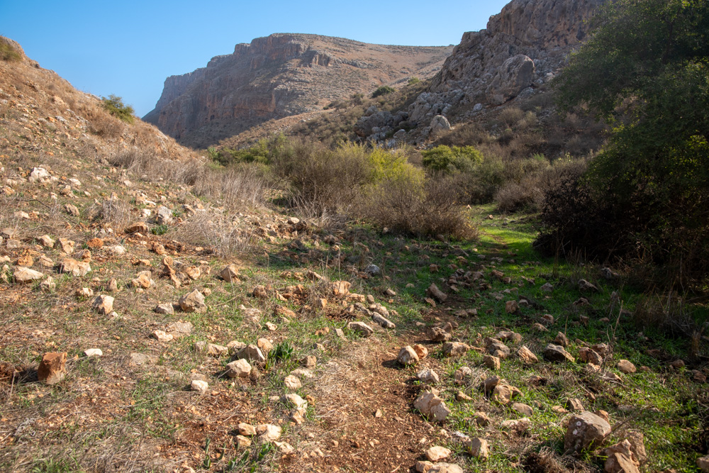
View east—photo 5: The hike as you approach Mt. Arbel (top center) and the Sea of Galilee. Wadi Hamam is beautiful any time of the year, but especially in the spring.
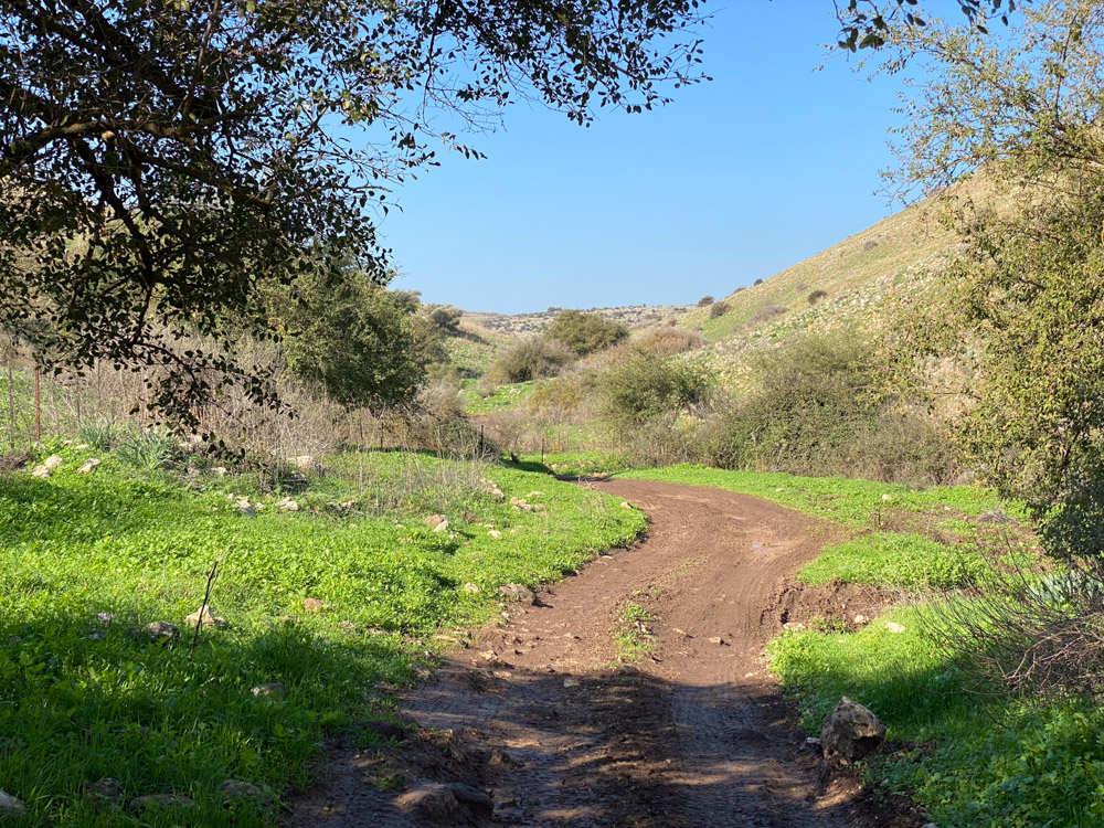
View west—photo 6: I took this photo after climbing down the southern slope of Mt. Nitai (right), where the valley begins to open en route to the beit Netofa Valley and Cana of Galilee.
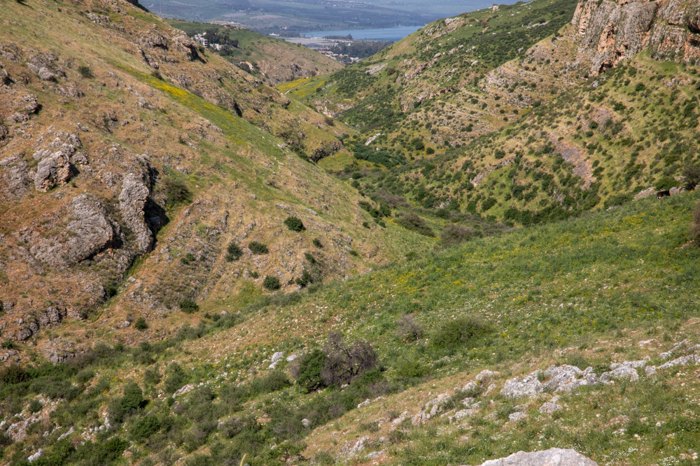
View east (photo 4): The valley of Wadi Hamam between Mt. Nitai (left) and mt. Arbel (right) and The Sea of Galilee (top center). It is also known as the Valley of the Doves, which is a translation from the Arabic.
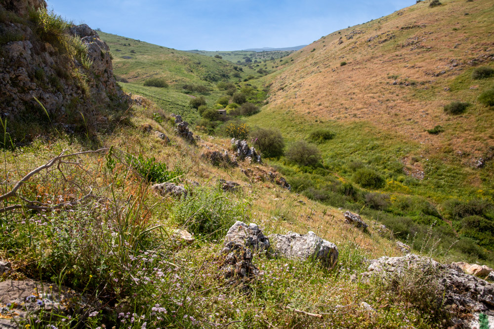
View west (photo 4): This photo was taken not far from the above photo, facing the opposite direction. This was the route that connected Cana of Galilee to the Sea of Galilee and Capernaum.
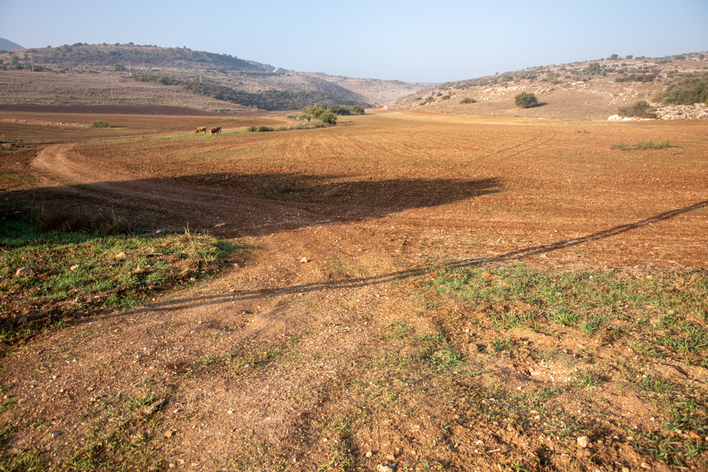
View west (Photo 10): A cultivated field next to the dirt road running south from Masad, just before dropping into Wadi Hamam.
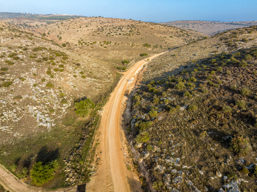
Below (view north—Photo 11): The upper reaches of Wadi Hamam east of the Arab-Christian town of Eliabun and the Bedouin village of Masad (top left). See the map on page 193.
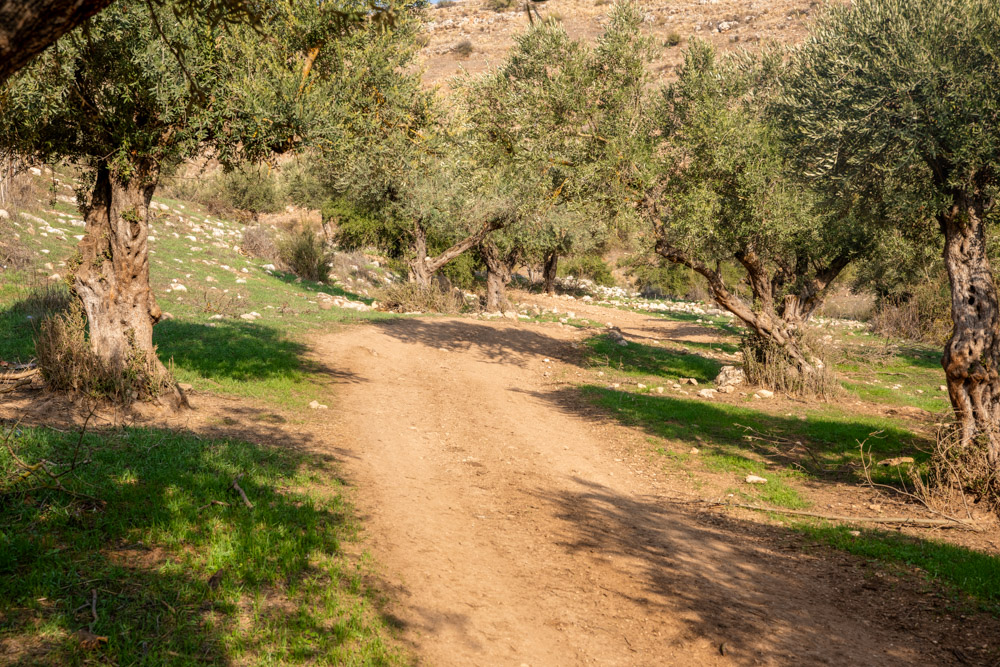
View south (Photo 7): The trail enters the canyon here, and the cliffs on each side grow steeper as it aproaches Mt. Arbel.
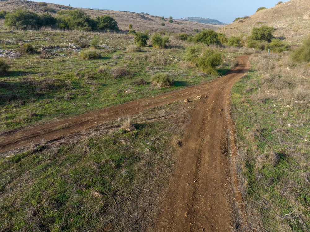
View west—Photo 8: The upper trail (left) leads toward the Horns of Hattin (see the top photo on page 192). The lower trail continues east along Wadi Hamam to the Sea of Galilee.
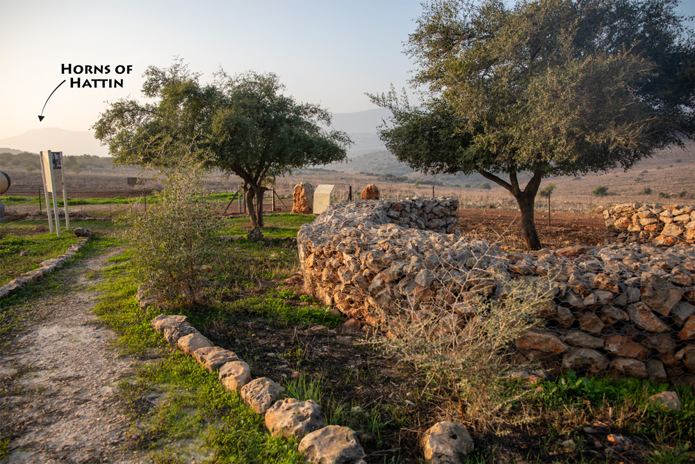
View south (photo 9): a small memorial park dedicated to the former Prime Minister of Israel, Yitzhak Rabin (1922–1995). Rabin was assassinated by a Jewish extremist who opposed the Oslo Accords.
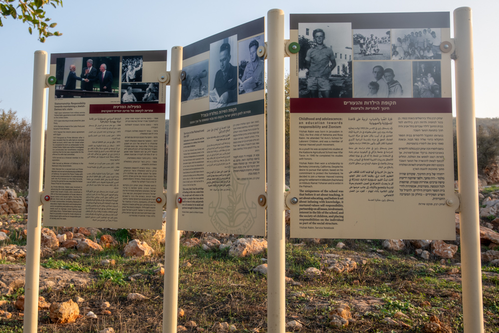
View east (photo 9): A stand in the park (see above photo) provides a brief history of Yitzhak Rabin’s life and accomplishments as a Zionist committed to Israel.
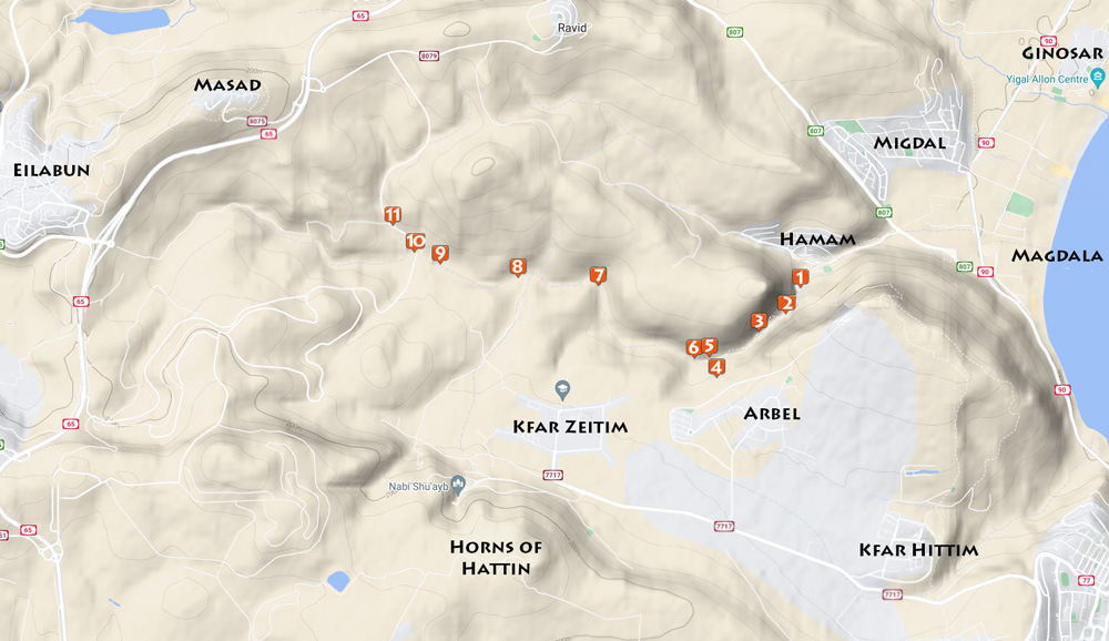
View north: This topographical map shows the GPS location of the photos in this section. Photo 9 marks the location of both photos on page 192. Photo 4 marks it for both photos on page 189.