Photos and Maps • Photo Usage Policy • Back to Overview
Open chapter PDF to read or share (new tab)
Open chapter PDF (new tab, book format)
View northeast: This photo was taken from Mt. Carmel, looking across the western end of the Jezreel Valley toward Lower Galilee. The valley carried the road from the port of Acco to Beit Shean.
You may download photos free of charge for non-commercial, educational purposes: home, church, synagogue, or school. You must, however, give proper attribution on or below each image to BibleLandImages.com.
If you’re using photos as part of a PowerPoint or other electronic presentation, it’s enough to mention the source of the photos at the beginning of your lecture.
The photos may not be used on other internet sites without permission.
You may download favorite chapters and sections or copy their URL links to share via email or in a messenger app. You may also post links on social media or a personal website.
By downloading a photo, chapter, or section you agree to this policy. If you have questions about it or need a commercial photo license, please contact me via email: Daniel@BibleLandImages.com.
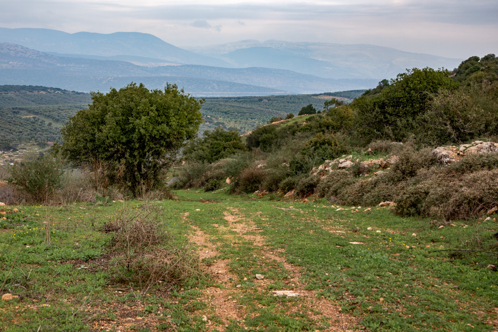
View north: The mountains of Lower Galilee. The Beit HaKerem Valley runs between the two highest ranges (top center) and is The valley that separates Upper and Lower Galilee.
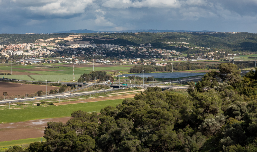
View northeast: This photo was taken from Mt. Carmel, looking across the western end of the Jezreel Valley toward Lower Galilee. The valley carried the road from the port of Acco to Beit Shean.
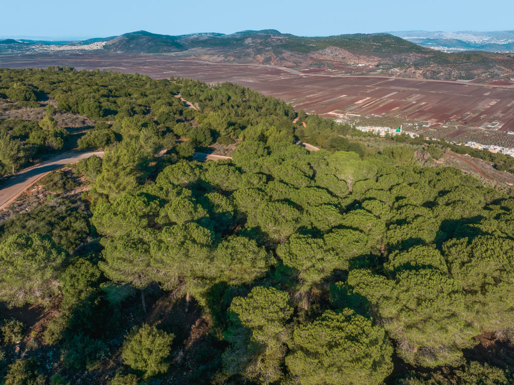
View northwest: The Beit Netofa Valley looking toward the Mediterranean Sea. Cana of Galilee was east and below Mt. ATsmon. The Arab town of Kefar Manda is on its southern slope (top left).
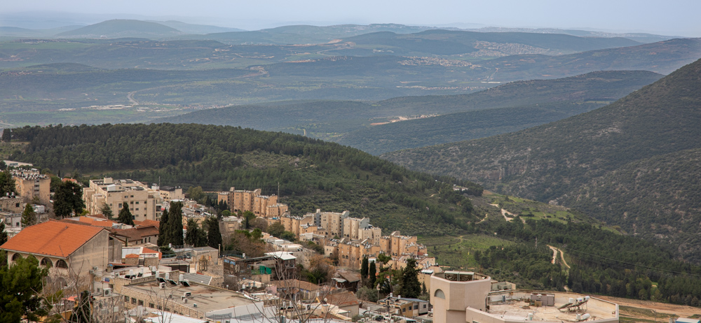
View South: Safed (lower left) and what Baly described as the “cultivated hills” and “fertile basins” of Lower Galilee. Also visible are Mt. Tabor (top left) and the Nazareth mountains (top center).
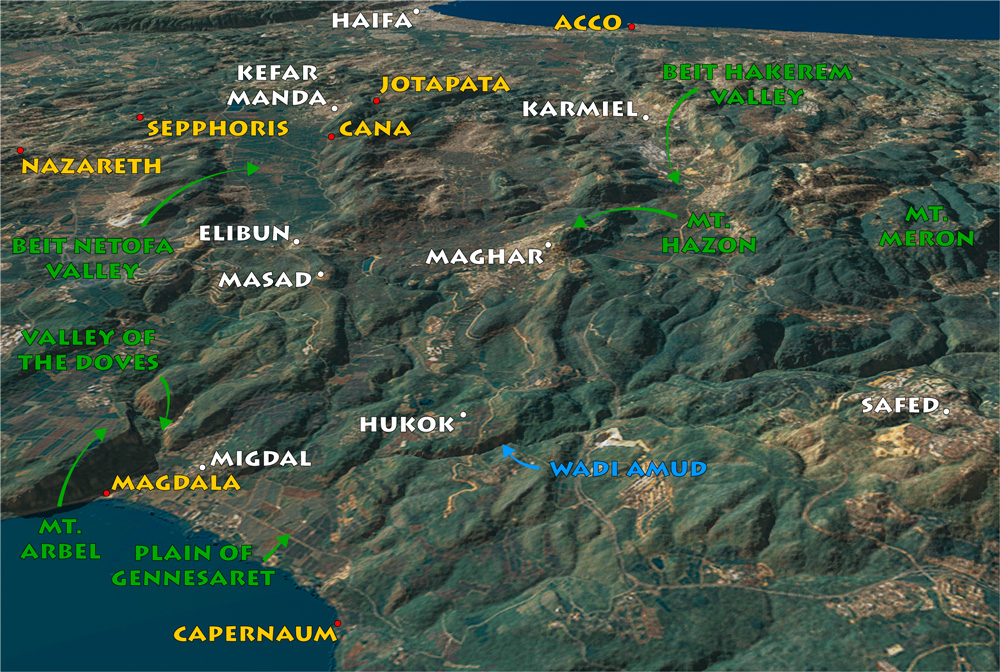
View west: The hills and valleys of Lower Galilee between the Sea of Galilee (lower left) and the Mediterranean sea (top right). modern cities mentioned in the text are in white.
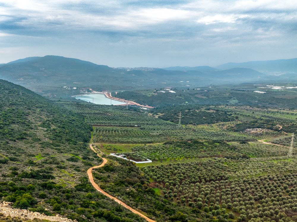
View west: This area is 1.8 MILES (3 kilometers) north of the Israeli town of Masad. THE VIEW IS toward the coast. The Sea of Galilee is 3.5 miles (6 kilometers) east of this spot.
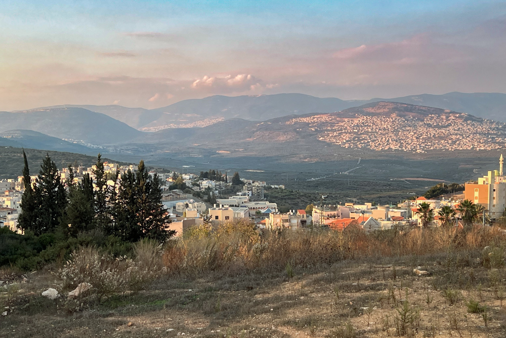
View NORTH: THE ARAB TOWN OF ELIBUN (FOREGROUND) LOOKING TOWARD UPPER GALILEE (TOP), THE BEIT HAKEREM VALLEY AND KARMIEL (CENTER LEFT), and Maghar—A Muslim, Christian, and Druze city (center right).
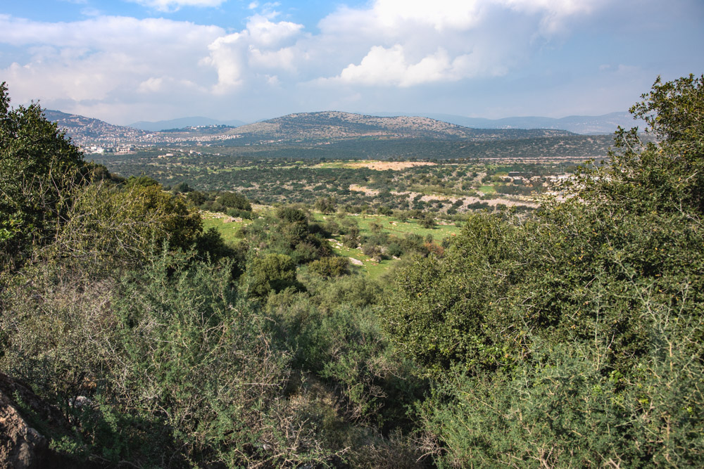
View north: This region is 1.8 miles (3 kilometers) north of the top photo on page 90. These are the valleys and hills of Lower Galilee north of the Beit Netofa valley (see photo on the bottom of page 90).
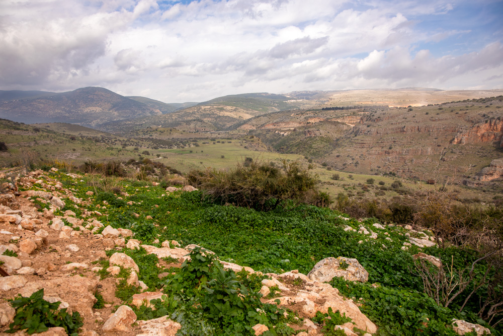
View north: This valley is 1.2 miles (2 kilometers) north of Hukok, and 3 miles (5 kilometers) west of the Sea of Galilee. Jesus walked these valleys as He went about “All Galilee” preaching His gospel.
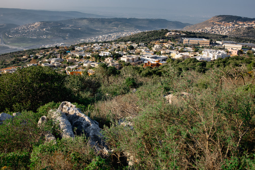
View southwest: The Beit haKerem Valley (upper left to right). The valley separated lower Galilee (top left) and Upper Galilee (foreground). Behind the mountain (upper right), you can make out Haifa in the haze.

View west: I took this photo standing near the summit of Mt. Hazon. The clouds blocked a photo of the Beit Hakerem valley (upper right) all day, which was the objective of climbing the mountain.
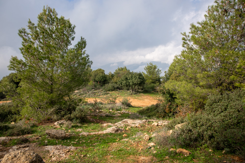
View northwest: This photo was taken standing near the top of Mt. hazon, which overlooks the city of Maghar to the south and the Beit Hakerem Valley to the north (see the map on page 89).
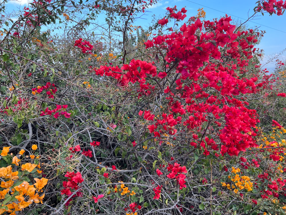
You find the bougainvillea flower all over Galilee. They come in red, orange, Pink, yellow, purple, and white. This photo was taken west of Migdal, which is near the northwestern shore of the Sea of Galilee.