
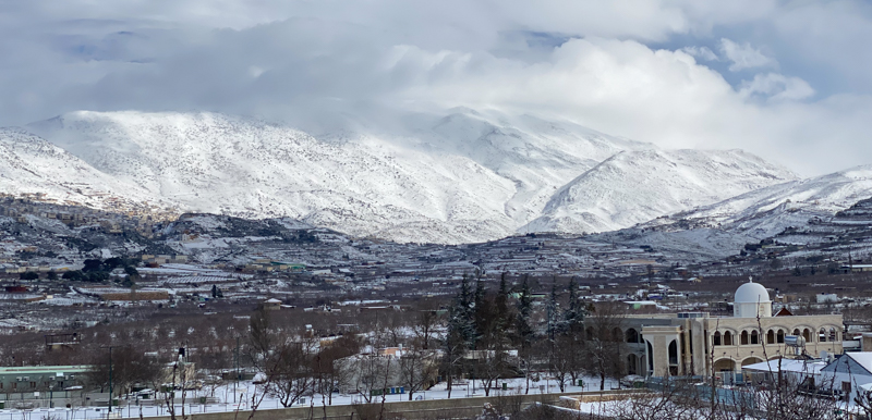
Learn the land of the Bible through photos, satellite maps, and brief descriptions of times and events
 If you plan to visit Israel, this site will help you prepare. It should also help anyone who has already toured the country and want help remembering what they saw. The site is free, so take your time. Explore the Holy Land in the comfort of your home.
Click the photos on the site to get enlarged views. For example, try clicking the thumbnail photos on this page. If you like any of the photos in the sliding panel (above), click here to download one or all of the photos (see Photo Usage Policy below).
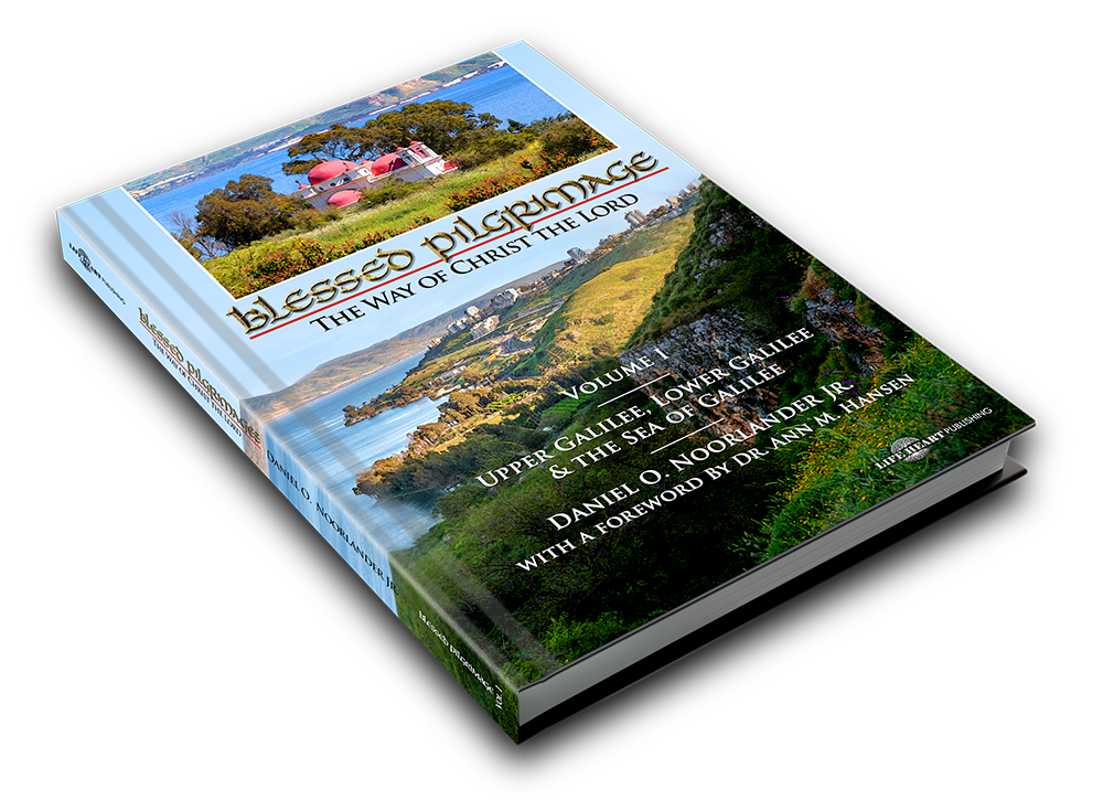
This is our first book on the Holy Land, and the first in a four-part series on the history and geography of the land and way of Christ the Lord. Click the image below for more information on how you can read the book and download the photos and chapters for free.

-Edit-Edit-Edit-Edit.jpg)


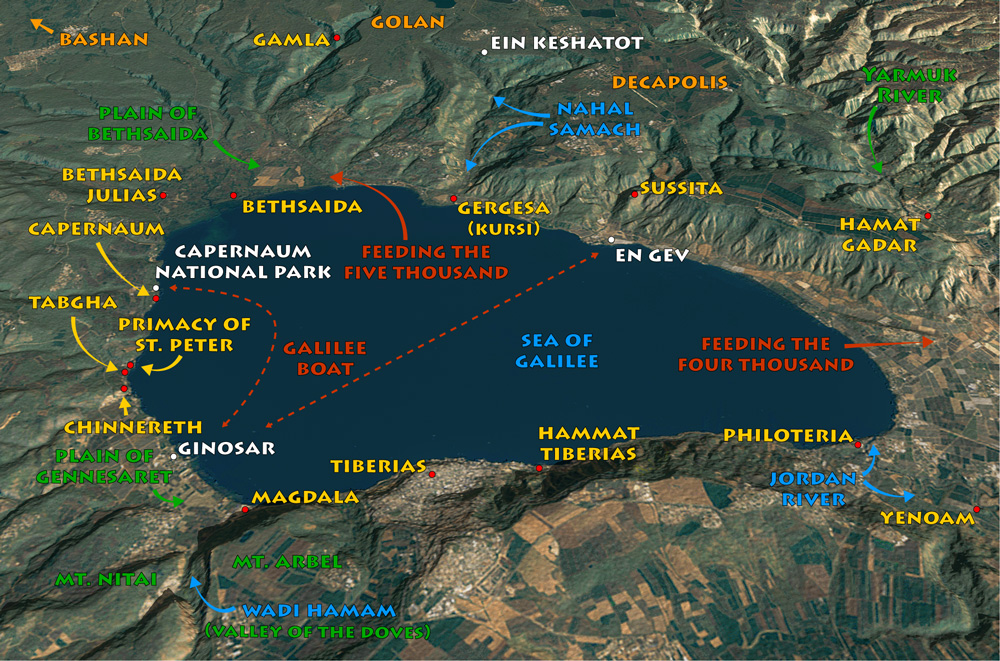
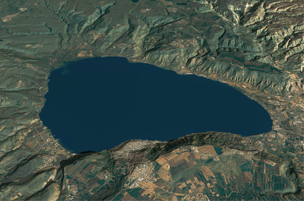
Bible Land Images uses non-destructive map and photo overlays to help you learn the land of the Bible. The map below is from the Sea of Galilee chapter. Click the map to display an enlarged view, then click it again to toggle the overlay off and on.
You may download photos free of charge for non-commercial, educational purposes: home, church, synagogue, or school. You must, however, give proper attribution on or below each image to BibleLandImages.com.
If you’re using photos as part of a PowerPoint or other electronic presentation, it’s enough to mention the source of the photos at the beginning of your lecture.
The photos may not be used on other internet sites without permission.
You may download favorite chapters and sections or copy their URL links to share via email or in a messenger app. You may also post links on social media or a personal website.
By downloading a photo, chapter, or section you agree to this policy. If you have questions about it or need a commercial photo license, please contact me via email: Daniel@BibleLandImages.com.
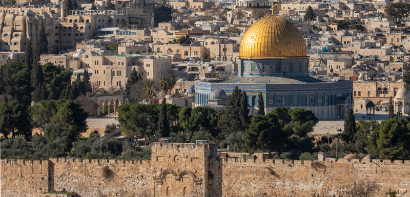
View north: Jerusalem Old City inside the Damascus gate. Blessed Pilgrimage: Following Christ to Gethsemane, volume 3 in the series, is on the Holy City of Jerusalem, ancient and modern.
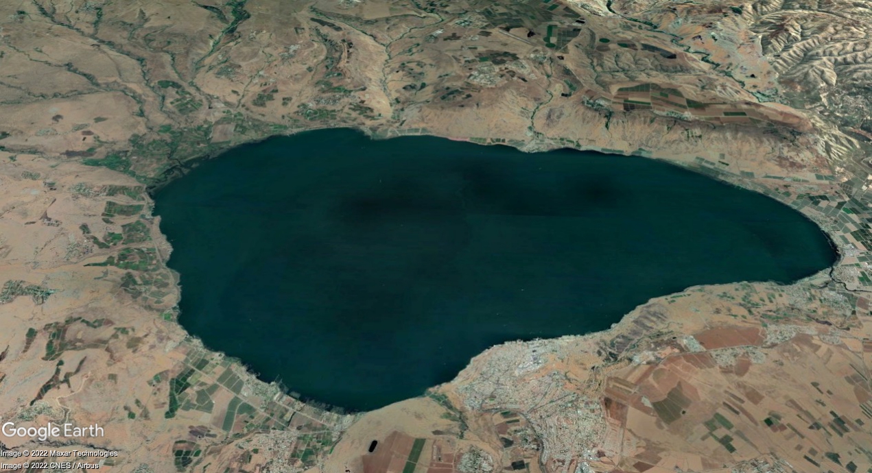
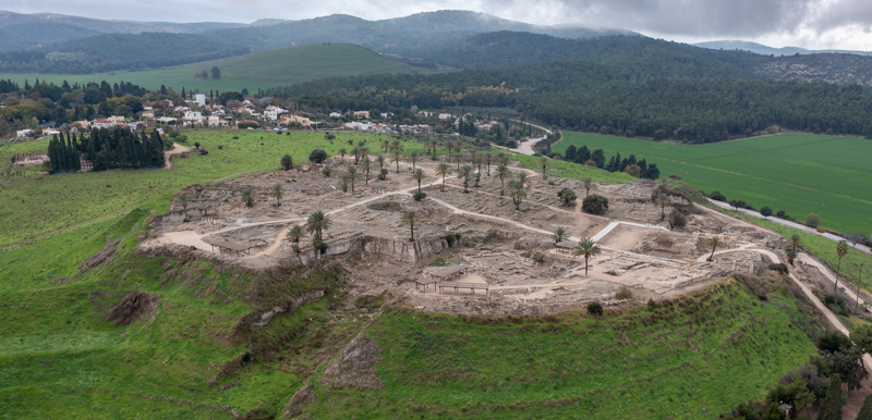
View East: Sea of Galilee surrounded by New Testament cities (light orange).
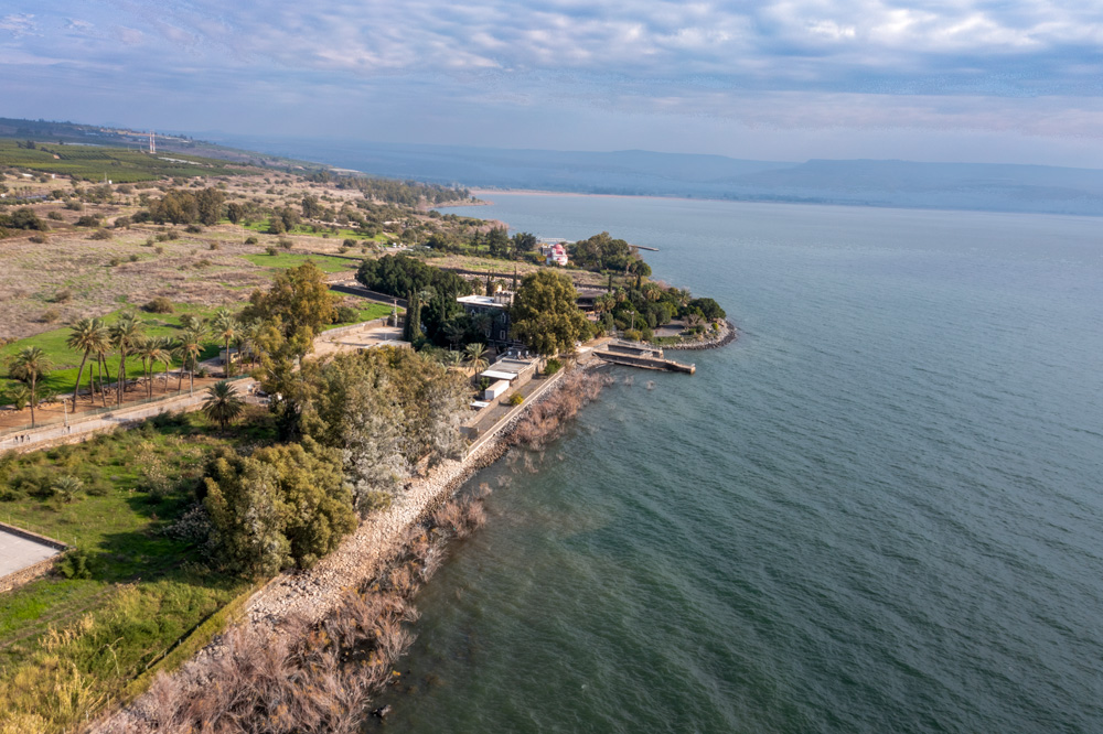
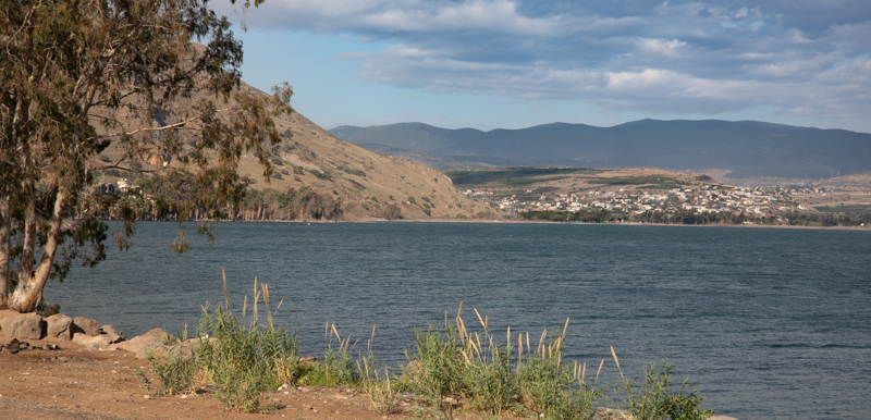
View East (aerial photo) The north shore of the Sea of Galilee with both east and west Capernaum in view.
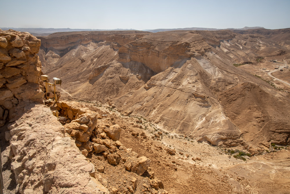
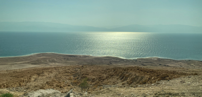
View southwest: The photo was taken from Masada (near the Dead Sea), overlooking the western valley. Read about Masada in Blessed Pilgrimage: Embracing the Covenant.
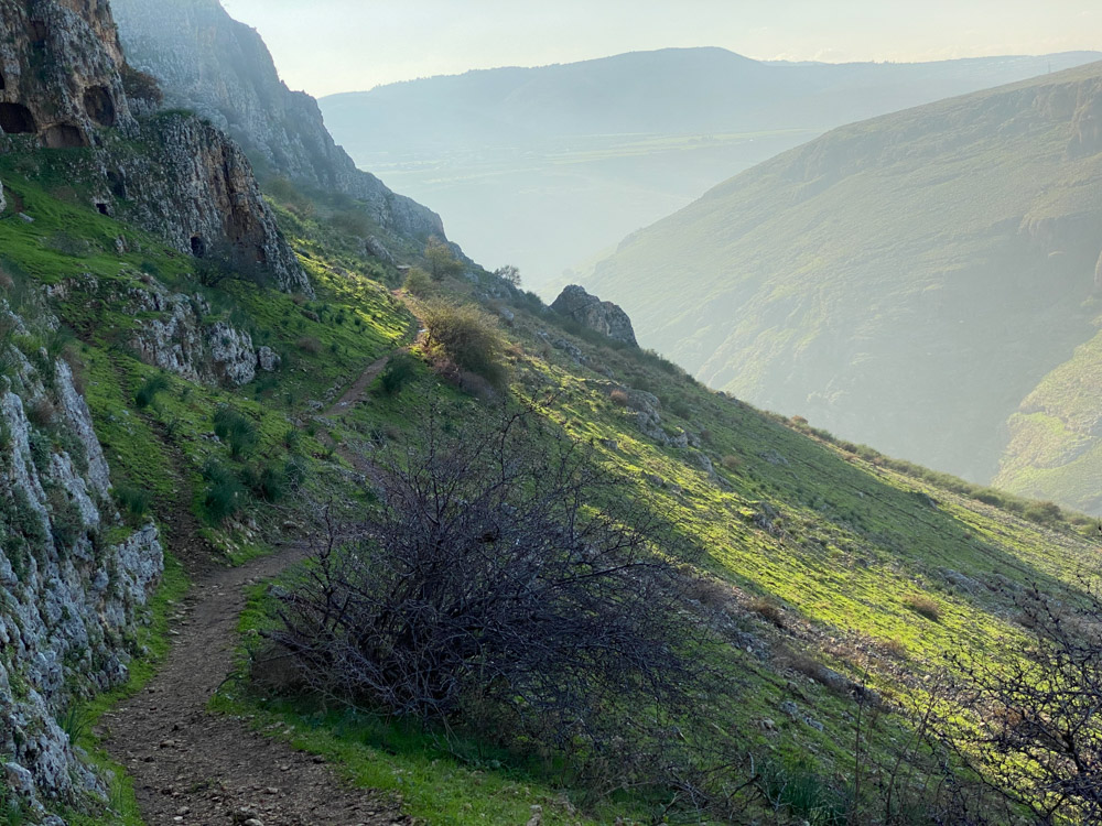
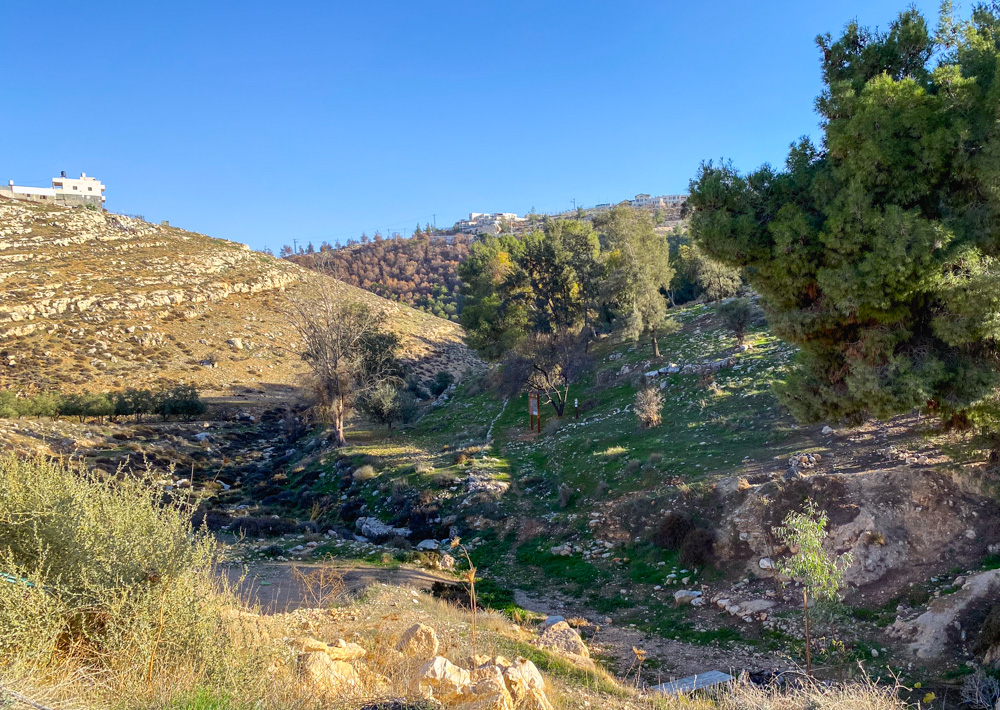
View west: The photo was taken from the northern side of Mt. Arbel, looking down at Wadi Hamam, which leads into the Sea of Galilee.
View south: The photo was taken from Azekah overlooking the Judean Shephelah. In the battle between David and Goliath, the Philistines “pitched between Shochoh and Azekah” in the Elah Valley (1 Sam. 17:1). Learn more about the Elah Valley in Blessed Pilgrimage: Navigating the Wilderness.
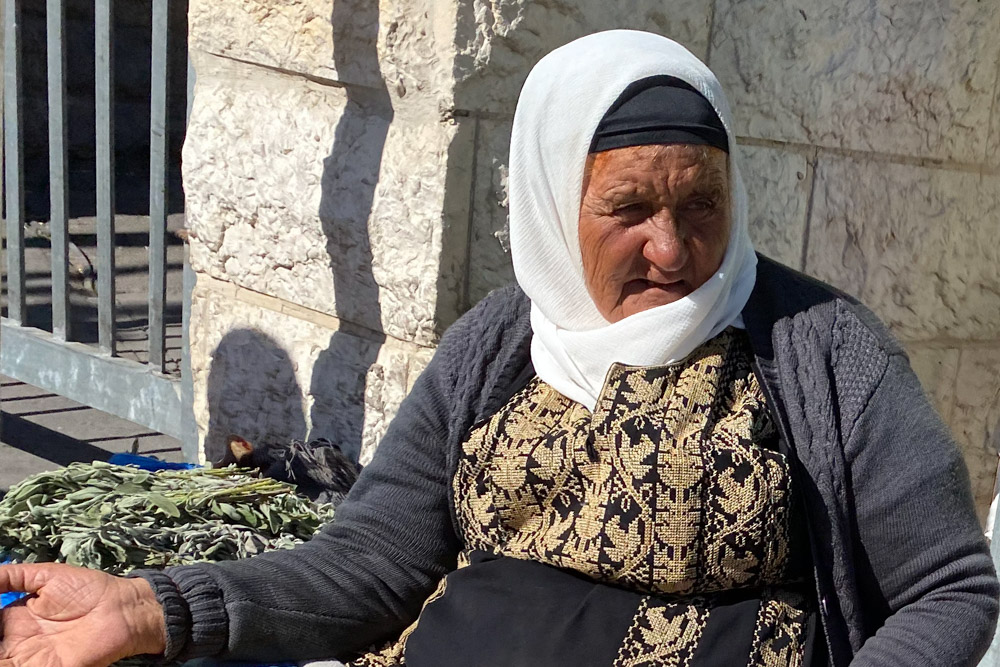
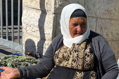
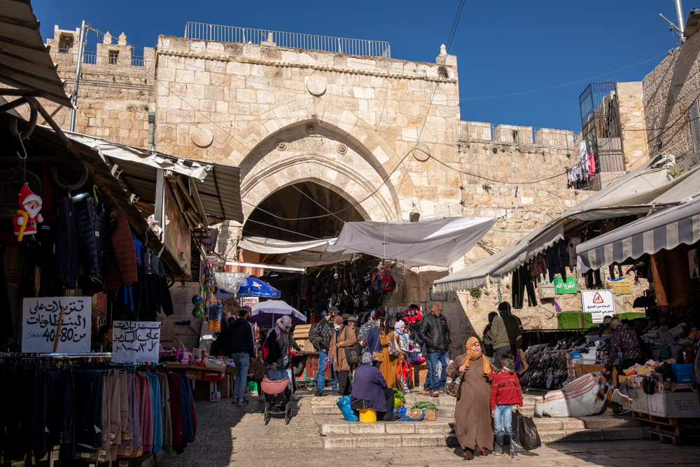
Arab woman selling vegetables – The photo was taken across the street from the Damascus gate, Old City Jerusalem.
View north: Golgotha (biblical Greek) or Calvary (Latin) (“place of the Skull”) is the hill on which Jesus was crucified. It is a short distance northeast of Damascus gate in Jerusalem, above the Arab bus station. Today, an Arab cemetery sits on top of the hill. Read about these sacred places in Blessed Pilgrimage: Following Christ to Gethsemane.
View northwest: A colorized late nineteenth century photo of Golgatha. Compare it with the photo above this one in the sample photo section.
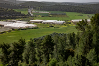
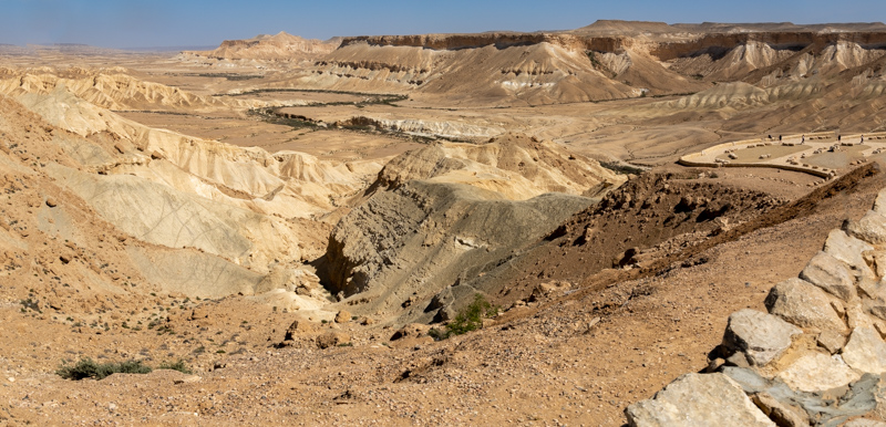
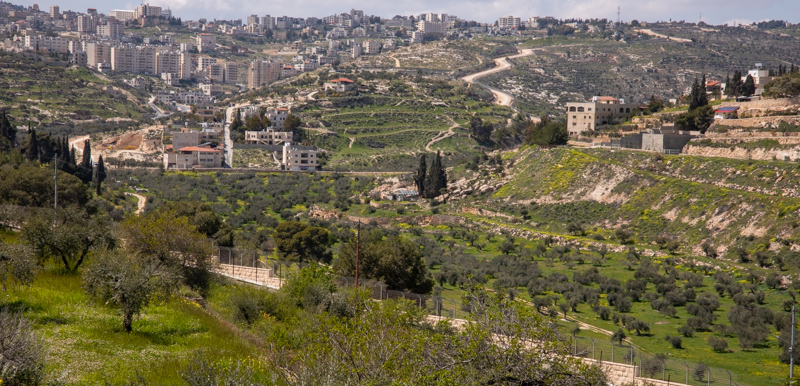
View east: The valley on the north side of Tekoa, about 28 miles (45 kilometers) south of Jerusalem. The prophet Amos was a shepherd from Tekoa (Amos 1:1). Read more about Tekoa in Blessed Pilgrimage: Navigating the Wilderness.

