Photos and Maps • Photo Usage Policy • Back to Overview
Open chapter PDF to read or share (new tab)
Open chapter PDF (new tab, book format)
View north: This photo was taken from Mt. Turan in Lower Galilee, looking toward the much higher mountains of Upper Galilee (top).
You may download photos free of charge for non-commercial, educational purposes: home, church, synagogue, or school. You must, however, give proper attribution on or below each image to BibleLandImages.com.
If you’re using photos as part of a PowerPoint or other electronic presentation, it’s enough to mention the source of the photos at the beginning of your lecture.
The photos may not be used on other internet sites without permission.
You may download favorite chapters and sections or copy their URL links to share via email or in a messenger app. You may also post links on social media or a personal website.
By downloading a photo, chapter, or section you agree to this policy. If you have questions about it or need a commercial photo license, please contact me via email: Daniel@BibleLandImages.com.
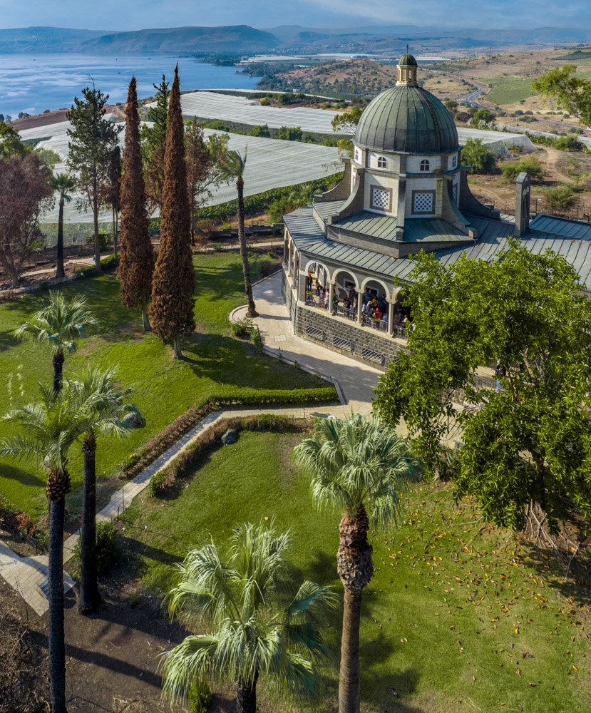
View west: The Roman Catholic Church of the Beatitudes on the Mount of Beatitudes overlooking Tabgha and the Sea of Galilee (Upper left). Also visible are Mt. Arbel, the Horns of Hattin, Mt. Nitai, and the Plain of Gennesaret (top).
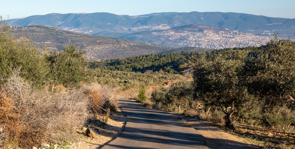
View north: This photo was taken from Mt. Turan in Lower Galilee, looking toward the much higher mountains of Upper Galilee (top).
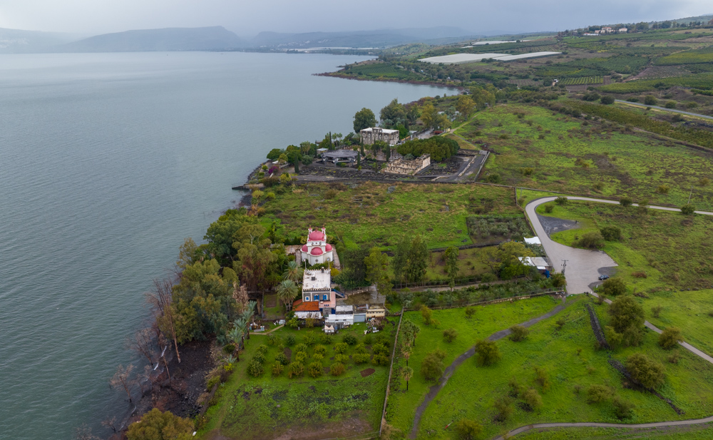
View west: The northern shore of the Sea of Galilee, with a view of both Capernaums: The White Synagogue (center) and The Greek Orthodox Church of the Twelve Apostles (Lower center). See a panoramic detail of the church at the top of page xxii and in the bottom map on page xxiii.
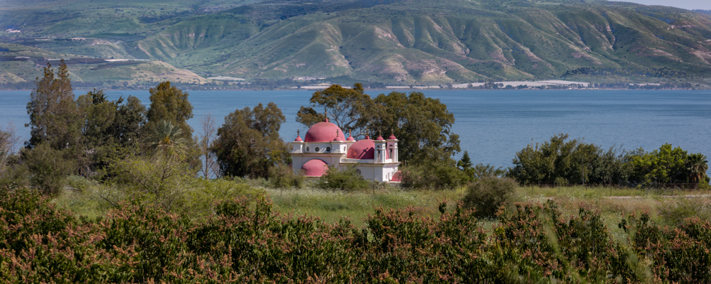
View east: a panoramic view of the Greek Orthodox Church of the Twelve Apostles (eastern Capernaum), looking across the Sea of Galilee toward biblical Gergesa (Kursi), where Jesus cast out devils and allowed them to enter a herd of swine (See Matt. 8:28–34 and the bottom map on page xxiii).
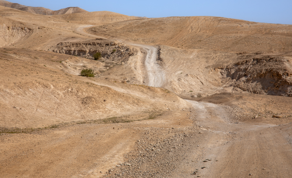
View north: The Judean desert west of Qumran and the Dead Sea. If you follow the road, it eventually drops down to Kibbutz Kalya on the Dead Sea.
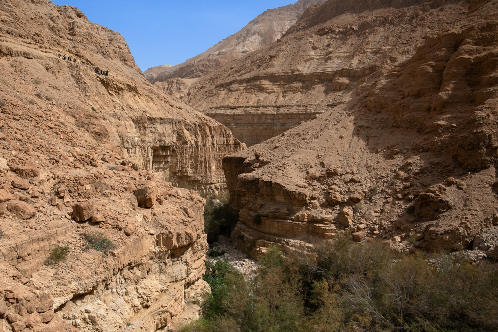
View East: Wadi Arugot, south of Qumran near the Dead Sea. Notice the people hiking the trail in the photo (top left). They provide perspective on the majesty of the canyon.
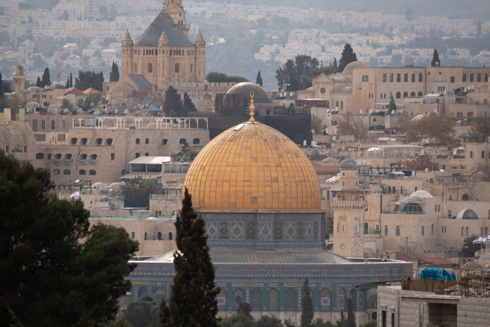
View west: The Dome of the Rock on the temple mount in Jerusaelem. also visible in the background is the majestic Dormition Abbey (top left).
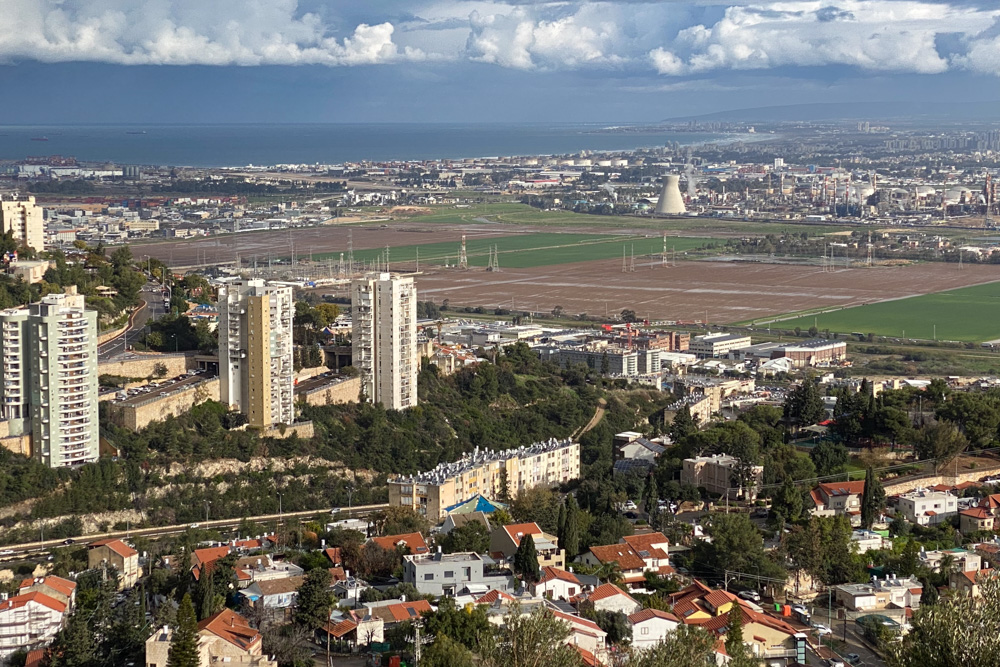
View north: The city of Nesher overlooking Haifa Bay and the Mediterranean Sea. I lived in an older apartment building (lower center).
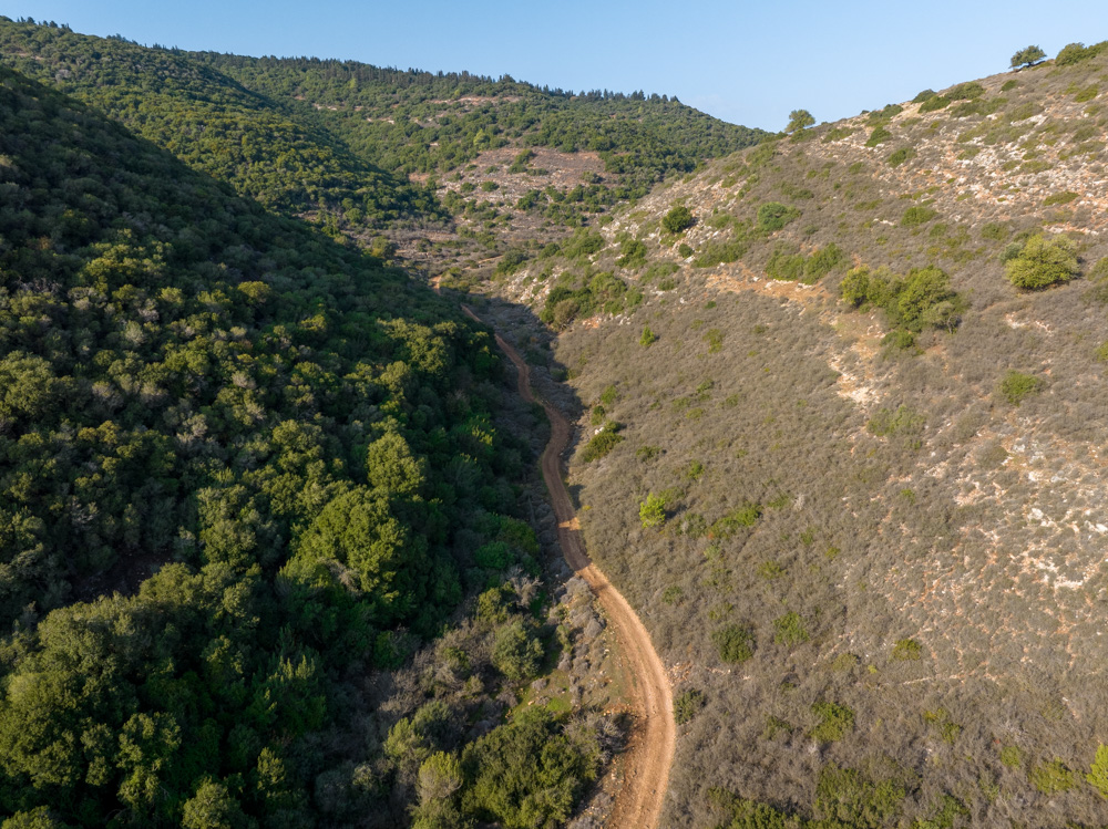
View west: The valley between Jotapata and Khirbet Qana (Cana of Galilee). this is the way Jesus would have walked between the cities. See “Cana of Galilee” on page 105.>.
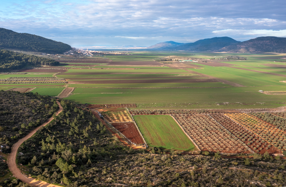
View west: The Beit Netofa Valley with Khirbet Qana (Cana of Galilee) at its western end (Upper right). The valley was one of the major routes through Lower Galilee in Jesus’s day.
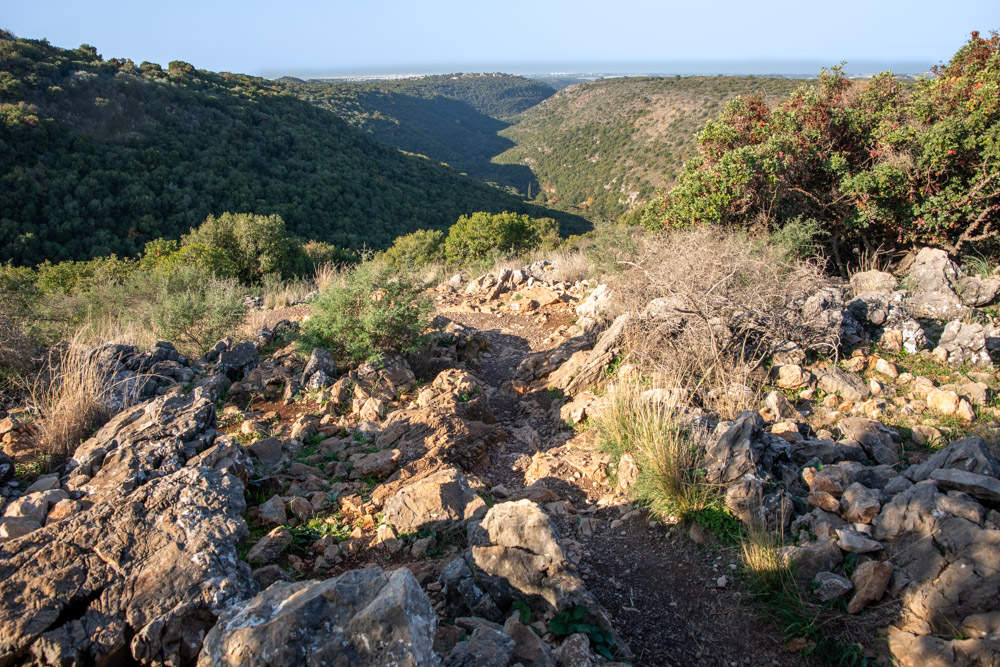
View west: This photo was taken in Upper Galilee near the Crusader Montfort castle. It looks out over Nahal Keziv, which drains near Nahariya on the Mediterranean coast (top).
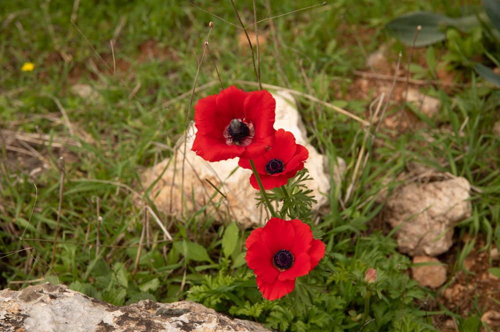
The flowers in this photo were taken in Wadi Amud between Safed and the Sea of Galilee. This is Israel’s national flower, the anemone coronaria. Jesus called them “lilies of the field” (see Matt. 6:28–33).