Photos and Maps • Photo Usage Policy • Back to Overview
Open chapter PDF to read or share (new tab)
Open chapter PDF (new tab, book format)
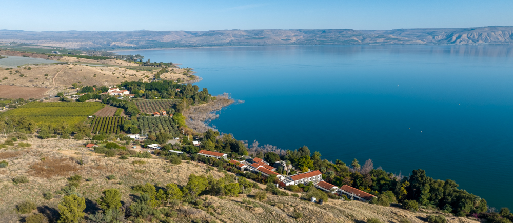
View east: The northern shore of the Sea of Galilee (center left), looking toward Tabgha (see “Tabgha” on page 223 and “Capernaum” on page 235).
You may download photos free of charge for non-commercial, educational purposes: home, church, synagogue, or school. You must, however, give proper attribution on or below each image to BibleLandImages.com.
If you’re using photos as part of a PowerPoint or other electronic presentation, it’s enough to mention the source of the photos at the beginning of your lecture.
The photos may not be used on other internet sites without permission.
You may download favorite chapters and sections or copy their URL links to share via email or in a messenger app. You may also post links on social media or a personal website.
By downloading a photo, chapter, or section you agree to this policy. If you have questions about it or need a commercial photo license, please contact me via email: Daniel@BibleLandImages.com.
View north: Plain of Gennesaret. This photo was taken near Magdala on the southern end of the plain. It looks toward the sunlit city of Safed (top center; see “safed (Zefat) on page 77).
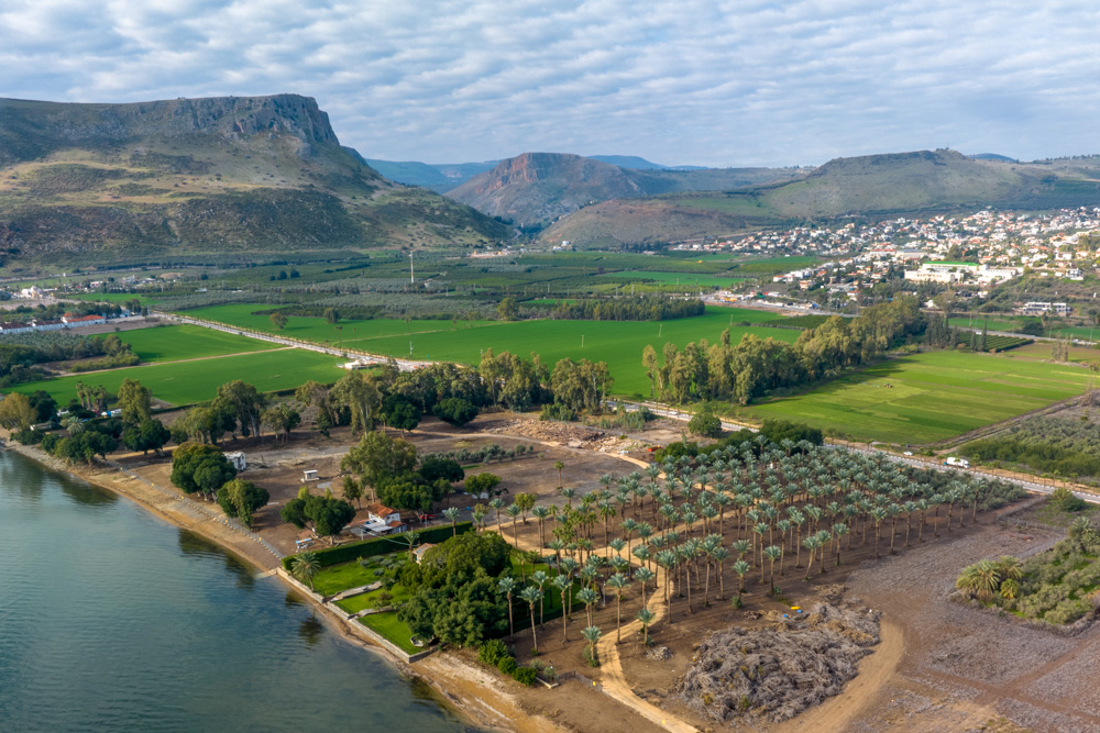
View north: Plain of Gennesaret. I’m on the trail that descends from Mt. Arbel east, then south toward Tiberias. It looks down on Kibbutz Ginosar (top center), where the Galilee Boat was discovered.
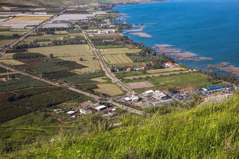
View west: The fertile Plain of Gennesaret looking toward Mt. Arbel (top left) and Mt. Nitai (top center). Wadi Hamam (Valley of the Doves) runs between the mountains (See “Wadi Hamam” on page 187).
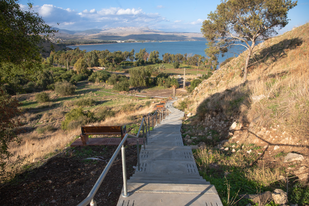
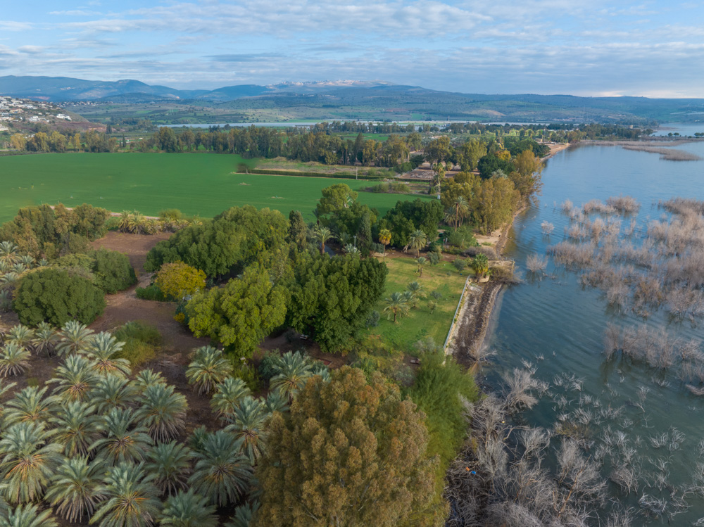
View northeast: The Rakkath Valley (center left) with the steps leading to the top of Tel Rakkath (right). The Plain of Gennesaret is west of the tree line on the northern shore of the lake (upper left).
View northeast: Jesus fed the five thousand on the Plain of Bethsaida. After sending His disciples away, He walked on water to meet them during a storm.
View north: This area is above the Plain of Bethsaida, near the east canyon that leads to Gamla. Before He fed the five thousand, Jesus “went up into a mountain, and . . . sat with His disciples” (John 6:1–3).
View south: The eastern side of the Plain of Bethsaida, looking toward the Sea of Galilee (top), with a mountain ridge overlooking the plain. This photo was taken a little south of the photo on page 205.
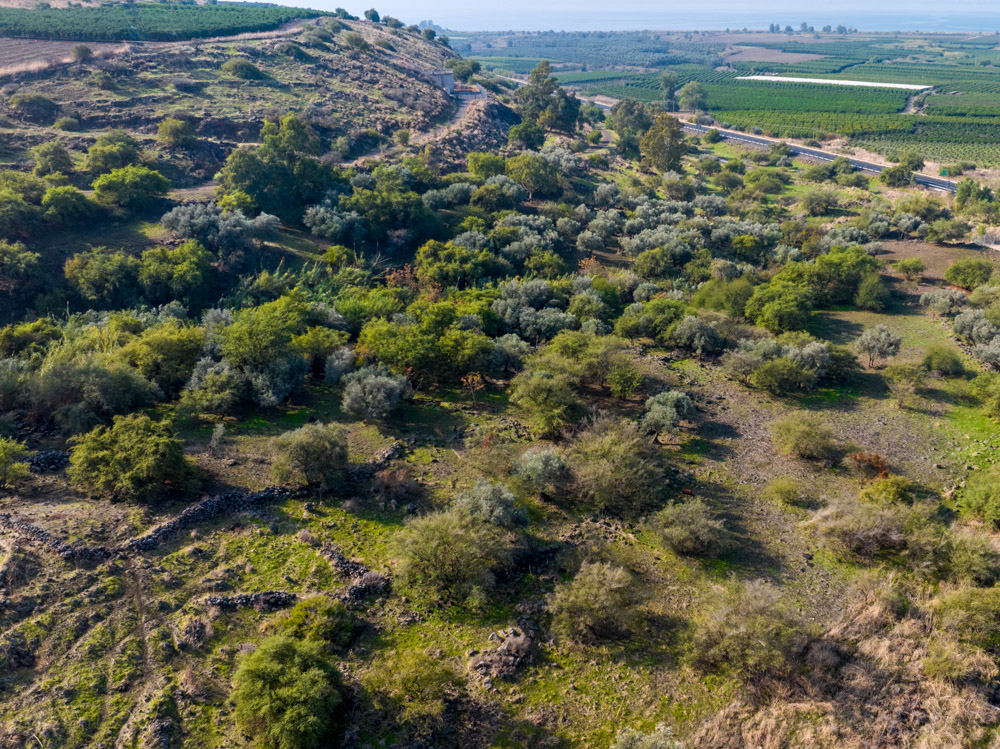
View north: This photo was taken east of the photo on page 205, toward the eastern edge of the Plain of Bethsaida below the mountain (see photo above).
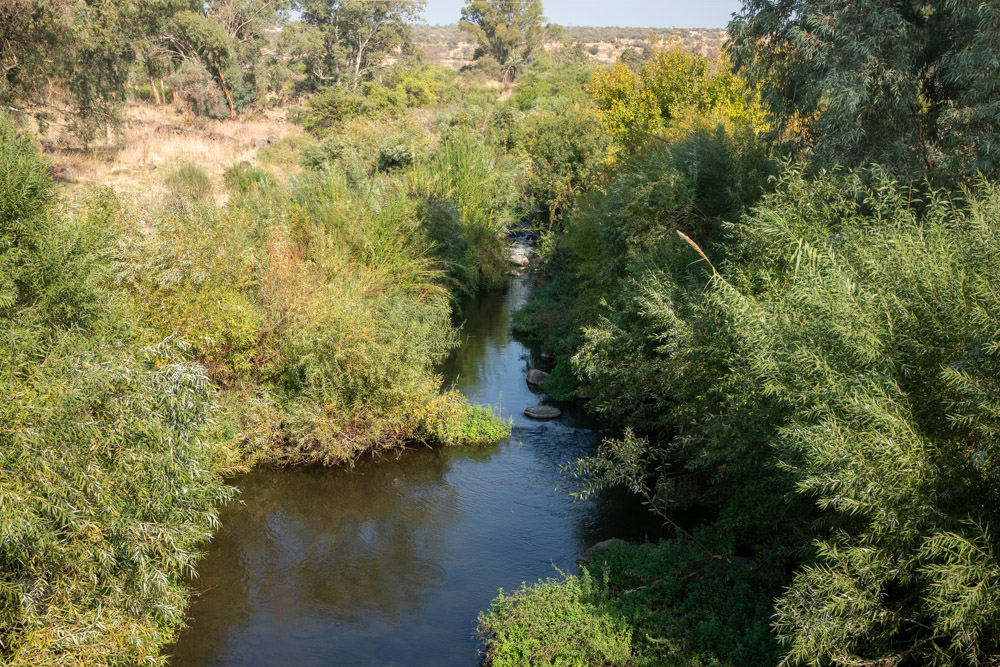
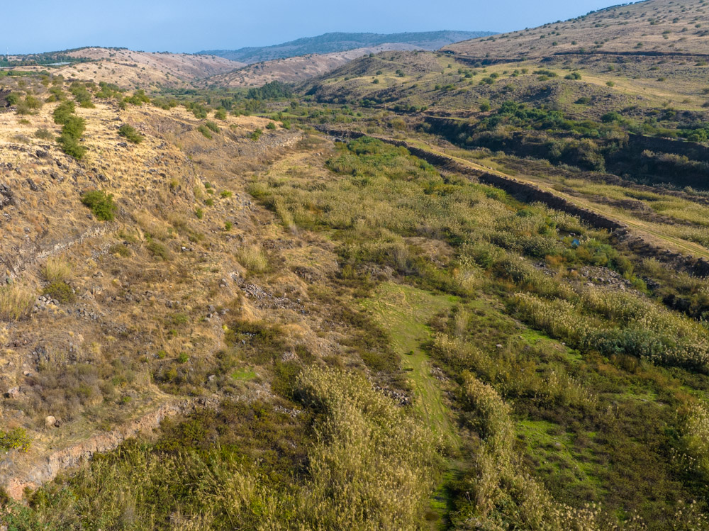
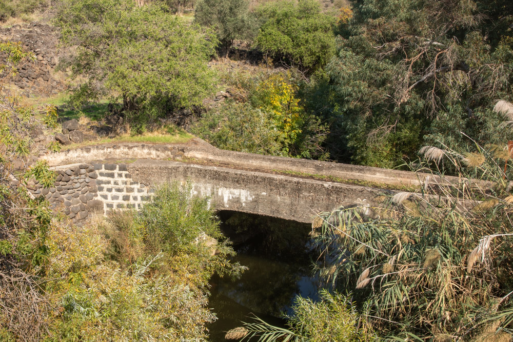
View southeast: One of the many streams that feed into the Jordan River from the Golan Heights. See also the bottom photo on page 206.
View east: The northern shore of the Sea of Galilee (center left), looking toward Tabgha (see “Tabgha” on page 223 and “Capernaum” on page 235).
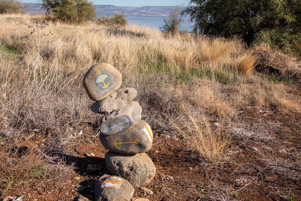
View east: This cairn marks “the gospel trail” through the Plain of Gennesaret. A cairn is a human-made pile of stones put up to mark a path and give direction.
 I post updates to this website on my personal