The maps will enlarge to 1600 pixels.

View north: Both maps represent the New Testament setting for Cana of Galilee. Kefar Kanna north of Nazareth is the traditional site of Cana, but Khirbet Qana in the Bet Netofa Valley is the more likely site. The reasons are laid out in a very interesting article entitled “Searching for Cana Where Jesus Turned Water into Wine” by Tim McCollough.
Khirbet Qana is nine miles northwest of Nazareth and five miles north of Sepphoris, one of the capital cities of Galilee in antiquity. It was located on “an important junction of Roman roads connecting Tarichaea on the Sea of Galilee with Ptolemais (Akko) on the Mediterranean coast” (see article above). Many scholars identify Tarichaea with biblical Magdala, located below Mount Arbel on the Sea of Galilee. An interesting article on the location of Magdala is entitled “Magdala’s Mistaken Identify” by Joan E. Taylor in Biblical Archaeology Review (Fall 2022). It is a recent issue so you will have to be a member of BAR to read it.
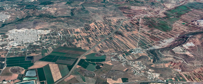
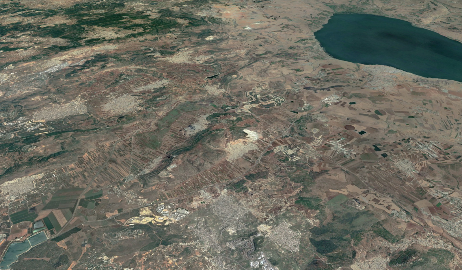
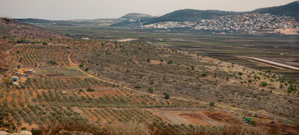
View west (aerial): The Bet Netofa Valley with Kefar Manda (center) and Khirbet Qana (center right) in the shadows just below the first mountain peak (center right).

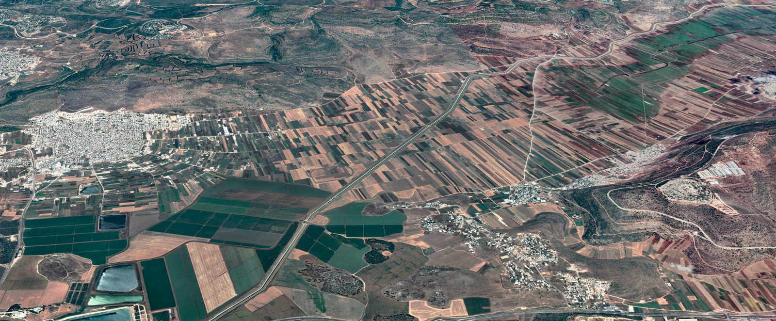
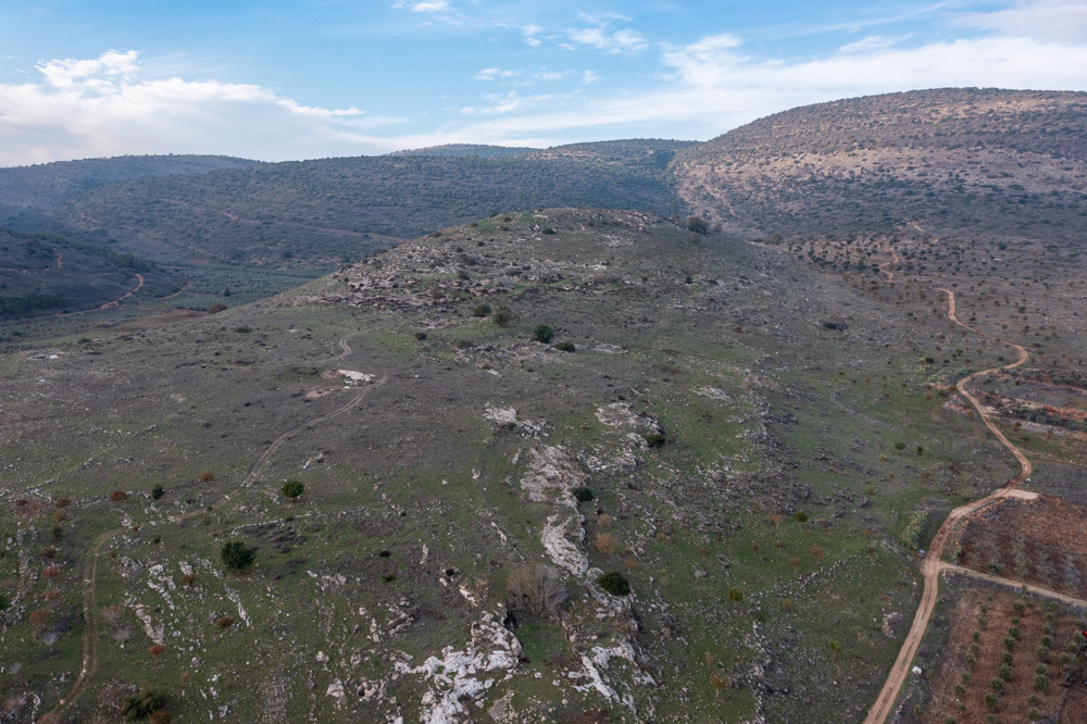
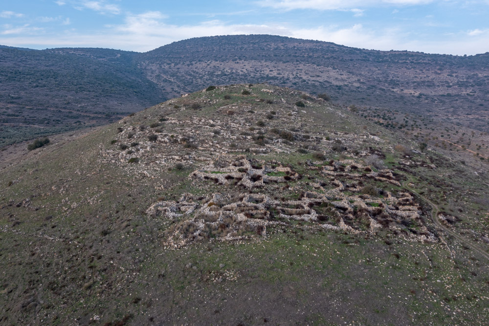
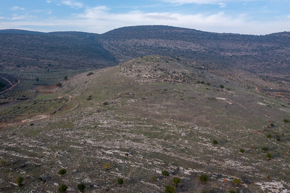
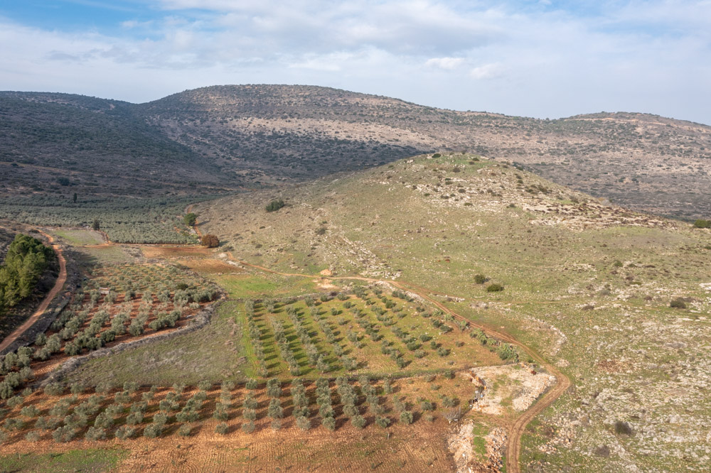
View south (aerial): The Bet Netofa Valley from directly above Khirbet Qana. The three photos below are details of site. The Turan Valley merges with the Bet Netofa Valley at the western end of the mountain (center) that divides them (see the satellite map).
View northwest: Khirbet Qana.

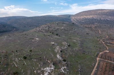
View north: Khirbet Qana.

View northeast: Khirbet Qana.
View northeast to southeast (2:16 min): The video pans away from Khirbet Qana toward the eastern end of the Bet Netofa Valley. You will hear the story of Jesus turning water into wine from the King James Version of the Bible.
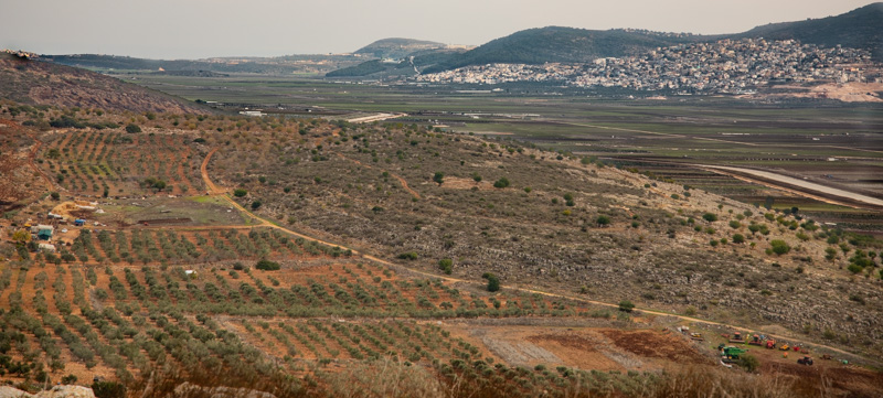
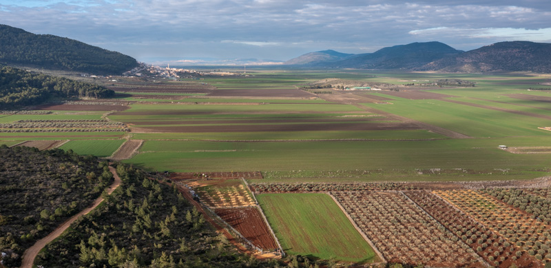
View east (aerial), looking out over the eastern end of the valley from a spot directly above the site.
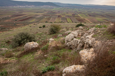
View southwest: The western end of the valley from the eastern side of Khirbet Qana.
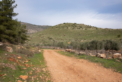
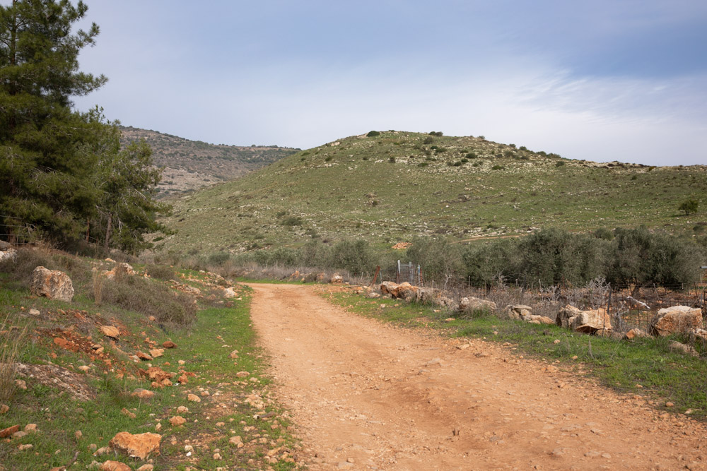
View east, toward looking Khirbet Qana (center mound) from the road that leads to Kefar Manda.
View northwest (0:55 sec): This video pans across the southern face of Khirbet Qana.

View north (aerial): The west side of Khirbet Qana (center right) where the road begins to Sepphoris.
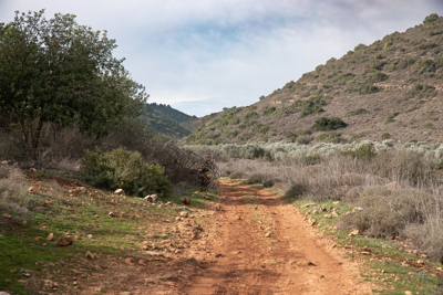
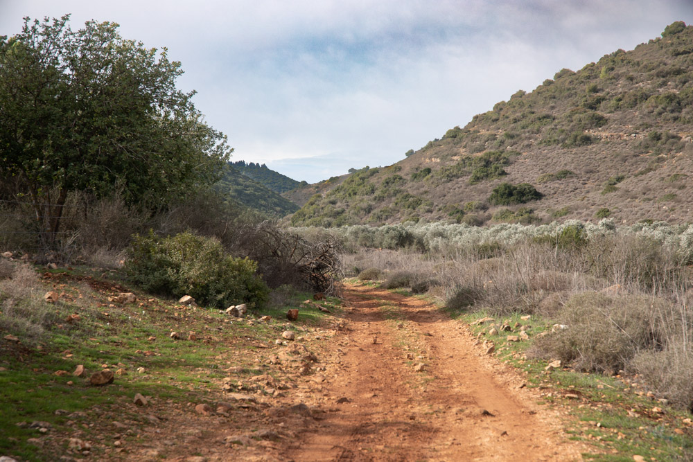
View northwest: The road to Jotapata through the canyon west of Khirbet Qana.

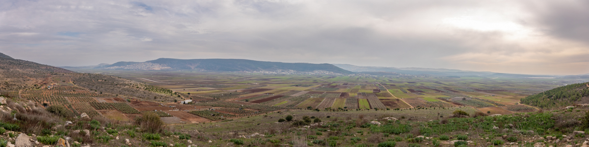
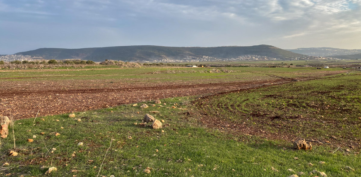
View south: The Bet Netofa Valley a short distance west of Khirbet Cana after the sun finally broke through the clouds (mentioned in video below).
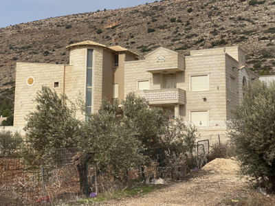
Kefar Manda is an Arab town in Lower Galilee, 10 miles northwest of Nazareth and, from the eastern edge of town, about two miles west of Khirbet Qana. The town’s last bus stop is the closest point to Khirbet Qana if you’re walking to the site. The Midrash and Talmud mention Kefar Manda as a Jewish town in classical antiquity (300 to 500 AD).
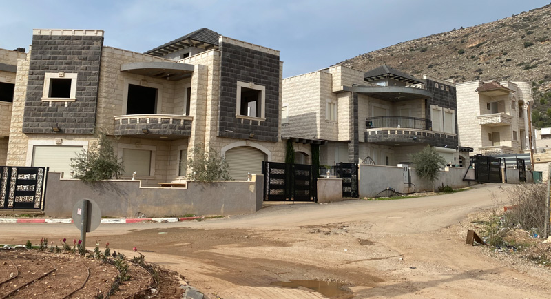
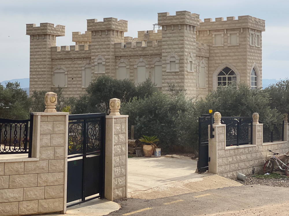
These beautiful homes are on the edge of town as you leave Kefar Manda for Khirbet Qana.