(Sea of Galilee Region)
“In Lower Galilee I fortified…the villages of the Cave of Arbela.”
Flavius Josephus
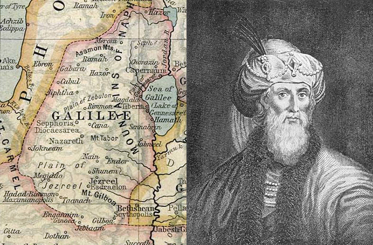
Map of Galilee before the First Jewish–Roman War (66 AD–73 AD), and the area of Josephus’s governorship at the outbreak of the war. The picture is from the engraving of Josephus in William Whiston’s translation of the historian’s works.
Flavius Josephus (37 AD–100 AD) was a first-century Jewish historian and military leader, born only a few years after the crucifixion of Jesus Christ. He wrote the Jewish War, which describes in some detail the Roman conquest of Palestine in the First Jewish-Roman War (66 AD–73 AD).
Josephus is credited with two major works: The Jewish Wars and Antiquities of the Jews. It’s of interest to Christians that Josephus mentions Jesus Christ twice and John the Baptist once in Antiquities of the Jews. The first mention of Jesus is disputed by scholars as a later Christian interpolation. The second mention and the reference to John the Baptist are considered authentic.
First: “Jesus was the Messiah and a wise teacher who was crucified by Pontius Pilate.”; Second: “The brother of Jesus, who was called Christ, whose name was James”; John the Baptist: “The imprisonment and death of John the Baptist by order of Herod Antipas, the ruler of Galilee and Perea.”
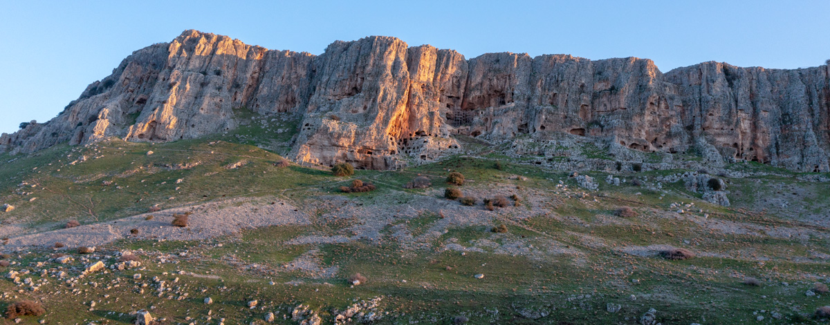
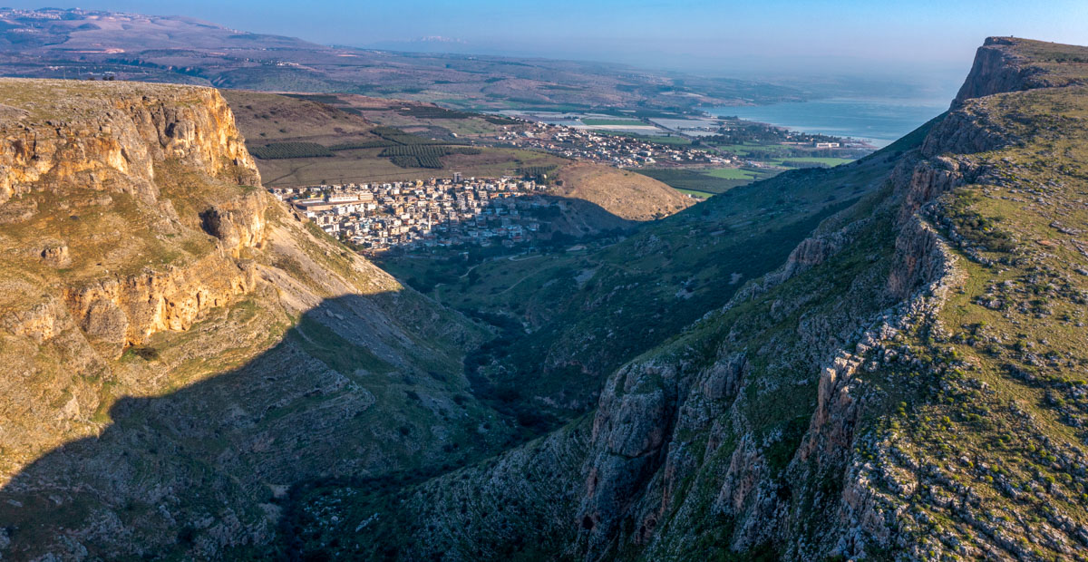
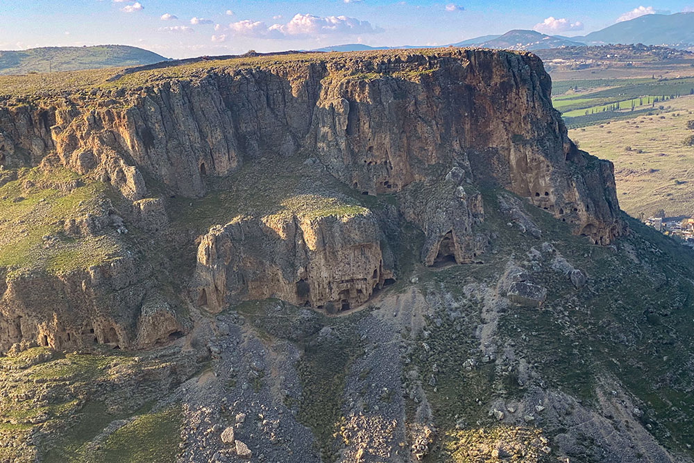
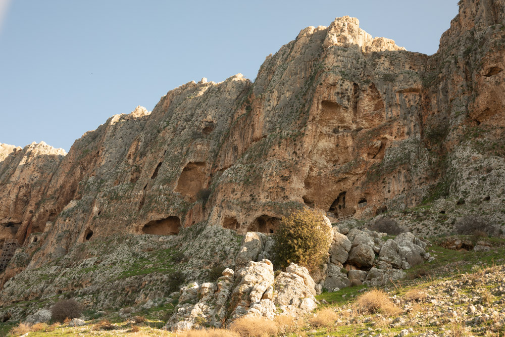
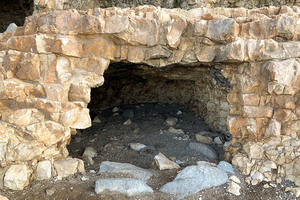
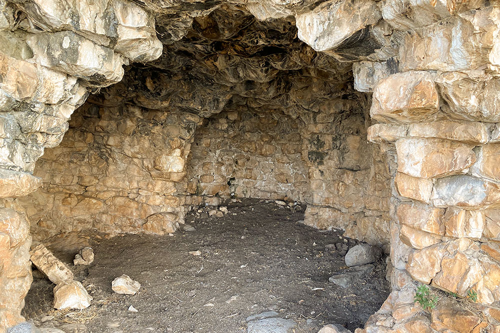
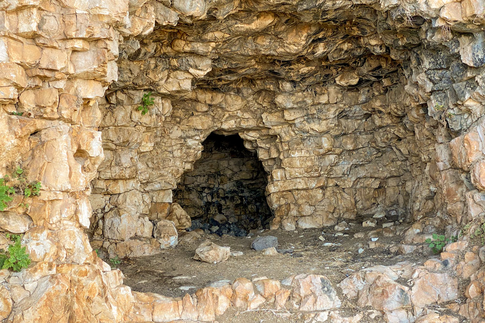
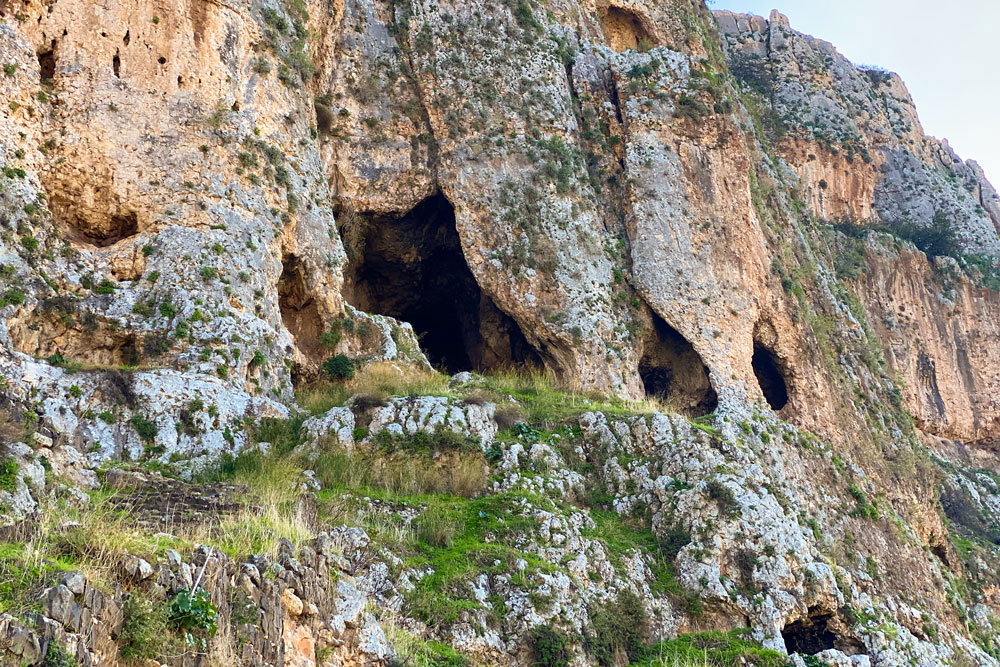
View South: Mount Arbel with Caves. The photo was taken from Wadi Hamam.
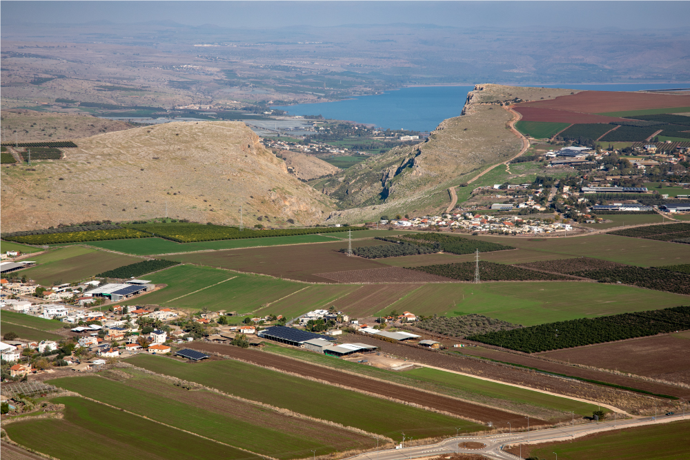
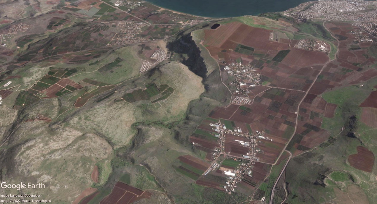
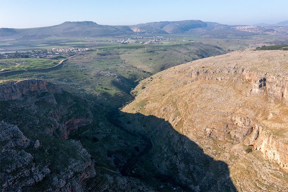
View East (aerial): Mt. Nitai (left center); Wadi Hamam (center); Sea of Galilee; Mount Arbel (right).
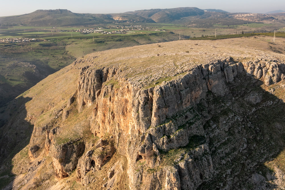
View Northwest (aerial): Mount Nitai with view of Lower and Upper Galilee in the background.
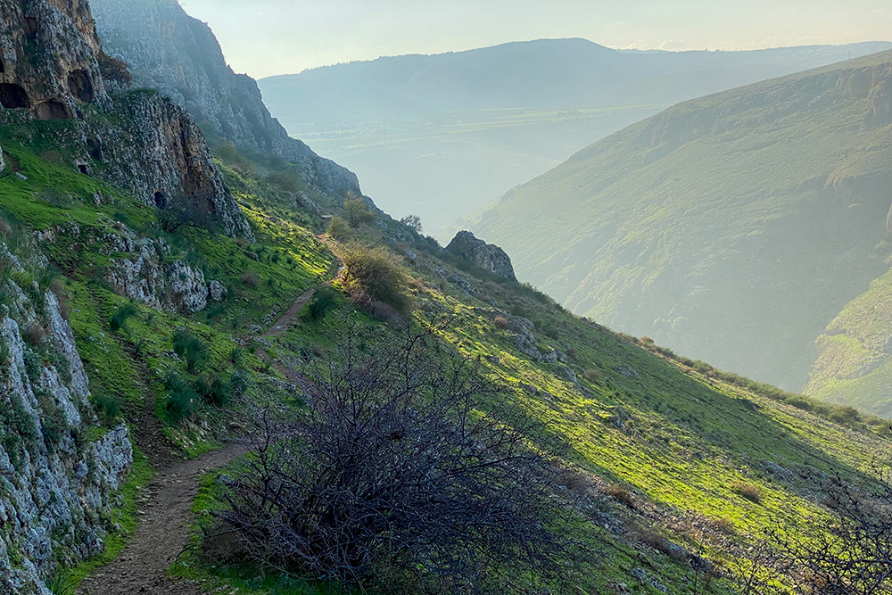
View West: Wadi Hamam from north-side trail leading to the top of Mount Arbel.
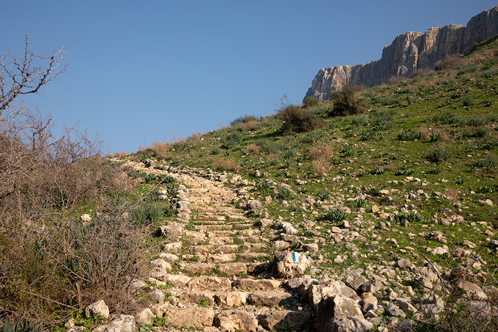
View East: North-side trail leading to the top of Mount Arbel (top right).
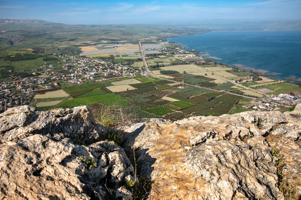
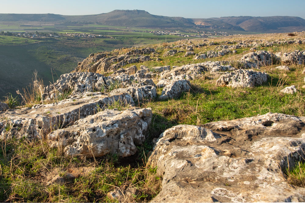
View North: Top of Mount Arbel looking across the Plain of Gennesaret.
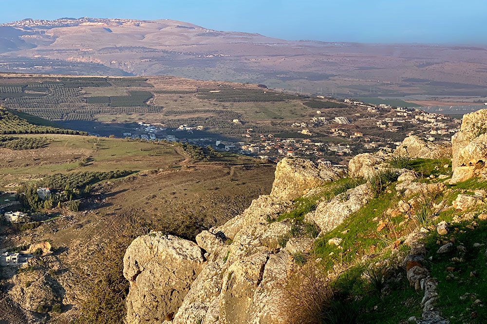
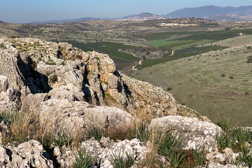
View North: Top of Mount Arbel looking toward Zefat (top left).
View West (aerial): Mount Nitai with Horns of Hattin (top left).
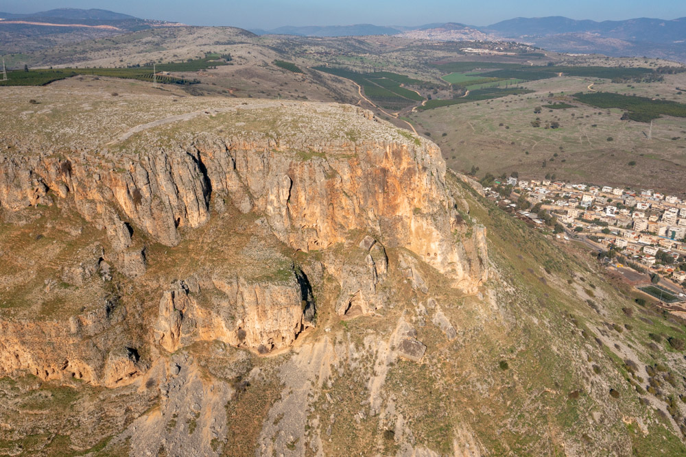
View North (aerial): Mount Nitai with Zefat (top left).
View West: Looking across top of Mount Nitai with Horns of Hattin (top).
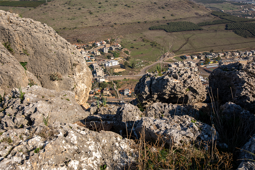
View North: Looking down on the town of Hamam from Mount Nitai.
View Northwest: Top of Mount Nitai with Kibbutz Ravid (top - established 1994).
View West (aerial): Mount Nitai (right) with Wadi Hamam (center) and Horns of Hattin (top left).
The video swings around from Capernaum toward Mount Arbel and the Plain of Gennesaret.