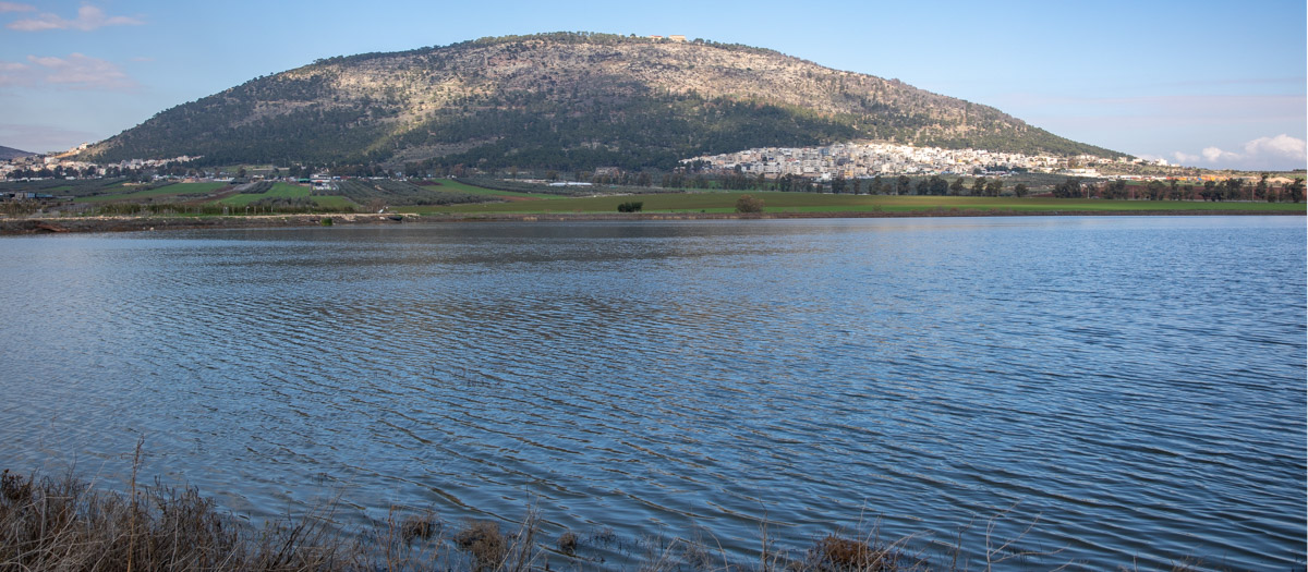
(Jezreel Valley—Northern Israel)
Mount Tabor rises 1,886 feet (575 meters) above its surroundings at the eastern end of the Jezreel Valley, eleven miles west of the Sea of Galilee. It was strategically located on the east-west highway between the coast of Palestine and Damascus.
In the Bible, Mount Tabor is mentioned in the border description of three Israelite tribes: Zebulun, Issachar, and Naphtali (see Joshua 19:22 KJV, NASB, NIV, ESV).
The biblical site of Hazor was the seat of Jabin, king of Canaan, who “oppressed the children of Israel” for twenty years. Sisera was the commander of Jabin’s army. Barak, from the tribe of Naphtali, was the commander of the Israelite army. Deborah, the prophetess who “judged Israel at that time,” gave Barak these instructions: “Hath not the Lord God of Israel commanded, saying, Go and draw toward mount Tabor, and take with thee ten thousand men of the children of Naphtali and of the children of Zebulun?” On the day of the battle, “Barak went down from mount Tabor, and ten thousand men after him.” They attacked, pursued, and defeated the Canaanite army in the valley below (see Judges 4 KJV, NASB, NIV, ESV).
Mount Tabor is also called the Mount of Transfiguration because of its connection with the transfiguration of Jesus. In the Synoptic Gospels, Jesus and 3 of His apostles, Peter, James, and John, went up on the mountain to pray. Moses and Elijah appeared to them, and they heard the voice of the Father declare: “This is my beloved Son, in whom I am well pleased; hear ye him” (see Matthew 17:1-7 KJV, NASB, NIV, ESV).
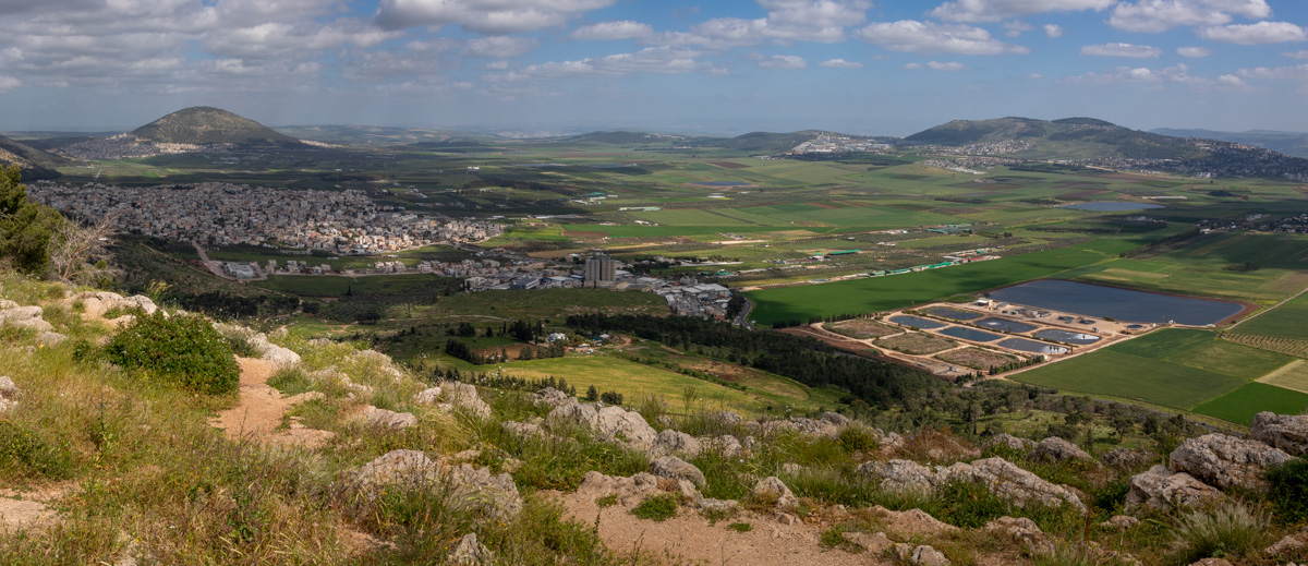
View east, looking toward Mount Tabor (upper left), Jezreel Valley (center), and Mount Moreh (upper right). The photo was taken from Mount Precipice on the Nazareth southern rim.
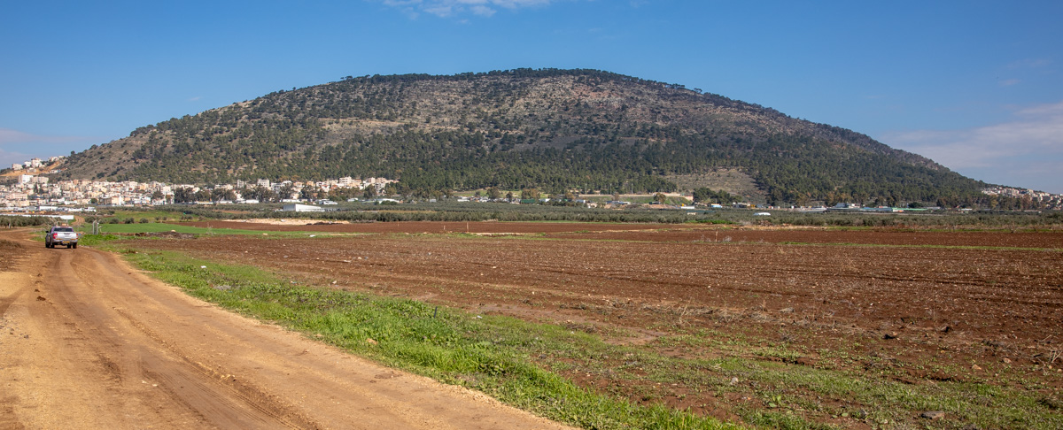
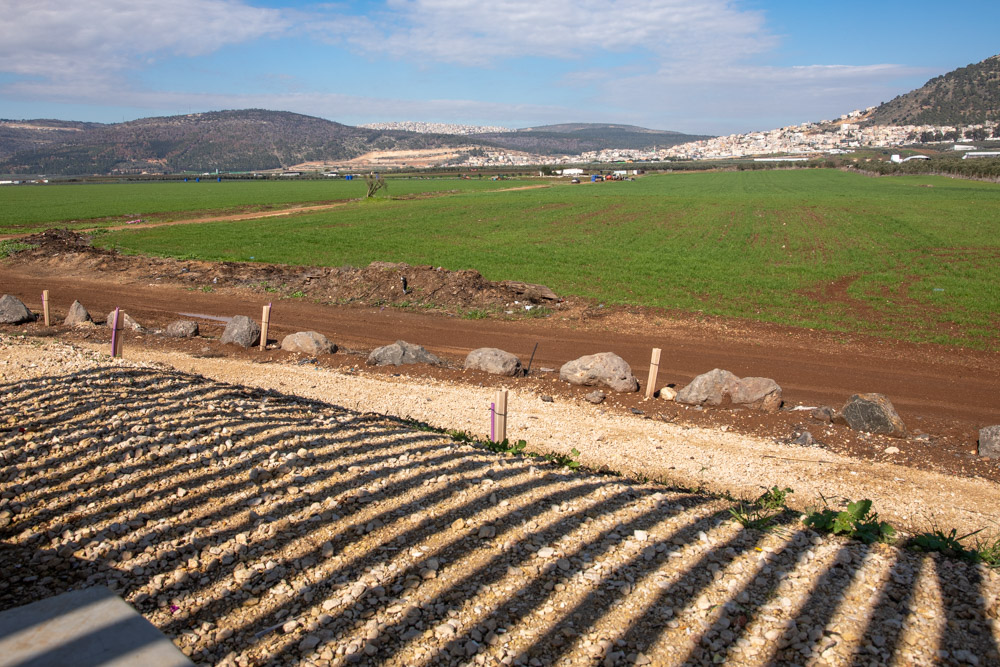
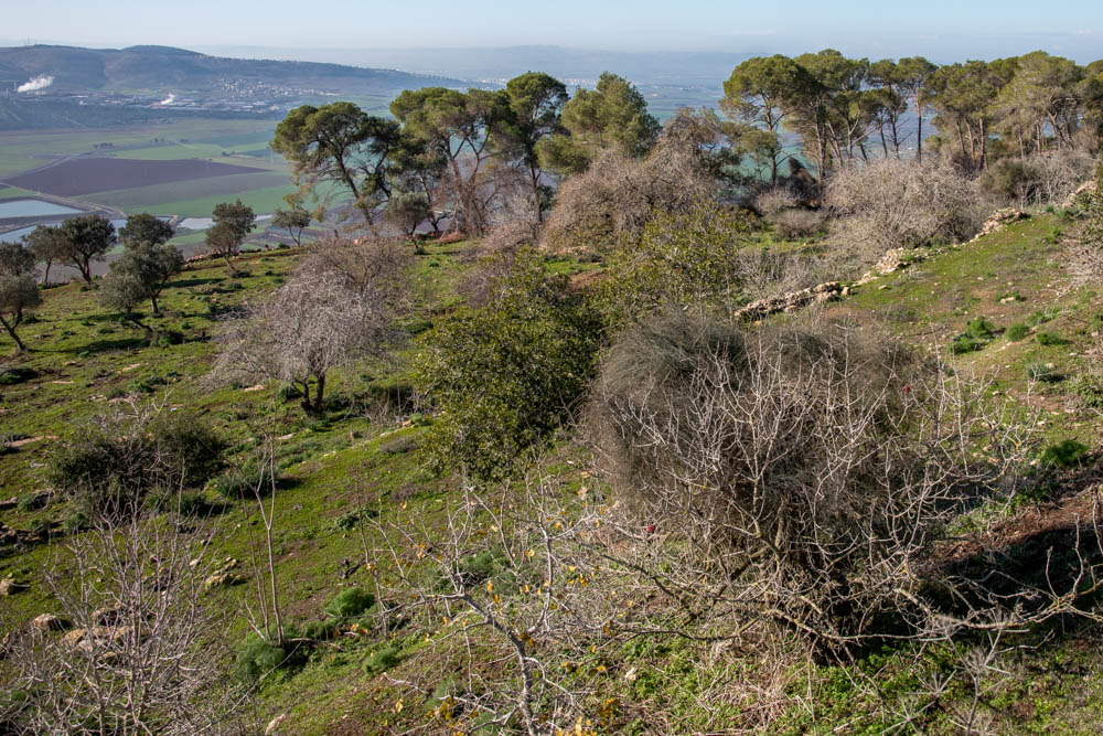
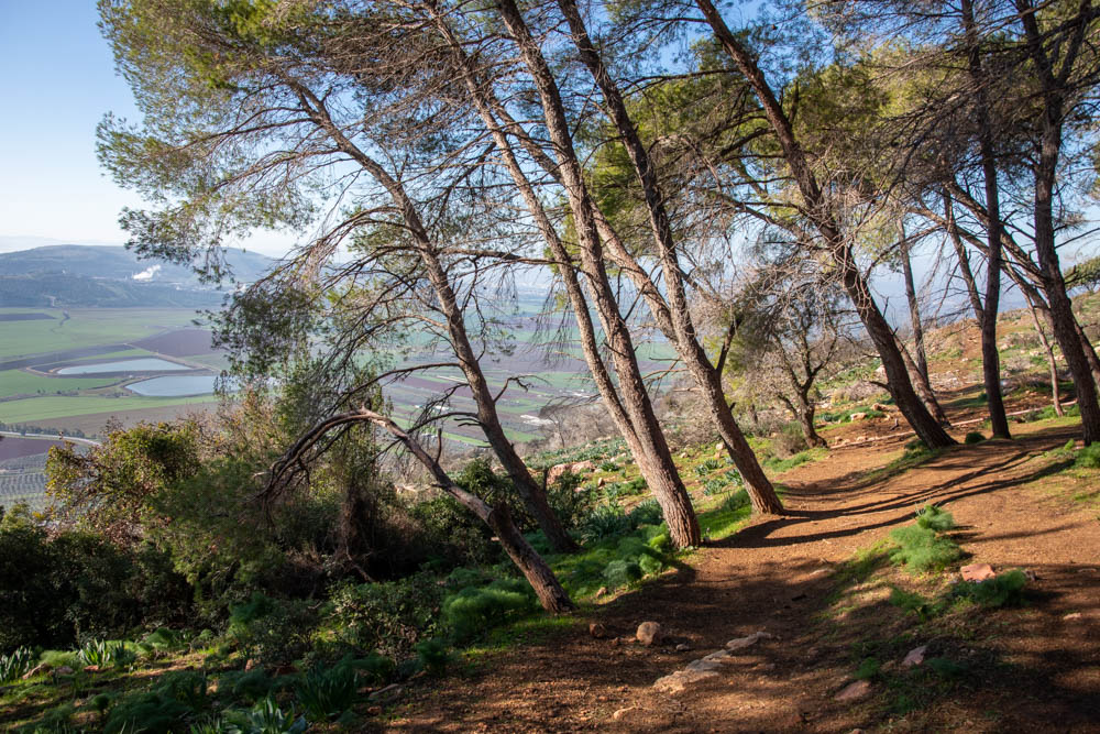
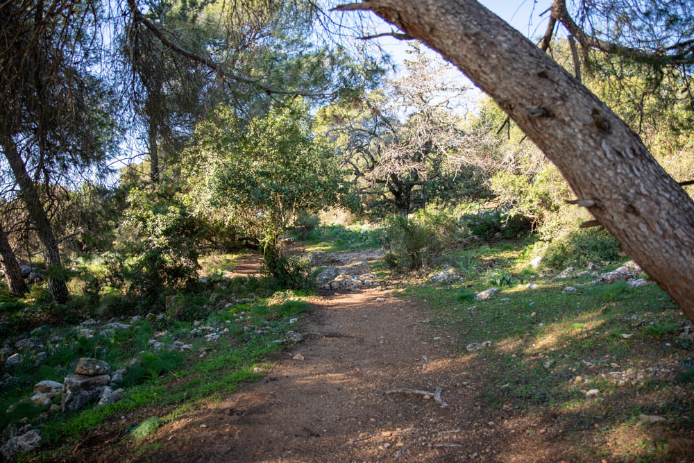
View north: South side of Mount Tabor from the fields in the next three photos.
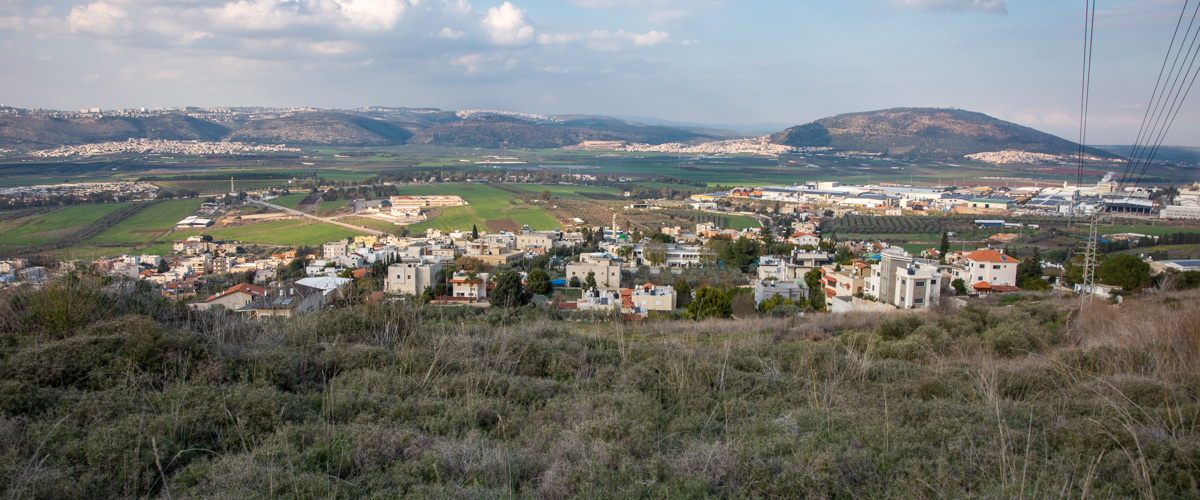
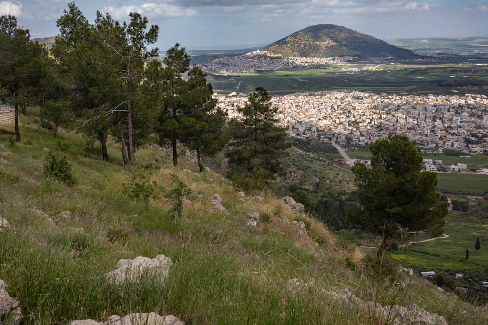
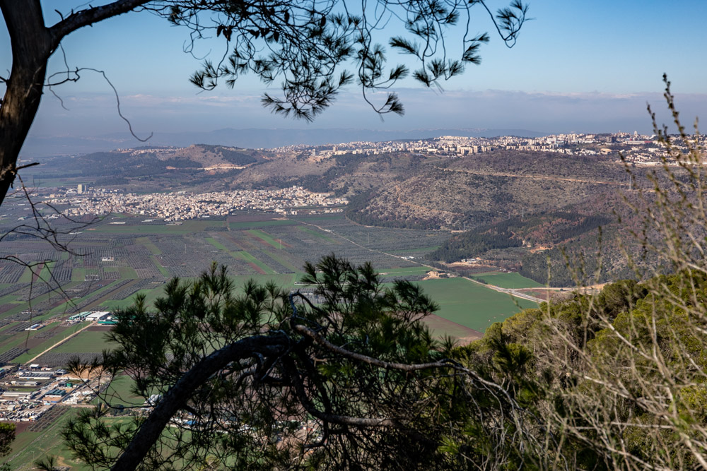
View north, looking toward Nazareth and Mount Precipice (upper left), the Jezreel Valley (center), and Mount Tabor (upper right). The photo was taken from the hill above the modern Arab town of Nein, or biblical Nain where Jesus raised the widow’s son from the dead (see Luke 7:11-17 KJV, NASB, NIV, ESV).
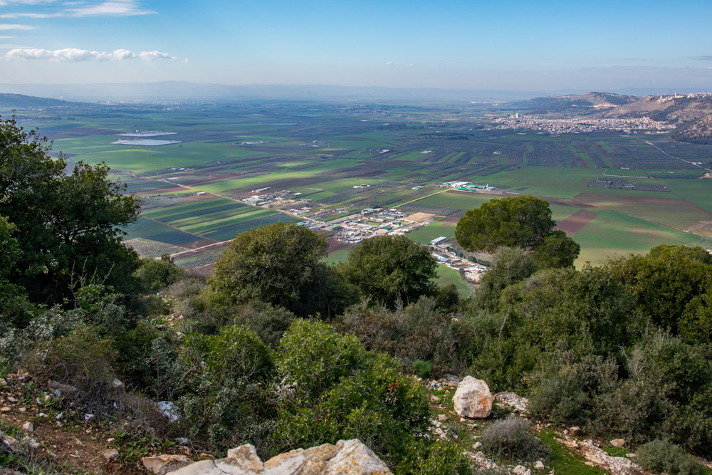
View southwest, looking out over the Jezreel Valley from Mount Tabor with Mount Moreh (slope, top left), Mount Carmel (background right), and Nazareth (top right).
View east, looking toward Mount Tabor (top right) from Mount Precipice on the southern Nazareth rim. See Roberts painting in the next picture.
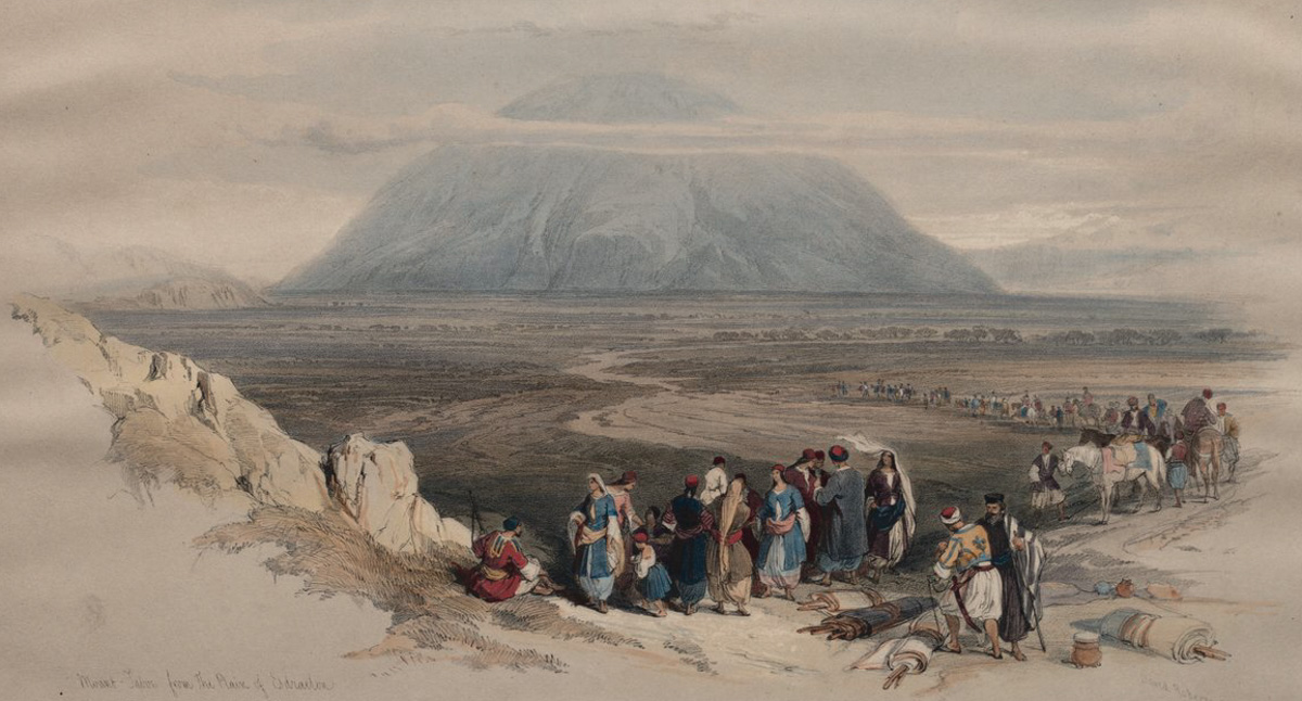
View east: Mount Tabor by David Roberts in 1839. Compare Robert’s painting with the previous photo. It appears he might have been painting from approximately the same location. In the photo, the eastern rim of the Nazareth hills is visible behind the trees (upper left). Compare it with the same spot on the painting.
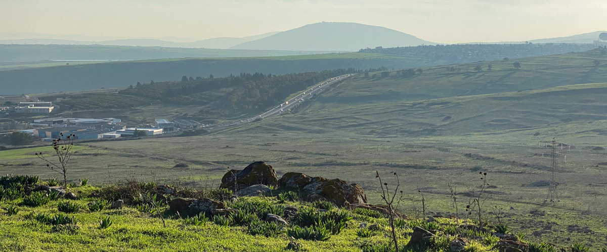
View south, looking toward Mount Tabor (top center) from the Horns of Hattin.
View south, looking toward Mount Tabor (center left) from the field below the Horns of Hattin.
View west: This photo was taken from the top of Mount Tabor, looking toward Nazareth. Mount Precipice is also visible (center left).
View south: This photo was taken from the south-side steps of the Franciscan church, looking toward Mount Moreh (top center) and Mount Gilboa (top left).
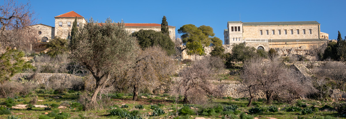
View north: Franciscan monastery complex (left) and the Transfiguration church (right).
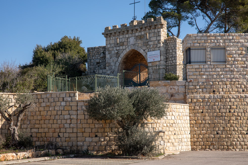
View northeast: Entrance to the Franciscan church grounds (monastery and church).
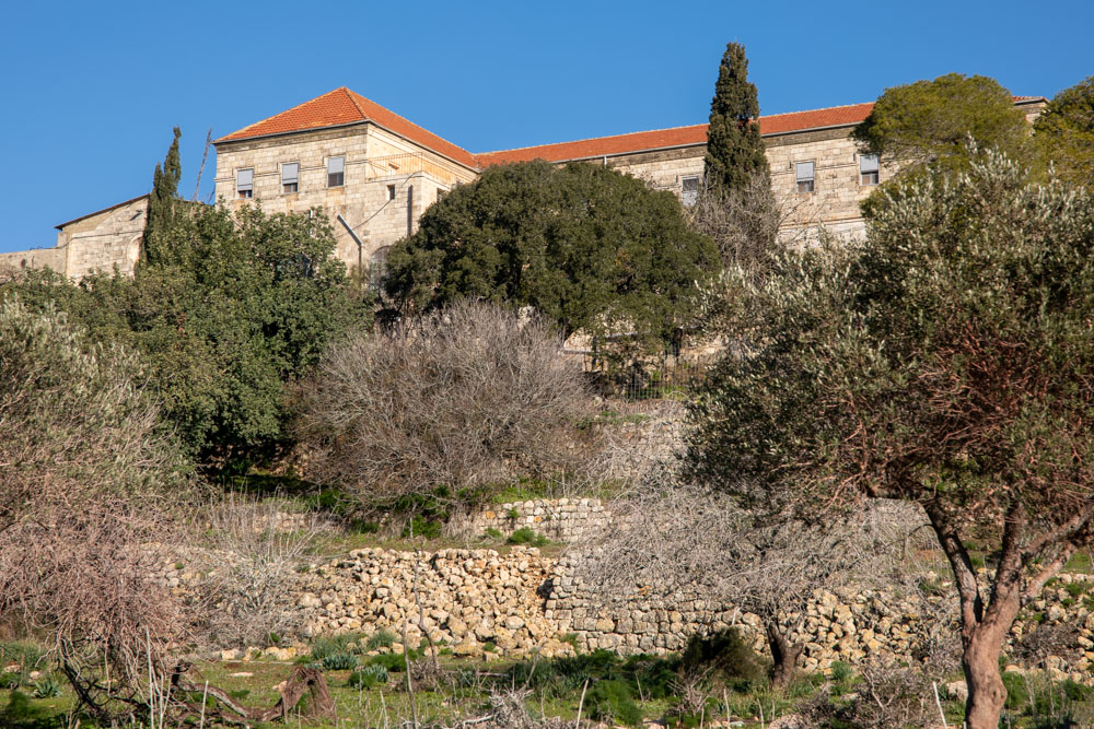
View northwest: Franciscan monastery complex west of the church.
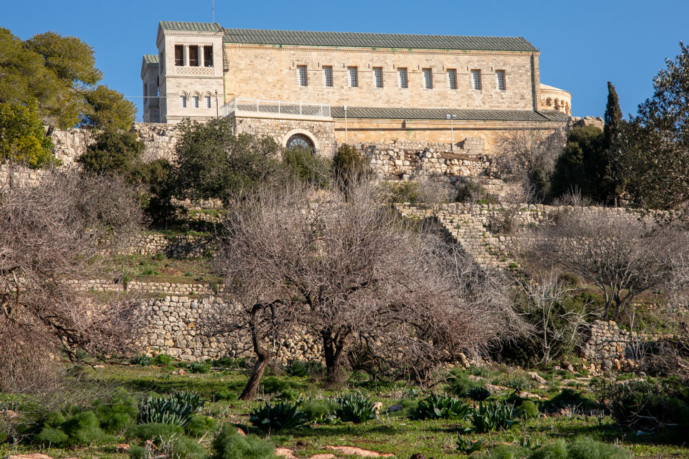
View north: Franciscan Church of the Transfiguration.
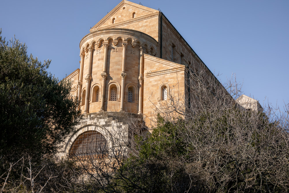
View west: East end of the Franciscan church.
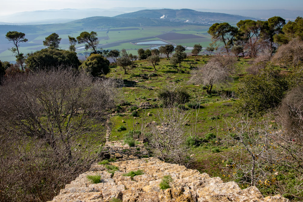
View southwest: South-side grounds of Mount Tabor below the Franciscan church.
View south, looking across Mount Tabor toward Mount Moreh (top left) from below the Franciscan church.
View southwest: Path leading around the south side of the Franciscan church with Mount Moreh in the background.
View west: The continuation of the path that leads to the east end of the Franciscan church.
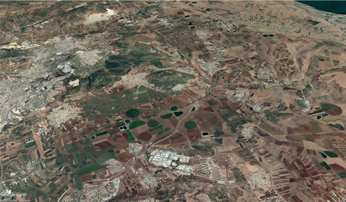
View north: The Franciscan Transfiguration church is visible on top of Mount Tabor (center right). The location of the reservoir is visible on the satellite map. It is above the final e in “Jezreel Valley.”
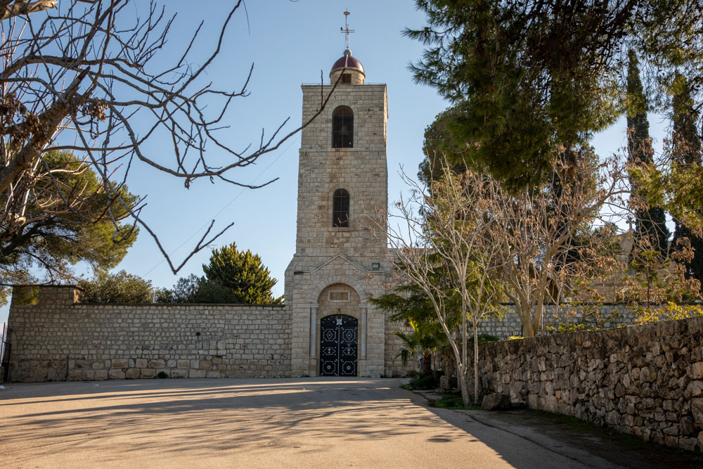
View east: The Greek Orthodox monastery on Mount Tabor, north of the Franciscan church.
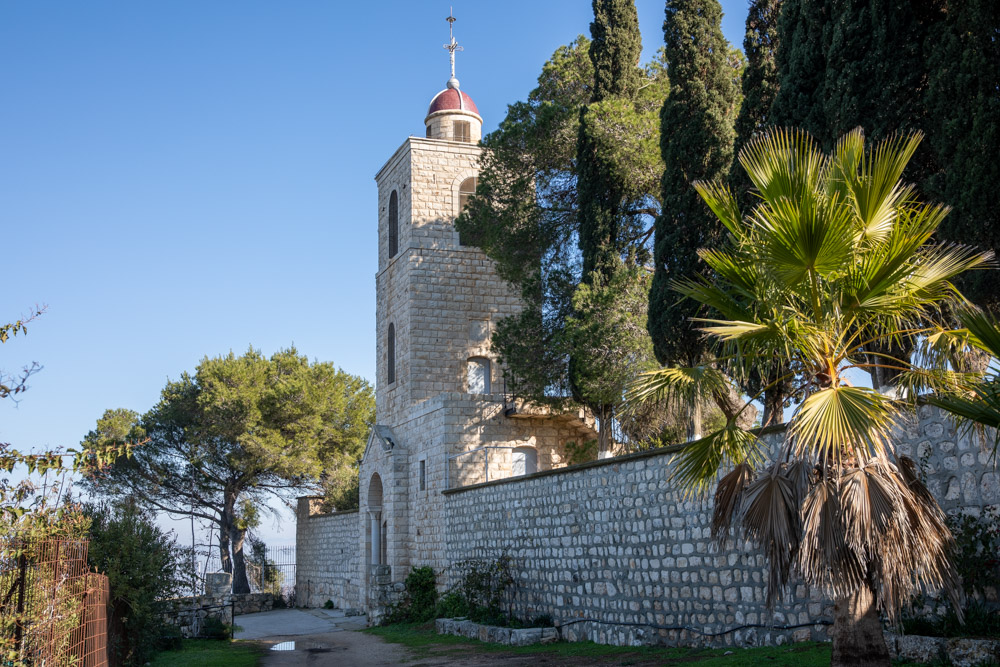
View north: The monastery is also dedicated to the transfiguration but not open to the public.
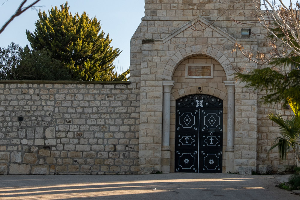
View east: Entrance to the monastery detail. A translation of the sign above the entrance appears in the next photo.
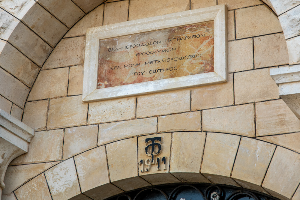
“Greek Orthodox Patriarchate of Jerusalem—Abbey of the Savior’s Mount of Metamorphosis” (transfiguration).
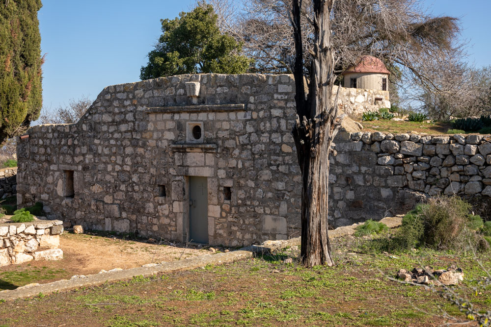
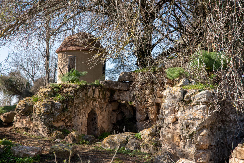
View northeast: The chapel is called the “Cave of Melchizedek” based on the Greek tradition that Abraham met Melchizedek on Mount Tabor after the battles of the kings (see Genesis 14 KJV, NASB, NIV, ESV).
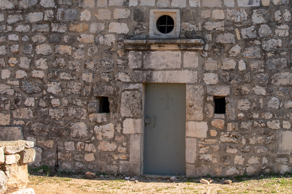
Detail of the entrance to the cave. The cave is visible through the small windows on either side of the door. Another tradition holds that Melchizedek lived in the cave as a hermit for several years.
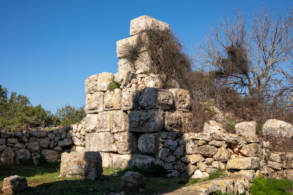
View southwest: Backside of the church or “Cave of Melchizedek.”
View northwest: The Byzantine tower in the courtyard of the church to the left of the entrance.
p