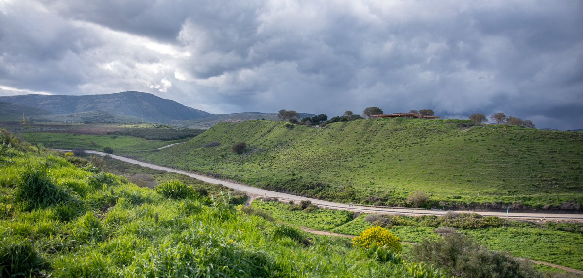
(Hula Valley—Northern Israel)
Hazor was a large Canaanite and Israelite city 9 miles (14 km) north of the Sea of Galilee in the Hula Valley. The site consists of a southern mound (see Landscape Views below) and the lower part of the city just north of the mound. Together they cover about 200 acres, making Hazor the largest tell (mound or ancient site) in Israel. By comparison, Megiddo on the southern edge of the Jezreel valley, another large and important site, covers 40 acres.
Execration Texts and other early Egyptian documents mention Hazor. The Execration Texts dating to the 20th and 19th centuries BC (period of the Patriarchs) provide valuable information about Palestine in that period. Hazor also appears in the Mari archives as a major trade center for merchant caravans traveling to and from Babylon, and as the destination of diplomatic emissaries.
The Bible mentions Hazor in connection with the Israelite conquest of northern Canaan (Joshua 11:10-13 KJV, NASB, NIV, ESV). It also appears in the story of Deborah and Barak (Judges 4:2 KJV, NASB, NIV, ESV) and again as one of King Solomon's fortified cities (1 Kings 9:15 KJV, NASB, NIV, ESV). Tiglath-Pileser III, king of Assyria, conquered Hazor in 732 BC (2 Kings 15:19 KJV, NASB, NIV, ESV).
One of the most exciting discoveries at Hazor was the city’s water supply system, which dates to King Ahab of Israel or the 9th century BC (see Water System below).
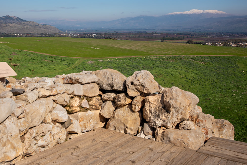
View north: You can see the Israelite citadel on top of the tel (left center) and the roof over the Canaanite palace (right center). In the middle of the photo to the right of the palace and above it you can make out the snow-capped Mount Hermon below the clouds.
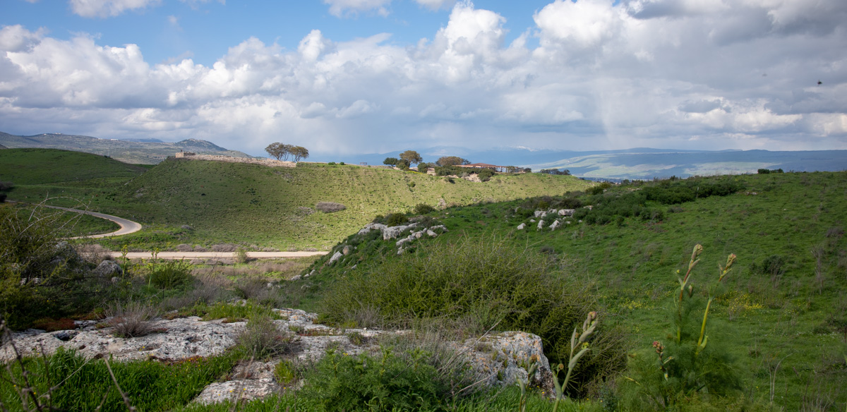
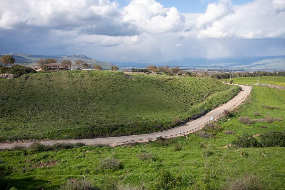
View northwest, looking across the Israelite citadel (center) toward Upper Galilee.
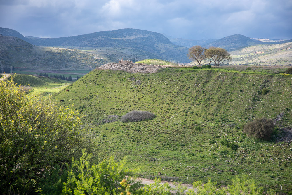
View north, looking across the Canaanite palace (left) with the Hula Valley in the background.
The video pans across Upper Galilee from the northwest to the northeast. Hazor’s commanding view of the Hula Valley comes into view at the end of the video.
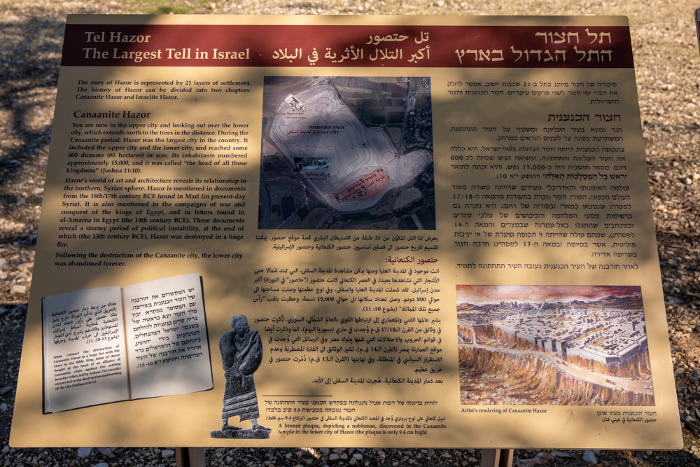
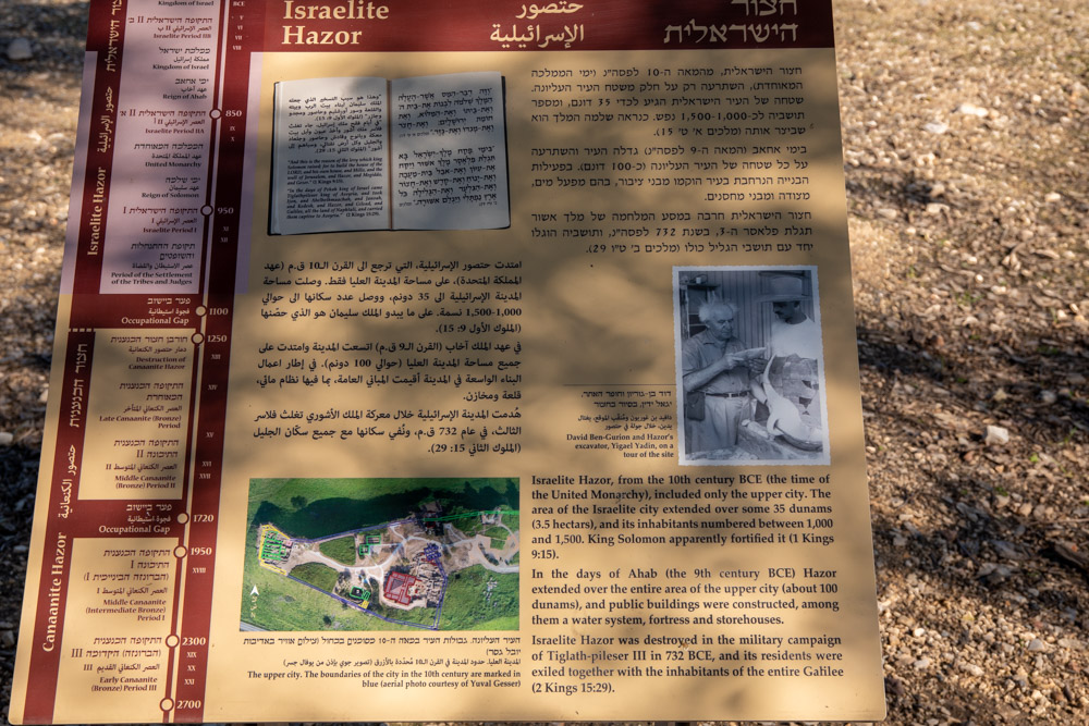
The plaques near the site entrance contain overview information about Hazor. For example, King Solomon’s Hazor (10th century BC) included only the upper part of the city (pictured above and below). The city expanded to the north in the 9th century during King Ahab’s reign.
View west: The upper mound of Tel Hazor represents only one-fourth of the ancient site. In this upper tel photo you can see the roof over the palace of the Canaanite kings (center right).
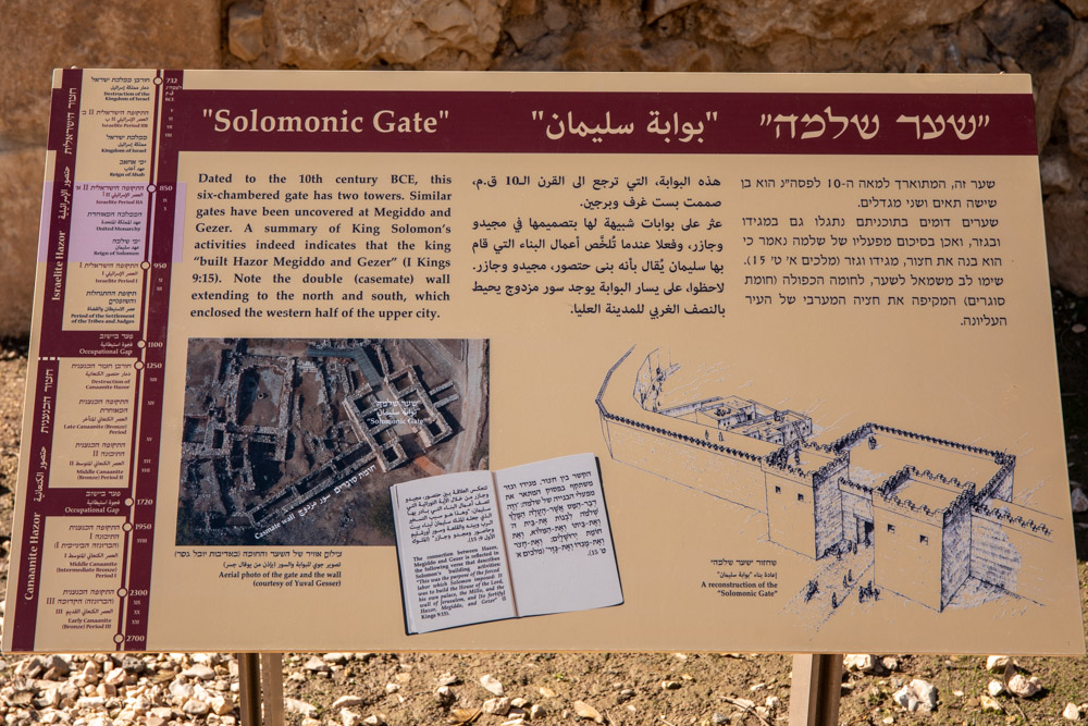
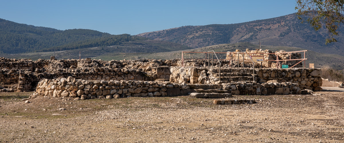
Site plaque: The aerial photo of the gate and double casemate wall is particularly good, especially with the artist’s conception of the gate next to it.
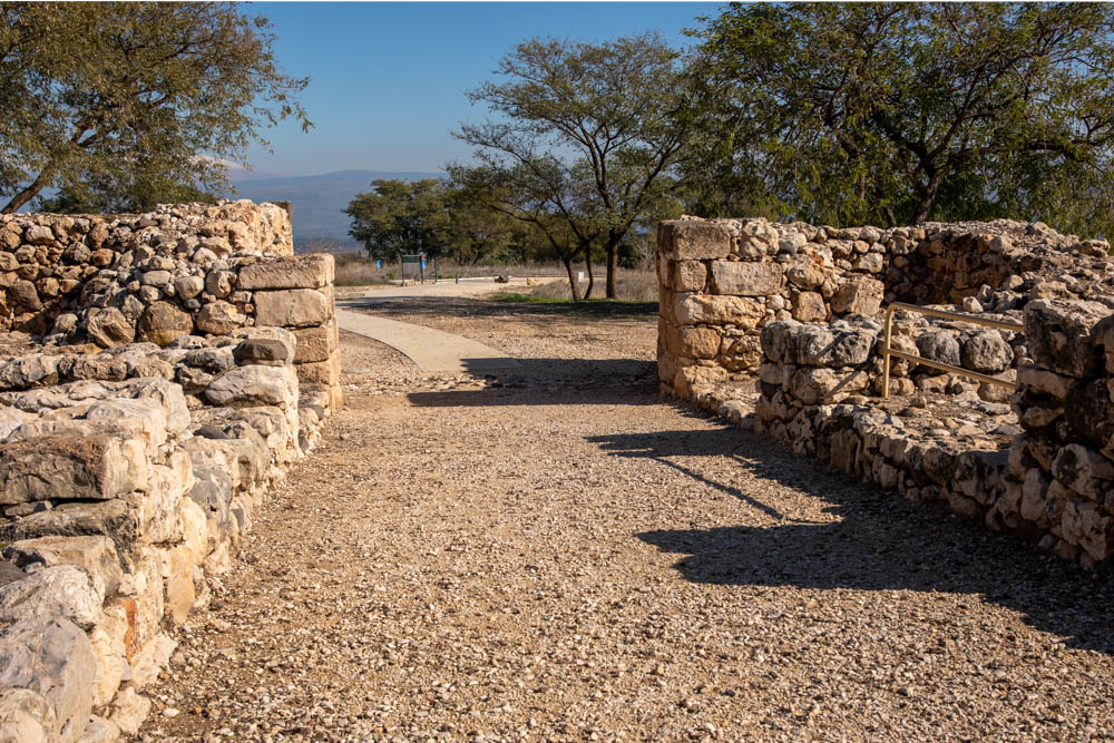
View southwest: Yigael Yadin (Hazor archaeologist) said the gate recalls Solomon’s building activities (see 1 Kings 9:15), and is similar to the gates of Megiddo and Gezer.
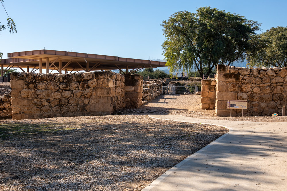
View northeast: Hazor’s six-chambered gate dates to the Israelite period. Similar gates have been found at Megiddo and Lachish. The remains of the Canaanite temple in the next photo are located near the gate.
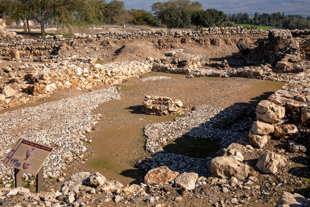
Site plaque: “This Canaanite temple was originally a prominent structure with wide well-constructed walls. Three strata of pebble-paved floors attest to its existence over a long period.”
View west: Only the foundations of the citadel remain on the site today. It was apparently built in the 9th century BC during the reign of King Ahab.
View west, looking across the cultic installation toward the tower. The bamah of the installation dates to the period of the Judges (eleventh century BC).
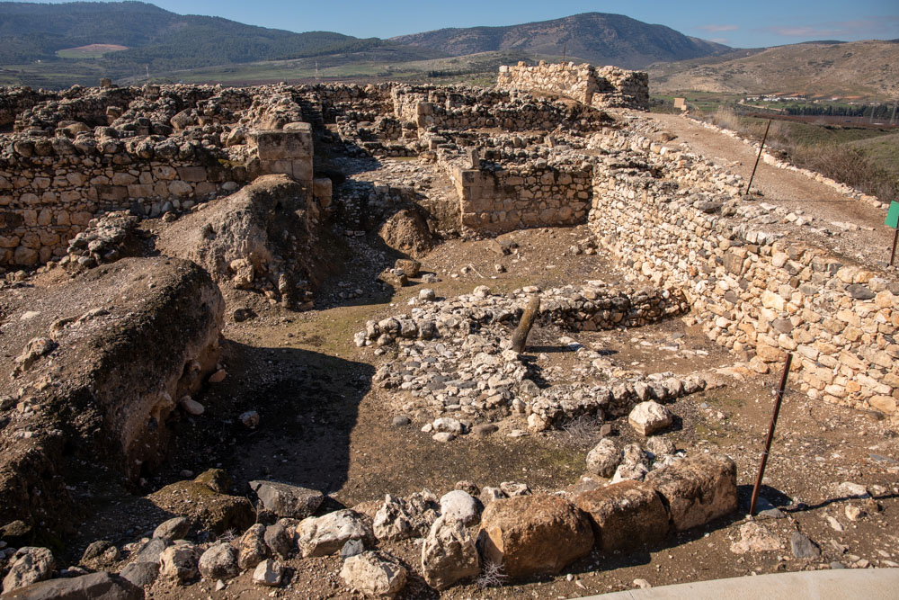
View north: The edge of the upper city looks down on the lower city, settled during the Canaanite period. The photo was taken just below the tower.
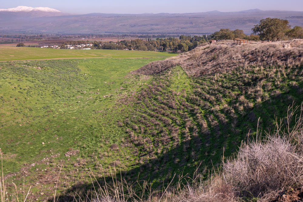
View from the tower overlooking the Hula Valley north. The Assyrians conquered Hazor and “all the land of Naphtali” in 732 BC (see 2 Kings 15:29).
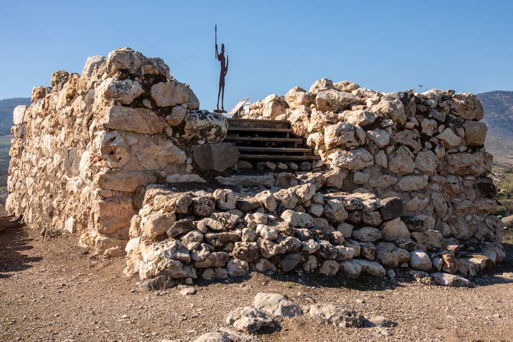
View southwest: The Israelites constructed the tower as part of the city’s defense system against an imminent Assyrian threat.
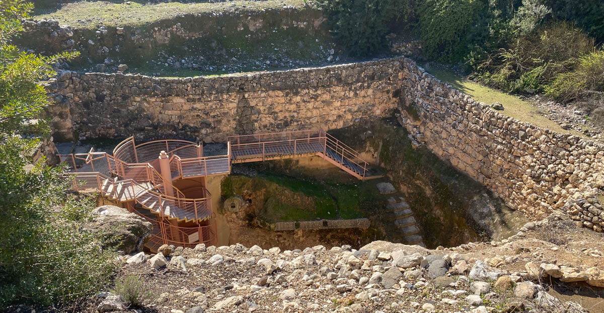
View south: Hazor’s water system was built at the same time as the citadel in the 9th century BC to provide a regular water supply during a time of siege. Pictured here is the access structure leading to the steps of the vertical shaft (middle right) and the modern descent (middle left).
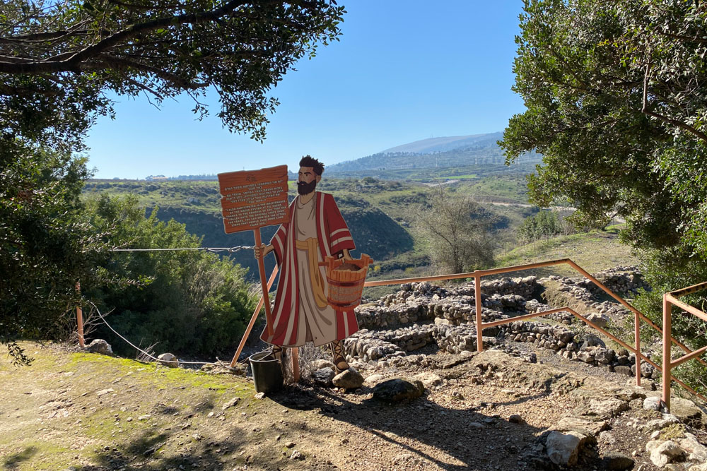
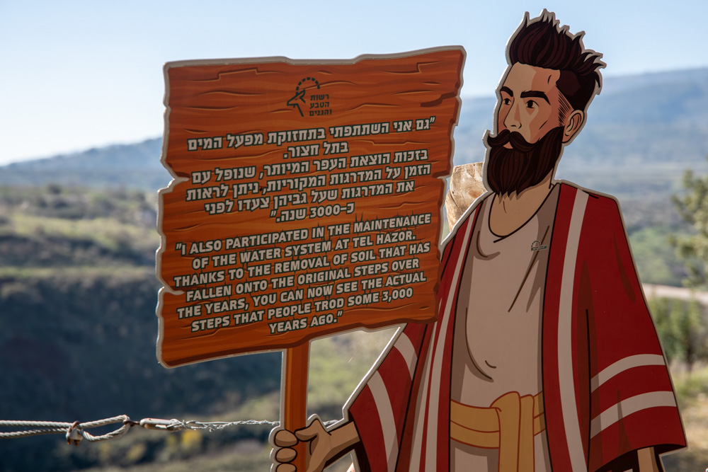
View south: This fellow introduces you to the water system and its original three-thousand-year-old steps.
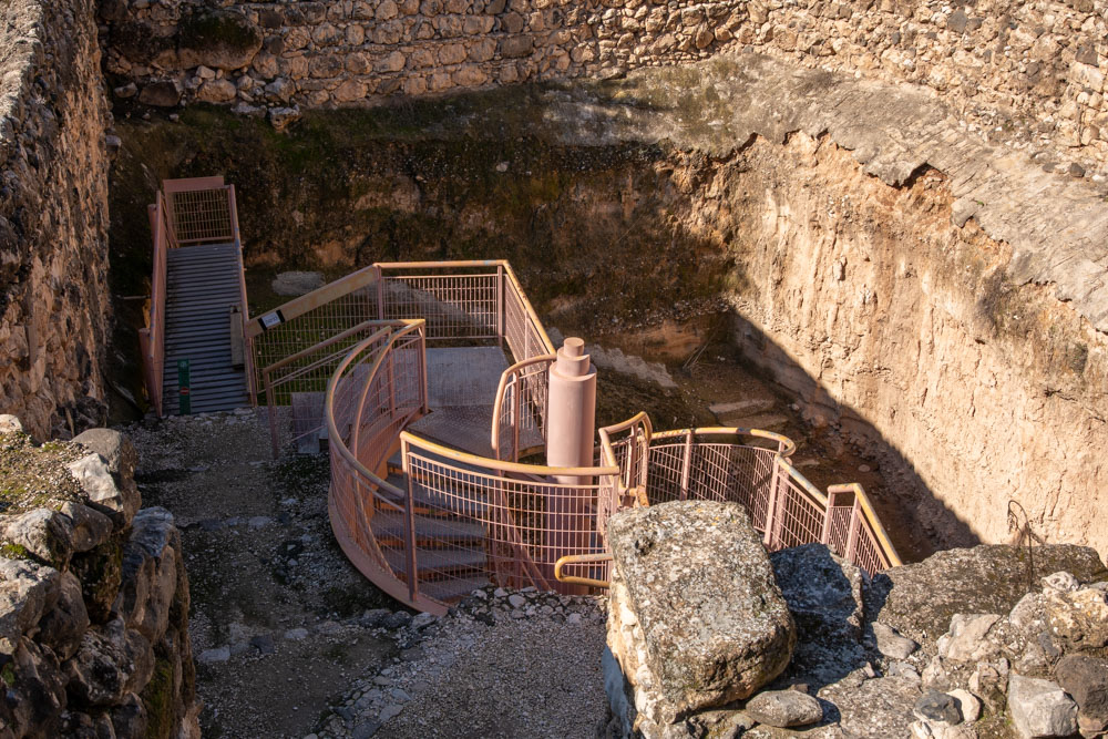
The vertical shaft contains five flights of original steps leading to the sloping tunnel (photos below).
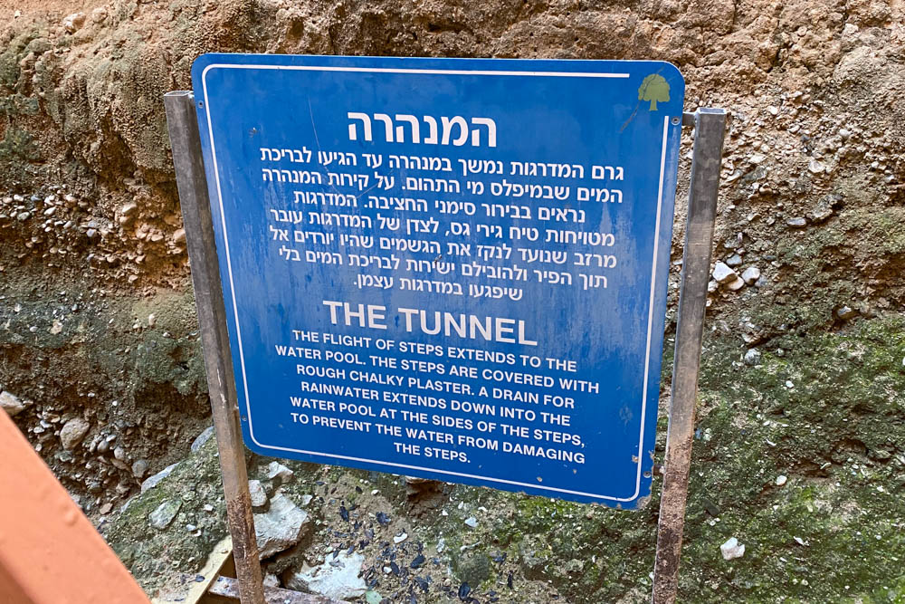
This sign introduces the tunnel and steps in the next two photos.
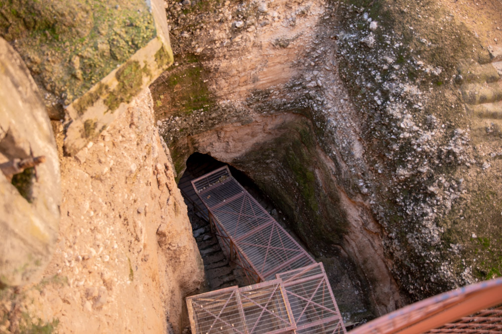
The twenty-five-meter sloping tunnel leads to the cistern. It starts where the vertical shaft ends (photo above).
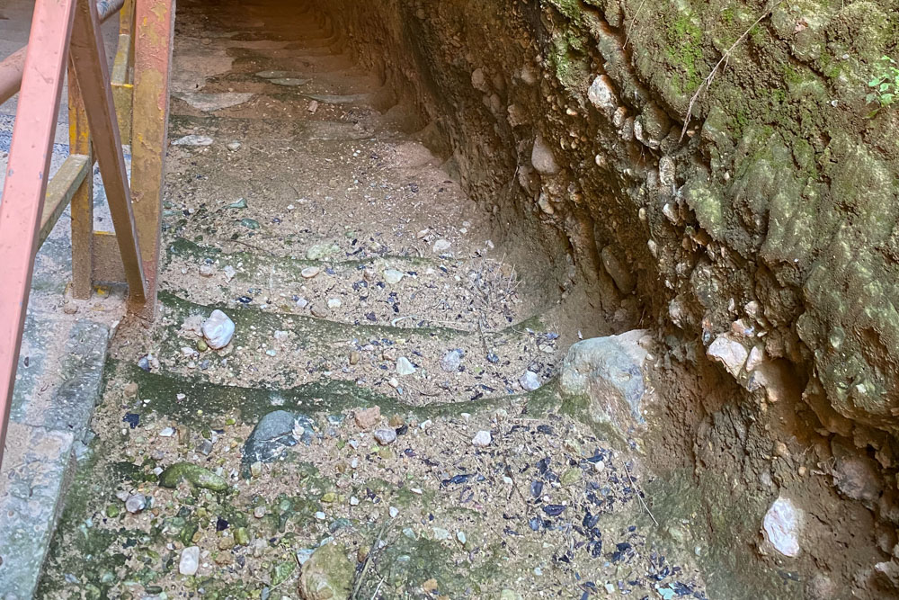
Original steps leading down the tunnel to the cistern at the bottom.
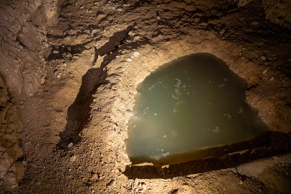
Floor of the cistern at the end of the steps (previous photo).
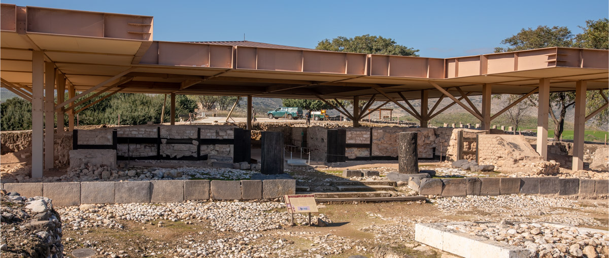
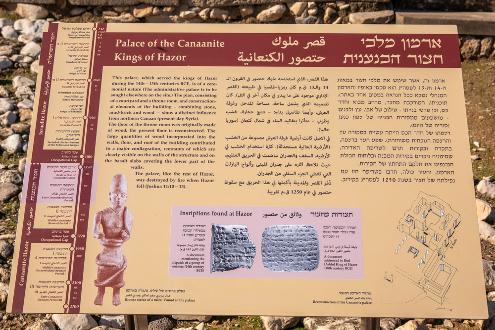
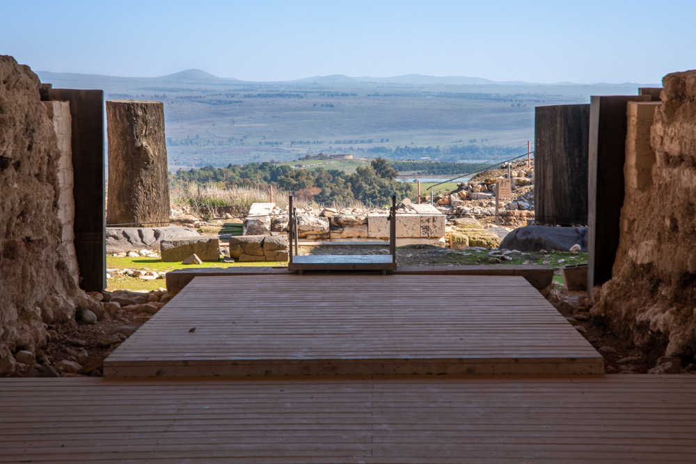
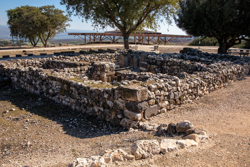
Site brochure: “The roof protects the Canaanite ceremonial palace that served the kings of Hazor during the fourteenth and thirteenth centuries BCE.” The photo looks west.
Site plaque: Enlarge to see artist’s conception of the Canaanite palace.
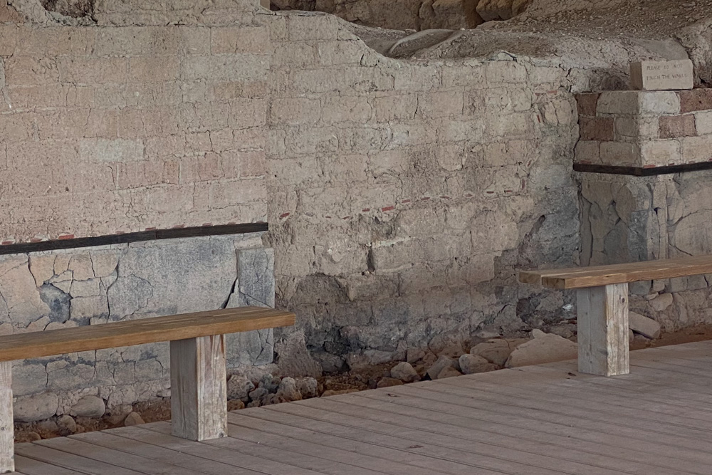
Site brochure: “The lower parts of the mud-brick walls of the palace were covered by dressed basalt stones.”
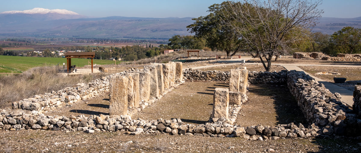
View east: Entrance to the palace with with two huge column bases and a bamah (“high place”).

View east: Detail of the bamah (“high place”) at Hazor, which was a place of worship in biblical times.
The video pans from northeast with snow-capped Mount Hermon in the background to southeast toward the volcanic cones on the Golan Heights. You get a nice view of the pillars and bamah before the entrance to the palace.
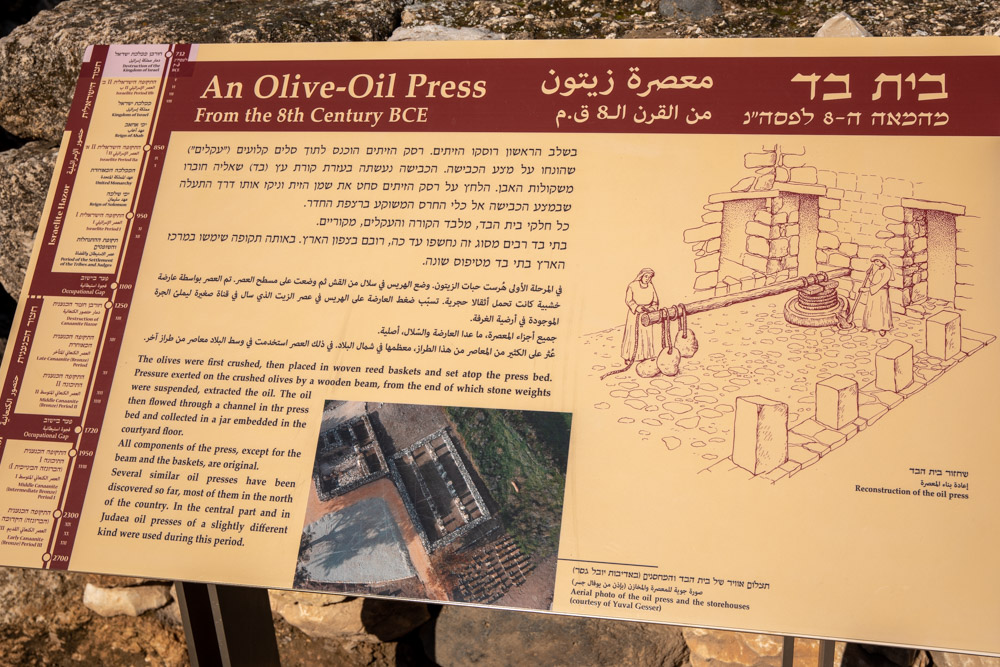
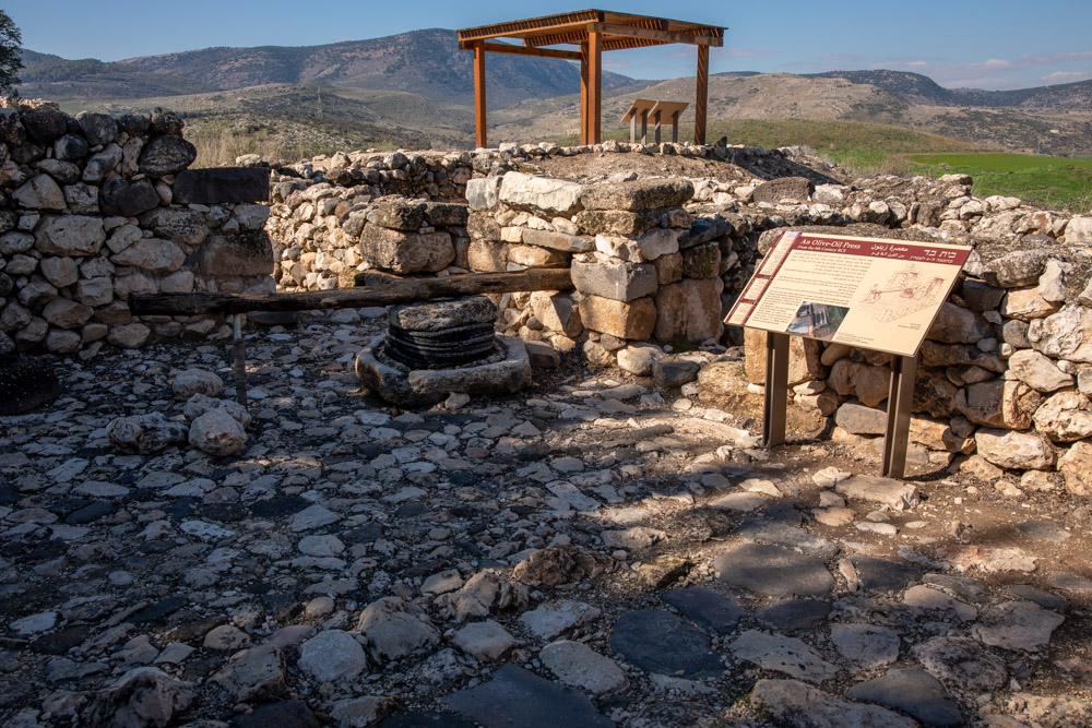
On side plaque: Enlarge to see artist’s conception of olive-oil press and room.
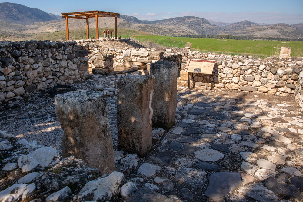
View west: The olive-oil press is behind three pillars that supported an upper floor.
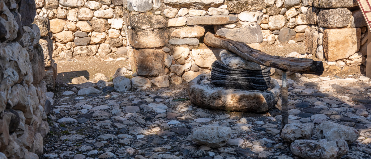
Detail of olive-oil press from photo above.
View southeast: A “four-room house” private dwelling. You can see the oil press in front of three columns (photo center in the shadows). See detail photo above.
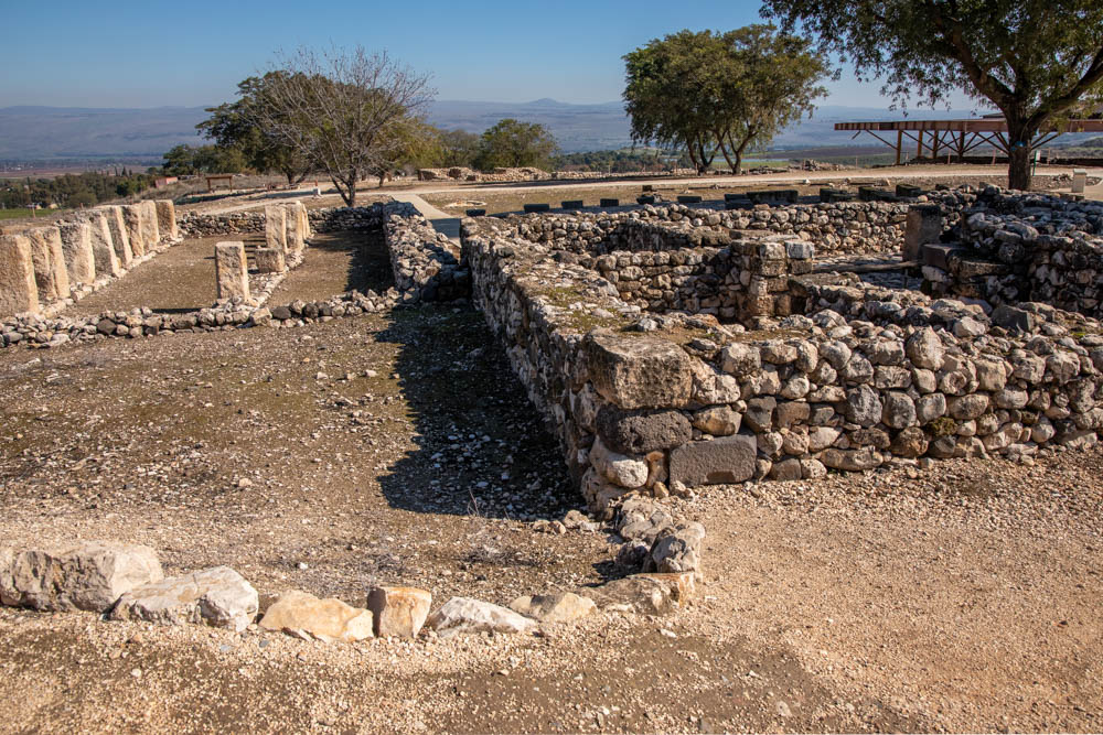
View east: The “pillared house” with two rows of stone columns that supported the roof of a public storehouse. The private dwelling is next to it on the right.
View northeast: Detail of the public store house with snow-capped Mount Hermon in the background (upper left).