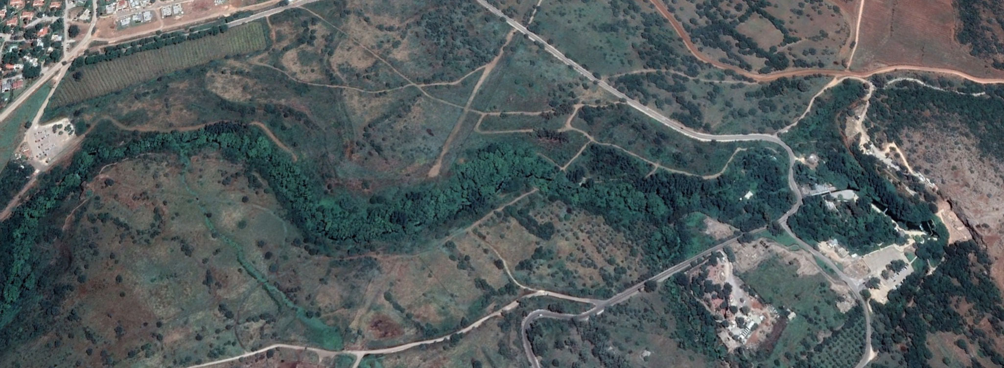
(Northern Hula Valley)
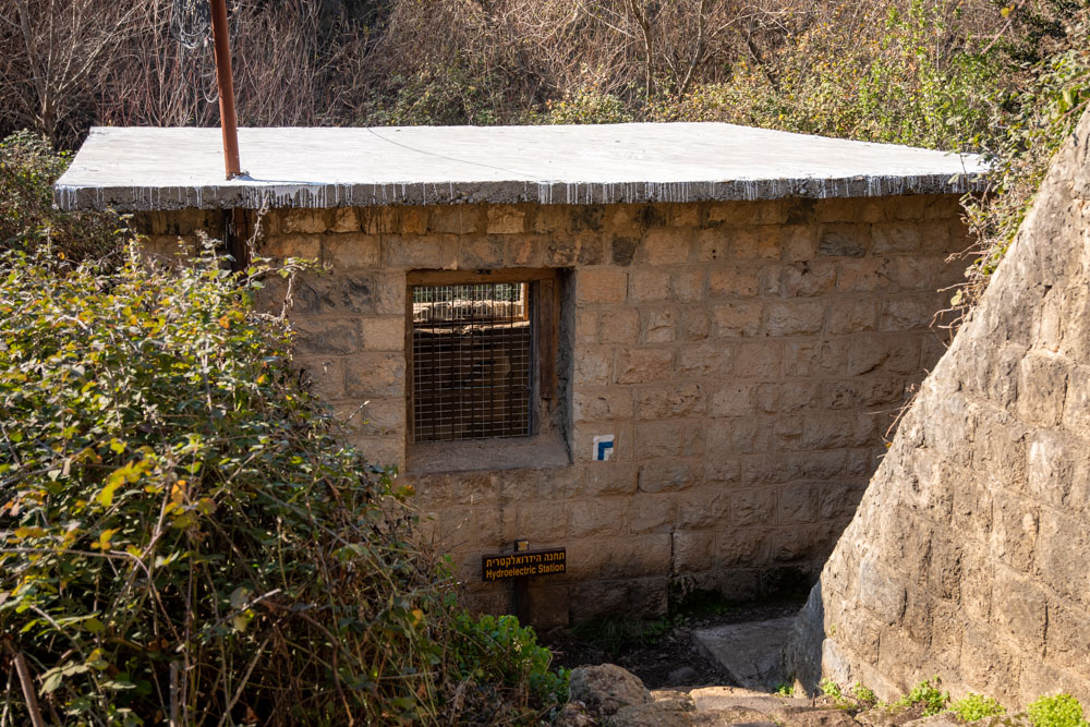
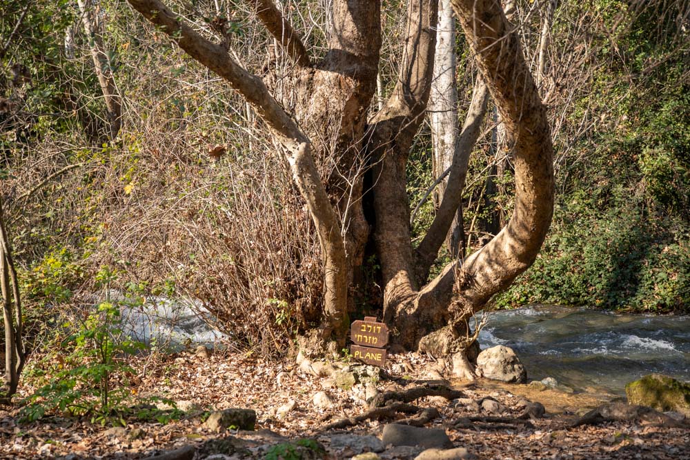
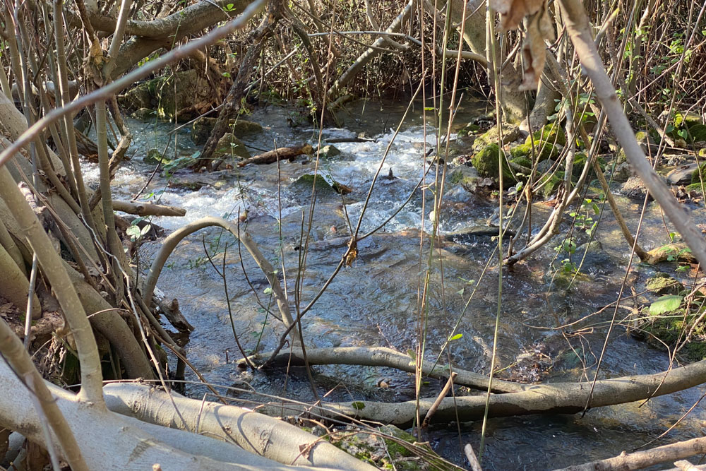
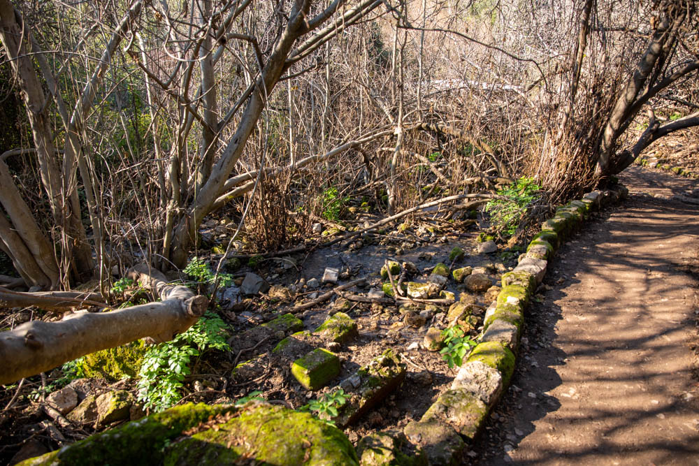
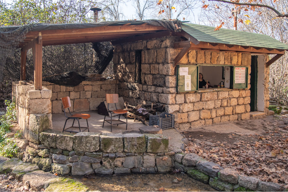
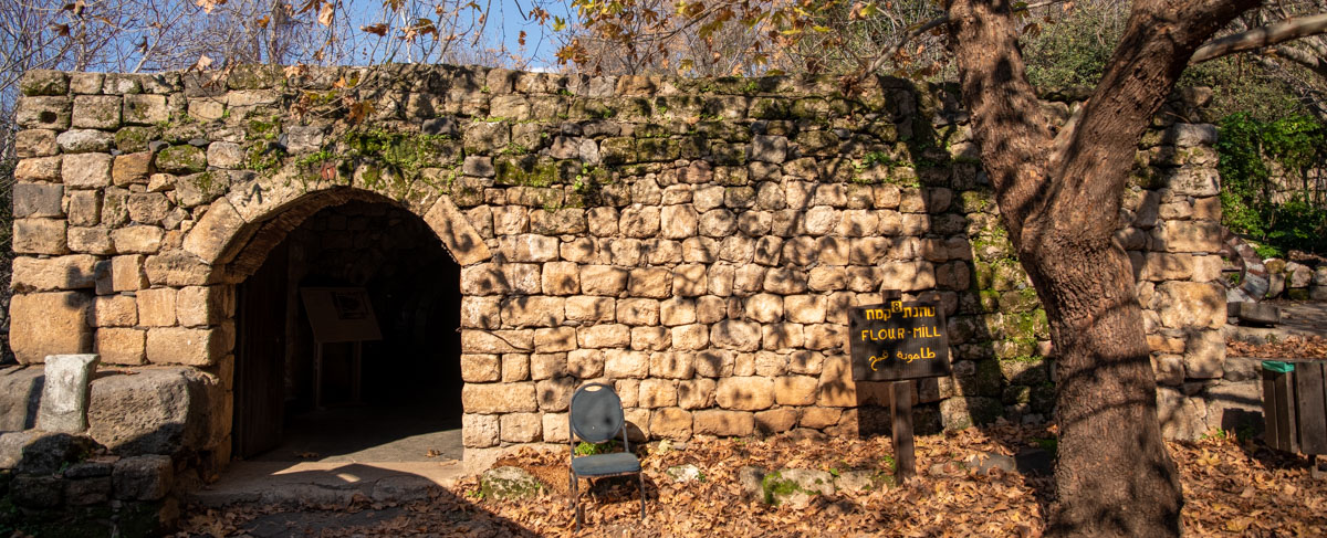
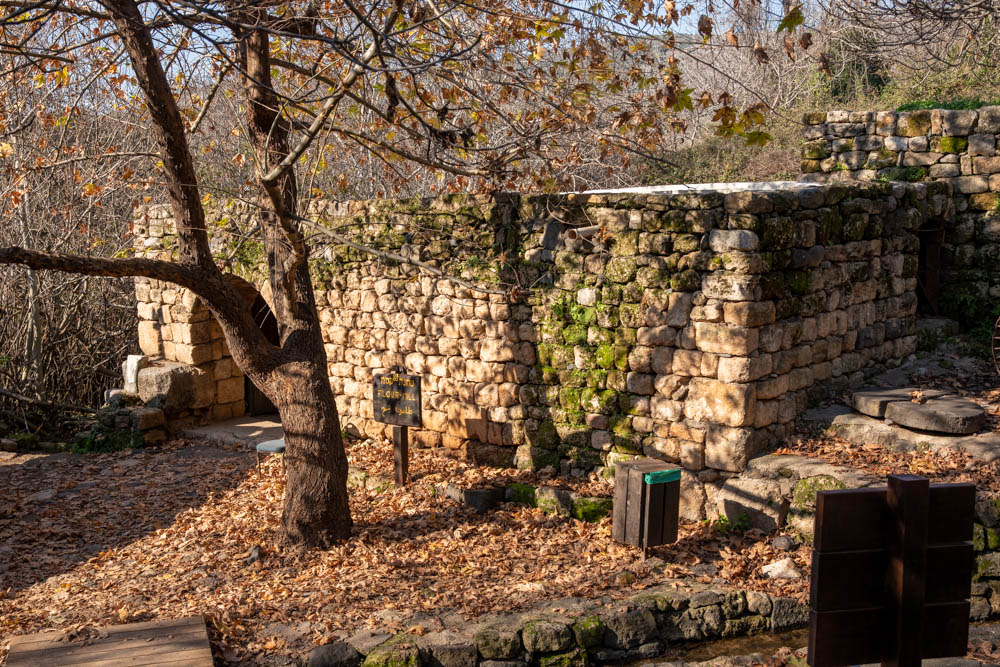
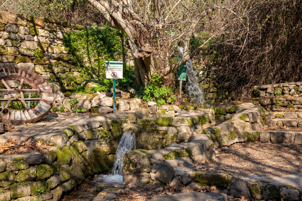
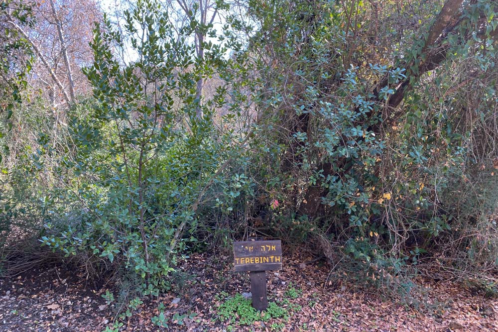
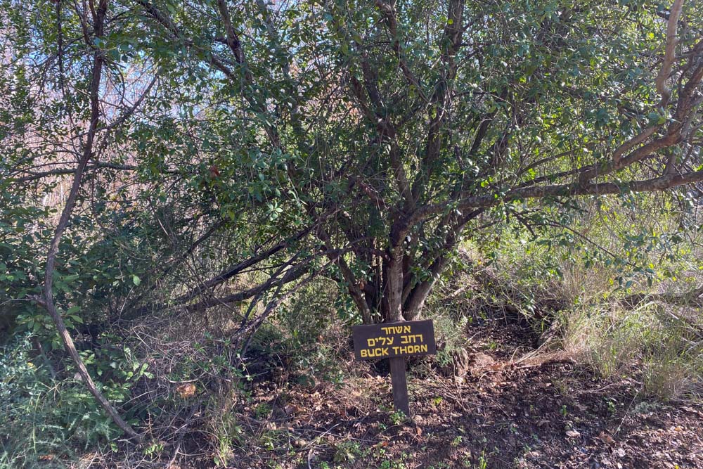
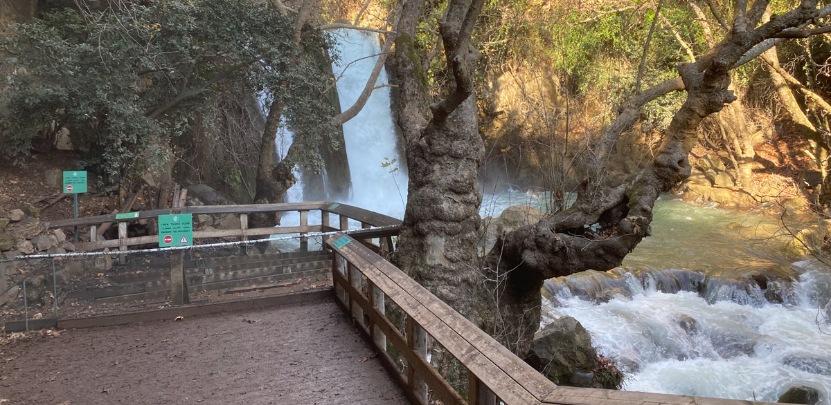
The photos on this page show the terrain along the trail between Banias (NT Caesarea Philippi–Matthew 16:13) and the Banias waterfall. It is a pleasant 45-minute hike with a snack bar midway along the route. The trail follows the outline of the river, which you can see on the satellite map below. You can drive directly to the falls if you don’t want to hike (see the parking lot on the map near the falls). A few photos have signs that identify the scene.
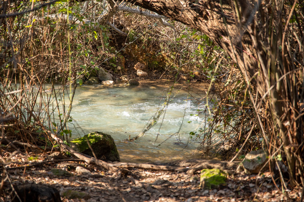
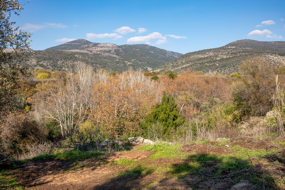
View East: The photo was taken from the area above the waterfall.
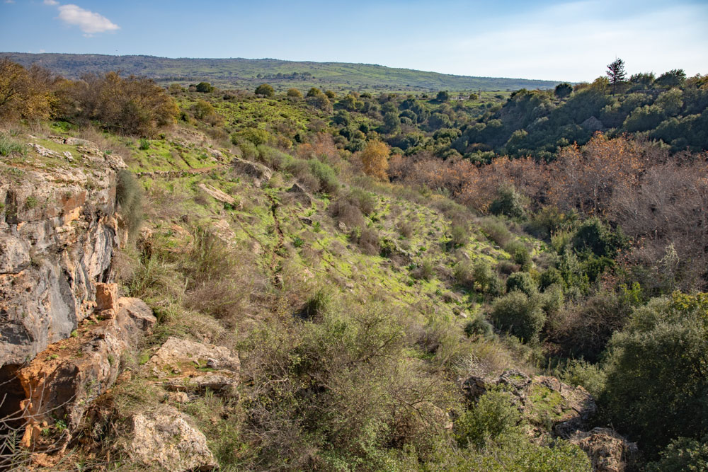
View South: The photo was taken from the area above the waterfall a little south of the previous photo.