(Sea of Galilee Region)
Wadi Hamam runs between Mount Arbel and Mount Nitai. It carried an important route through Lower Galilee. For example, the road from Cana of Galilee to Capernaum came this way and is probably the route Jesus took on His way to Capernaum after turning water into wine at the marriage feast in Cana of Galilee.
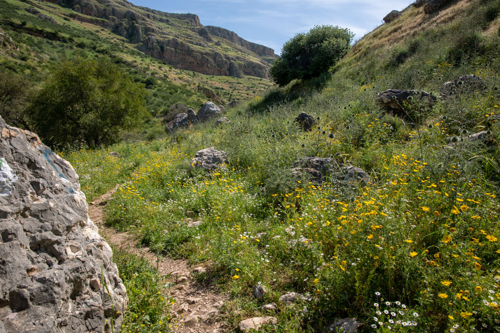
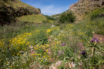
View west: Midway up Wadi Hamam below Mounts Arbel and Nitai.
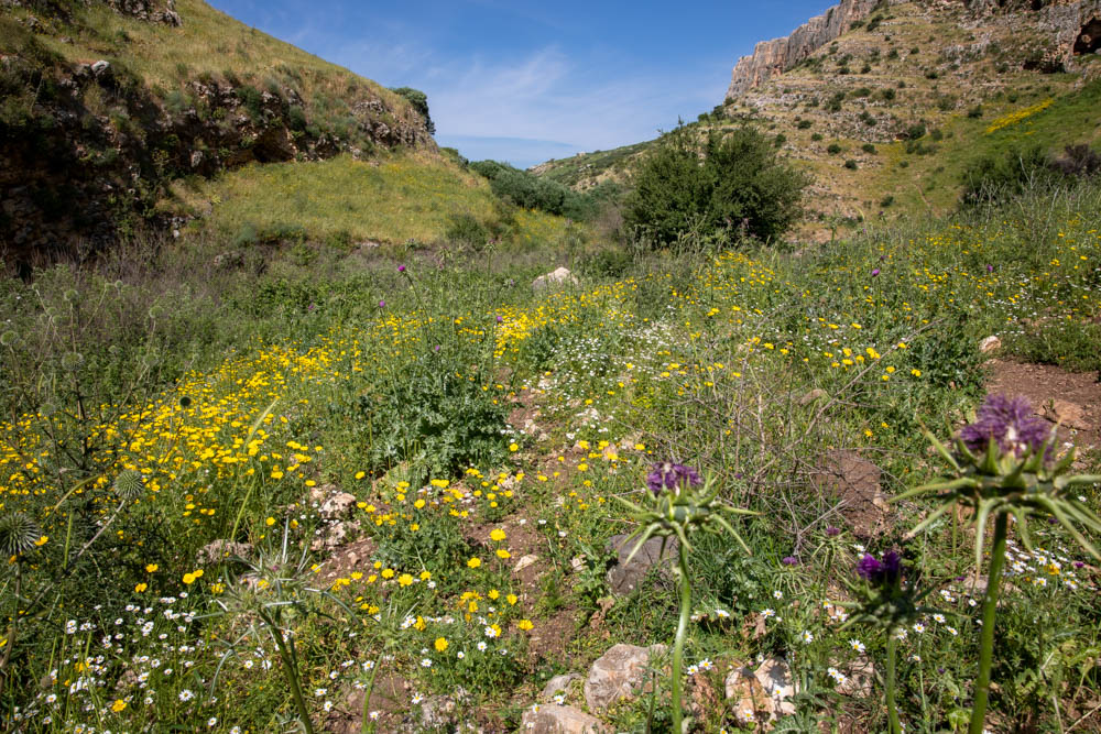
View east: Wadi Hamam at the entrance to the Valley of the Doves.

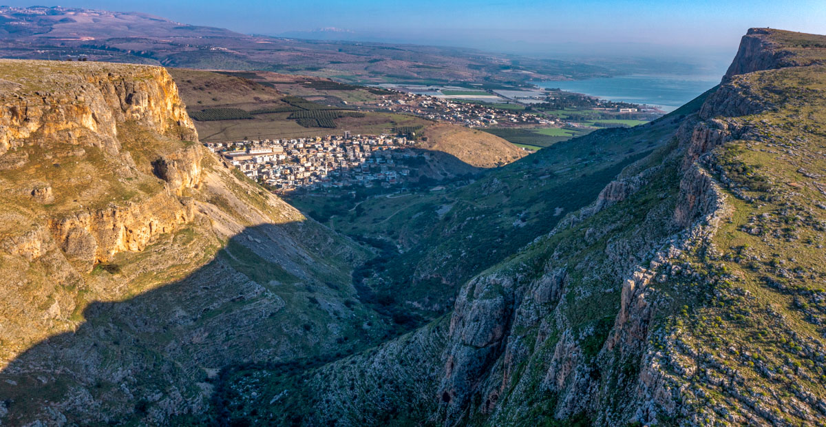
Aerial view northeast: You see Wadi Hamam (Valley of the Doves–center), Mount Nitai (left), Mount Arbel (right), Zefat (upper left), the Plain of Gennesaret (along the northern shore), and the Sea of Galilee (upper right). I took this photo and the next one from the top of Mount Nitai. I was looking down on the wadi from the cliffs along the eastern edge.

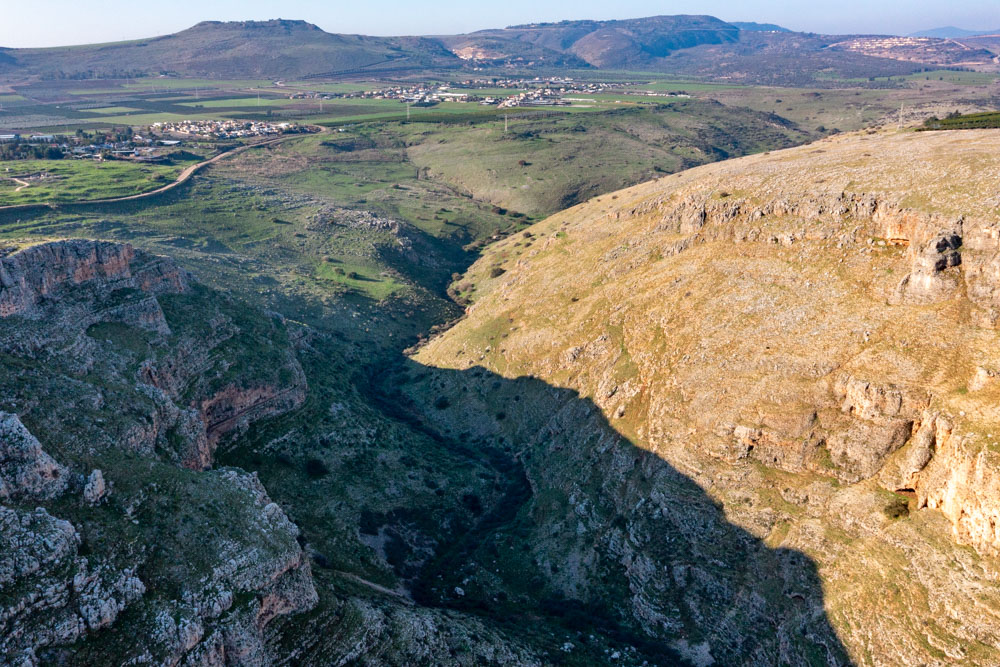
Aerial view west: This photo was taken from the same place but opposite direction as the one above. You can see the Horns of Hattin (top left), Wadi Hamam (center), and the entrance to the Beit Netofa Valley (upper right).
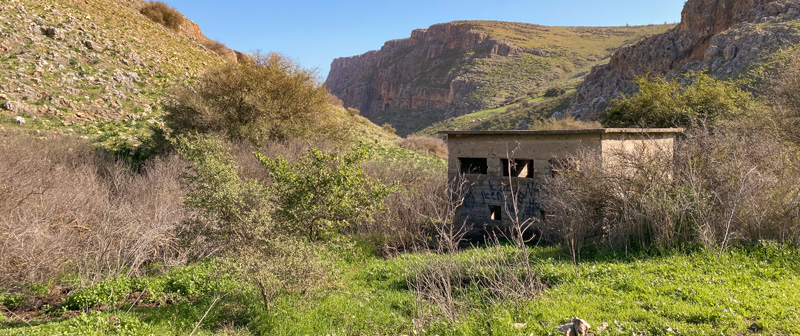
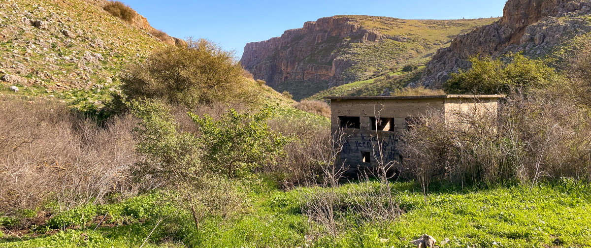
View east: Entrance to the Valley of the Doves (center). The building in the photo is visible in the photo above (middle–white spec at the bottom of the slope outside the shadow) and in the video below.
View west: Video of Wadi Hamam (western entrance to canyon). Note path on wadi floor as video progresses.
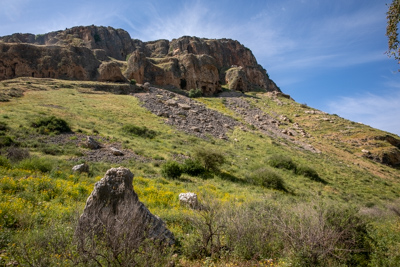
View north: Mount Nitai overlooking Wadi Hamam.

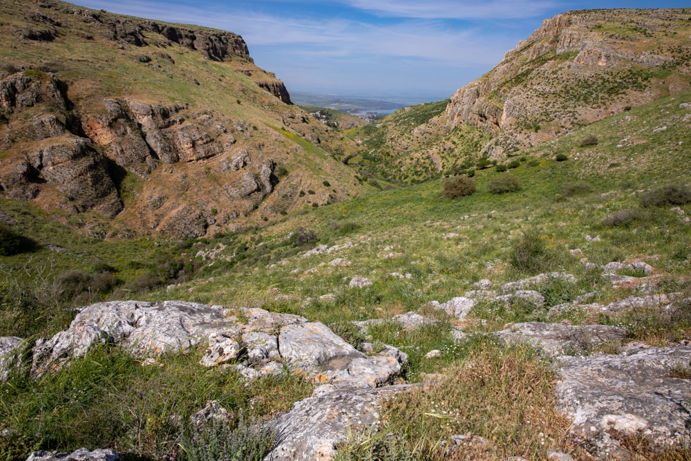
View east: Wadi Hamam exit to the Sea of Galilee.