Satellite Maps
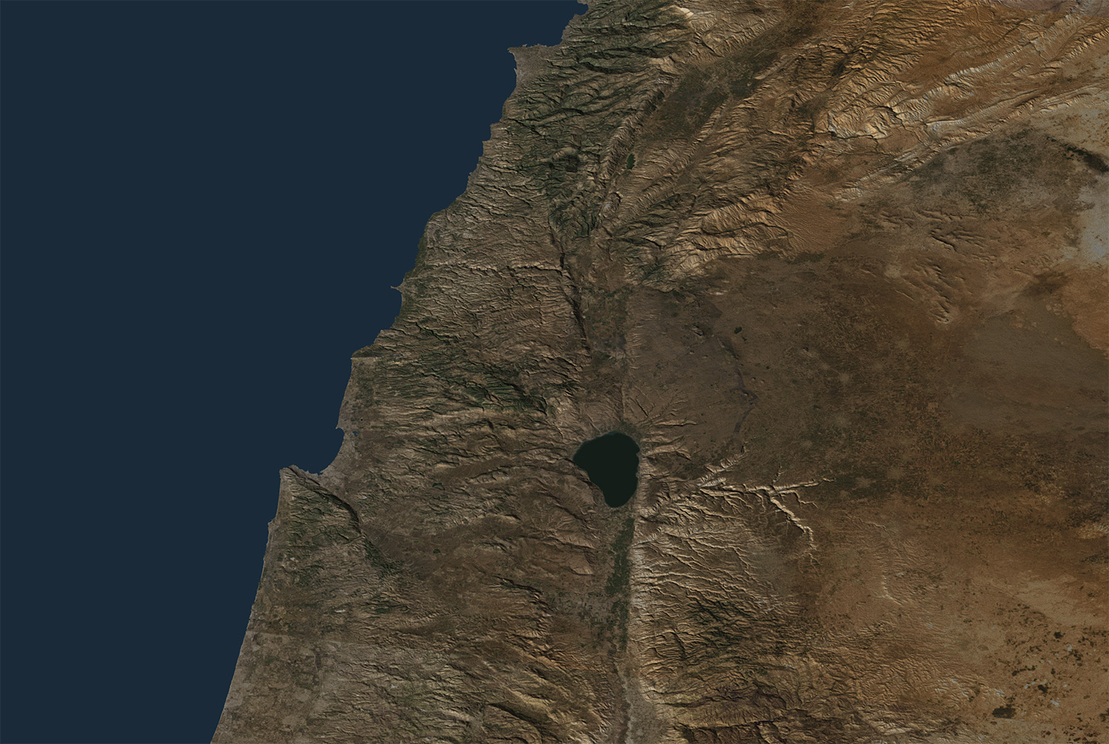
One of the unique features of BibleLandImages.com is its interactive map system. Every gallery page includes a map showing the site’s location within the broader landscape of the Holy Land. Unlike traditional maps that rely heavily on labels and markers, these maps allow visitors to remove the overlays and study the land itself.
This approach is based on a simple principle: the more information placed on a map, the harder it becomes to see the geography. Mountains, valleys, plains, rivers, coastlines, and travel corridors are often hidden beneath names and symbols. By viewing the underlying satellite imagery, visitors can better understand how the land is arranged and why geography played such an important role in biblical history.
The goal is not simply to locate biblical sites but to understand the land itself. As visitors explore galleries throughout the Holy Land, they will begin to recognize important regions and understand how individual sites relate to one another. Over time, the geography of the Bible becomes familiar rather than abstract, providing a richer context for both scripture study and travel.
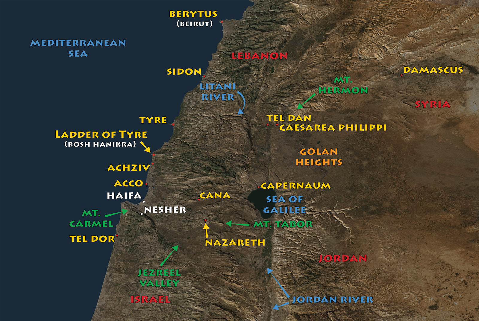
Northern Israel — How close are Israel’s neighboring nations?
The geography of Israel’s northern frontier.
Notice how closely Israel borders Lebanon, Syria, and Jordan. The short distances between these nations help explain why armies, merchants, and prophets moved so frequently across this region throughout biblical history.
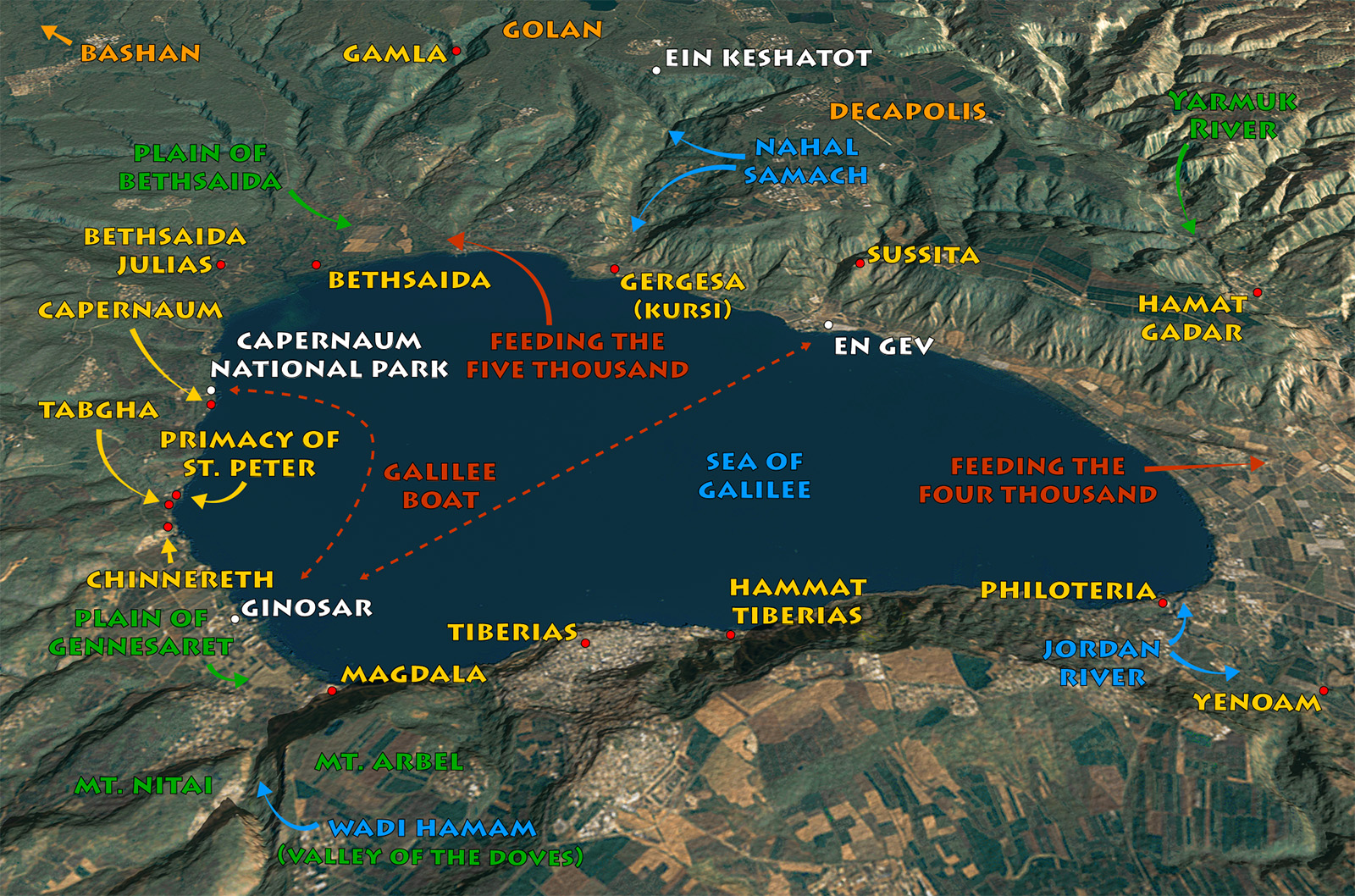
Sea of Galilee — How concentrated was Jesus’s Galilean ministry?
Nearly every major event from Jesus Christ's Galilean ministry occurred within a short distance of the Sea of Galilee. Seeing these locations together helps visitors appreciate just how compact His ministry was and how easily He traveled between the surrounding towns and villages.
Using the Regional Maps
These regional maps provide the geographic framework for every gallery on BibleLandImages.com. Individual site maps build upon this foundation, helping visitors see each location not as an isolated point on a map, but as part of the larger biblical landscape.