Latest update: July 27, 2026
Welcome to Bible Land Images
Explore the land, discover the story, strengthen your witness of Jesus Christ
Bible Land Images helps you prepare for the Holy Land, deepen your understanding of Scripture, and continue learning—and remembering—long after you’ve returned home.
Watch the 3-Minute Introduction
A quick 3-minute overview showing you how to get the most from the site.
Choose Your Journey
Prepare for your trip—or revisit the places where Jesus walked—through interactive slide presentations.
Follow the Savior’s final week day by day through the book, illustrations, videos, and related scripture resources.
Explore hundreds of historical photographs organized by site, region, and biblical topic.

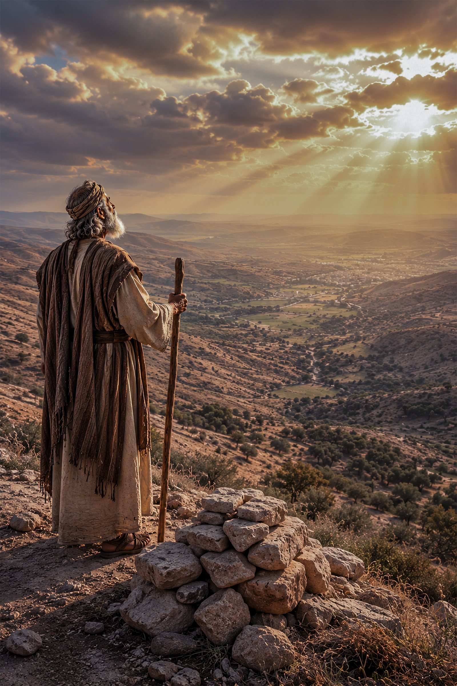
Abrahamic Covenant
Throughout history, God could have chosen any land as the setting for His covenant people and the unfolding of His redemptive work. Yet He chose this small strip of land at the eastern edge of the Mediterranean Sea. To Abraham, He declared, “Lift up now thine eyes, and look from the place where thou art… for all the land which thou seest, to thee will I give it, and to thy seed for ever” (Genesis 13:14–15).
A Land of Promise
The Holy Land occupies a unique place in scripture. It was the homeland of the patriarchs, the inheritance of Israel, the stage upon which prophets taught and kings ruled, and the setting of the Savior’s mortal ministry, atoning sacrifice, and Resurrection. More than a geographical location, it became a symbol of covenant, promise, gathering, and redemption.
A Covenant Fulfilled in Christ
Understanding why God chose this land helps us better understand the people who lived there, the events recorded in scripture, and the divine purposes that continue to unfold in the land today.
When God promised Abraham that all nations of the earth would be blessed through his seed, He was looking far beyond Abraham's own lifetime. The covenant pointed ultimately to Jesus Christ—the promised descendant through whom salvation would come to the world. The land promised to Abraham became the setting for that divine mission. There, among the hills of Judea and the streets of Jerusalem, the Savior completed His atoning sacrifice and triumphed over death. In many ways, the events of Passion Week represent the culmination of promises first given centuries earlier to Abraham.
About This Project

For many years I have studied the scriptures and photographed the lands of the Bible. Bible Land Images brings together photography, historical background, maps, articles, and books designed to help readers better understand the world of the Bible and strengthen their faith in Jesus Christ.
Through these resources, visitors can explore the covenant land promised to Abraham, the ministry of Jesus Christ and God’s work of gathering Israel in preparation for the Savior’s return.