Photos and Maps • Photo Usage Policy • Back to Overview
Open chapter PDF to read or share (new tab)
Open chapter PDF (new tab, book format)
View southwest: This photo was taken on the hike to Bethsaida (et-Tell) from the Sea of Galilee. It is only a quarter mile (500 meters) from the Plain of Bethsaida (see the bottom photo on page 260).
You may download photos free of charge for non-commercial, educational purposes: home, church, synagogue, or school. You must, however, give proper attribution on or below each image to BibleLandImages.com.
If you’re using photos as part of a PowerPoint or other electronic presentation, it’s enough to mention the source of the photos at the beginning of your lecture.
The photos may not be used on other internet sites without permission.
You may download favorite chapters and sections or copy their URL links to share via email or in a messenger app. You may also post links on social media or a personal website.
By downloading a photo, chapter, or section you agree to this policy. If you have questions about it or need a commercial photo license, please contact me via email: Daniel@BibleLandImages.com.
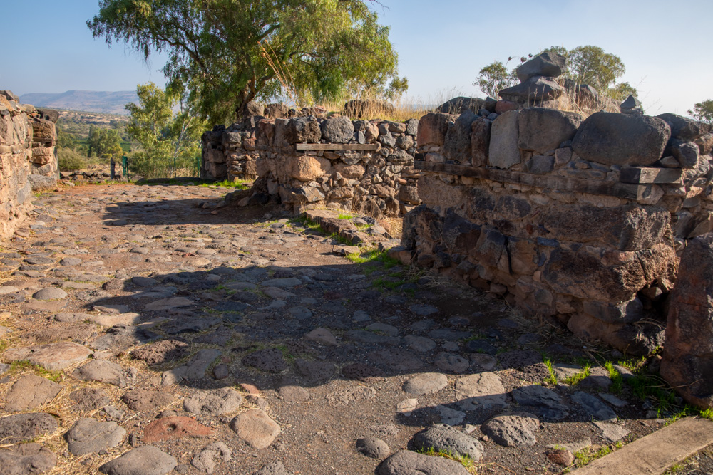
View northeast: Looking out Bethsaida’s inner-city gate with four chambers, two on each side. Three of the chambers served as granaries. The Assyrian King Tiglath-Pileser III destroyed the city in 732 BC.
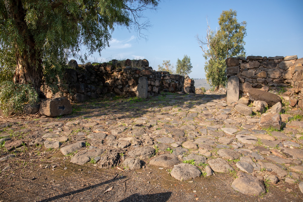
View west: Looking in the inner city gate (above) across the courtyard, which was the heart of the ancient town.
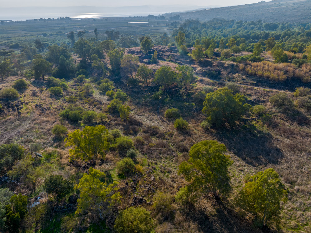
View southwest: The gate of Bethsaida (et-Tell; top center below the sun streak). The photo shows the city in relation to the plain and the Sea of Galilee (top). The Jordan Park is in the trees (top right).
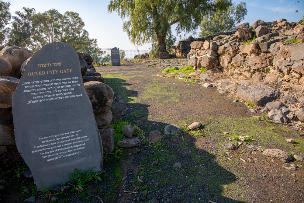
View south: The outer city gate, looking toward the courtyard and inner-city gate, which dates to the biblical period (tenth–eighth centuries BC).
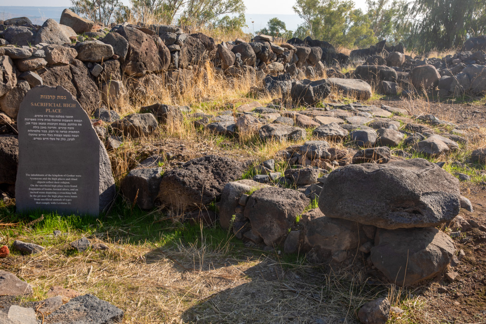
View east: The Sacrificial High Place. “In the pit near the high place were bones from sacrificial animals of types that comply with Leviticus 11” (quote is from the sign).
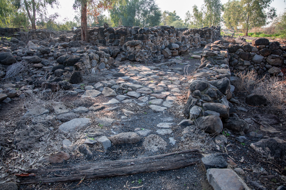
View south: This was a street in Bethsaida, reminding us that “whithersoever [Jesus] entered, into villages, or cities, or country, they laid the sick in the streets” to be made whole (Mark 6:56).
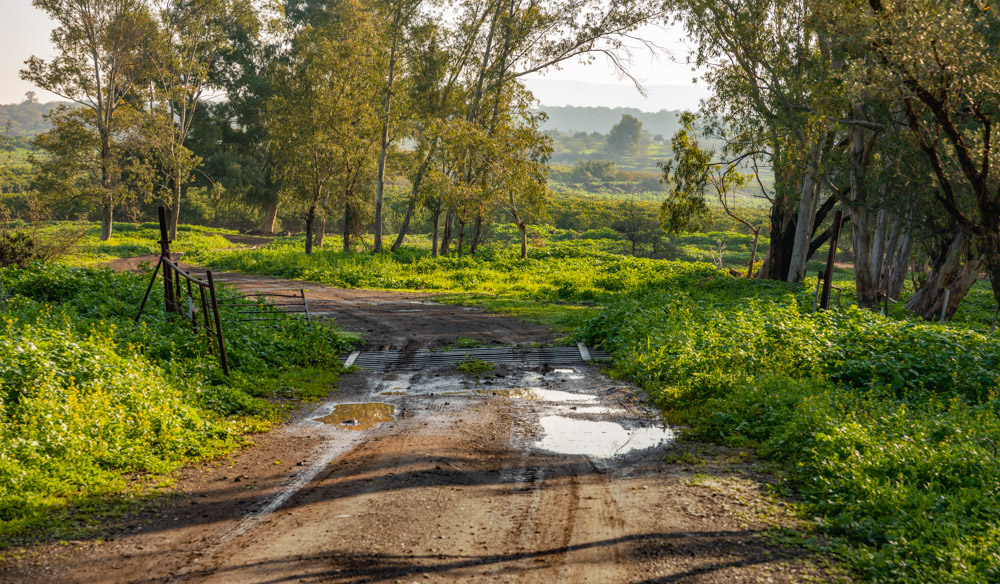
View east: The Plain of Bethsaida. This photo was taken between el-Araj and et-Tell, walking north to et-Tell (Bethsaida) from the Sea of Galilee.
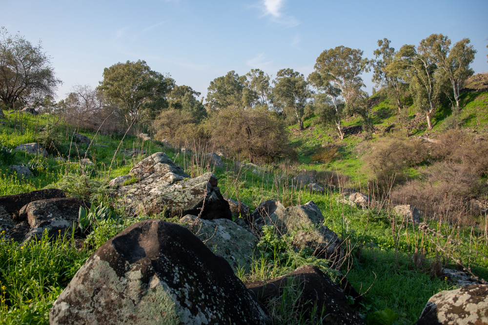
View southwest: This photo was taken on the hike to Bethsaida (et-Tell) from the Sea of Galilee. It is only a quarter mile (500 meters) from the Plain of Bethsaida (see the bottom photo on page 260).
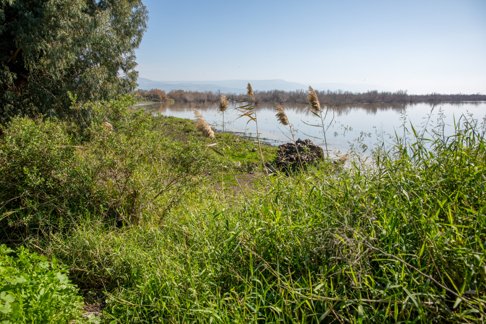
View southeast: the northeastern shore of the Sea of Galilee at el-Araj, one of the candidates for biblical Bethsaida (see the bottom photo on page 262).
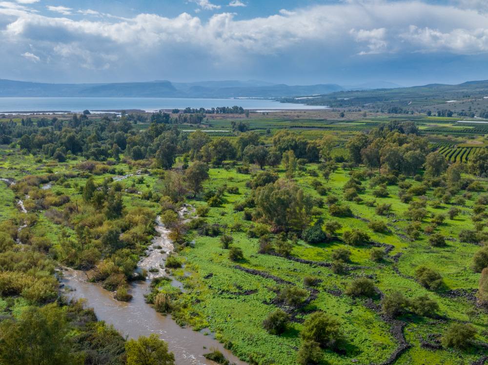
View West: The Plain of Bethsaida with the fishing village of el-Araj on the northeast shore of the Sea of Galilee (top center in the trees by the shore). Above the trees Across the lake are Tiberias and Mt. Arbel.
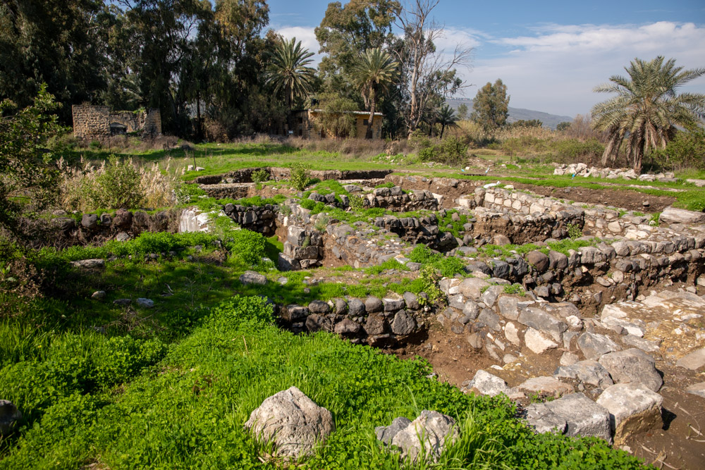
View northwest: The excavations of the other Bethsaida (el-Araj) on the northeast shore of the Sea of Galilee.
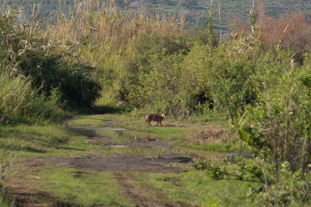
View West: This photo was taken on the plain of Bethsaida a short distance west of el-Araj (Bethsaida) on a hike to Capernaum. I got lucky and caught this picture of a red fox crossing the path.
You may download photos free of charge for non-commercial, educational purposes: home, church, synagogue, or school. You must, however, give proper attribution on or below each image to BibleLandImages.com.
If you’re using photos as part of a PowerPoint or other electronic presentation, it’s enough to mention the source of the photos at the beginning of your lecture.
The photos may not be used on other internet sites without permission.
You may download favorite chapters and sections or copy their URL links to share via email or in a messenger app. You may also post links on social media or a personal website.
By downloading a photo, chapter, or section you agree to this policy. If you have questions about it or need a commercial photo license, please contact me via email: Daniel@BibleLandImages.com.