(Rosh HaNikra » Ladder of Tyre)
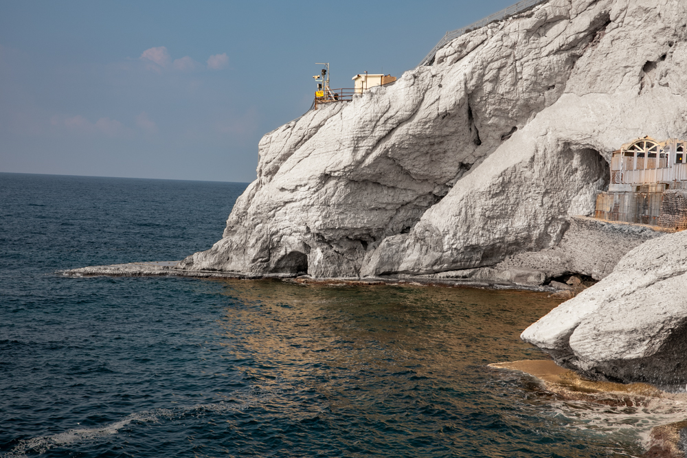
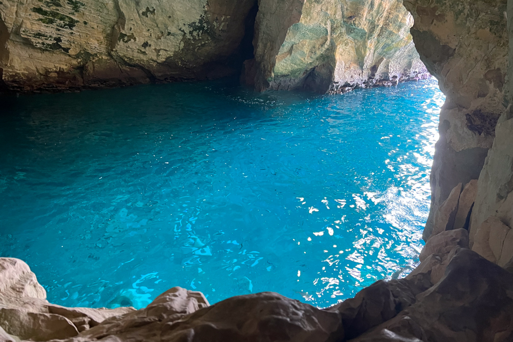
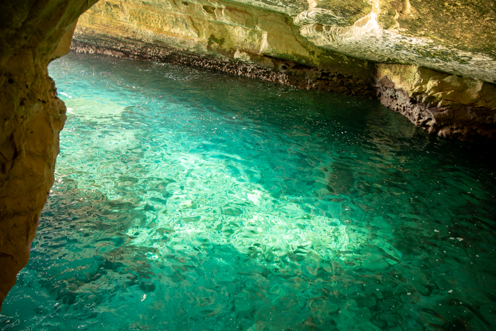
Rosh HaNikra is a white chalk cliff face that forms the border between Israel and Lebanon. It contains beautiful grottoes formed by sea action on the soft chalk. Interconnecting tunnels extend for approximately 650 feet (200 meters) under the mountain, where they open up into the Mediterranean Sea (see photos below). The British constructed a tunnel through Rosh HaNikra during World War II (1941–42) for a railway bridge connecting Haifa and Beirut. The Palmach (Jewish paramilitary organization) destroyed the bridge in 1948 to hinder Lebanese arms shipments to Arab forces opposed to the UN Partition Plan. The tunnels were later completely sealed.
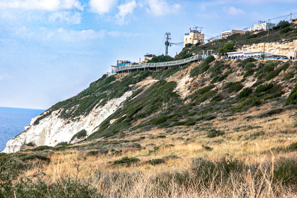
Rosh HaNikra is the “Ladder of Tyre” mentioned in Jewish Talmudic sources and by the first-century AD Jewish historian, Josephus. The mountainous range that runs parallel to the Mediterranean Coast between Rosh HaNikra and Tyre is distinguished by three promontory points that extend to the sea; hence its name, the Ladder of Tyre. The southernmost of these points, about 11.5 miles (19 kilometers) north of Acco, is Rosh HaNikra.
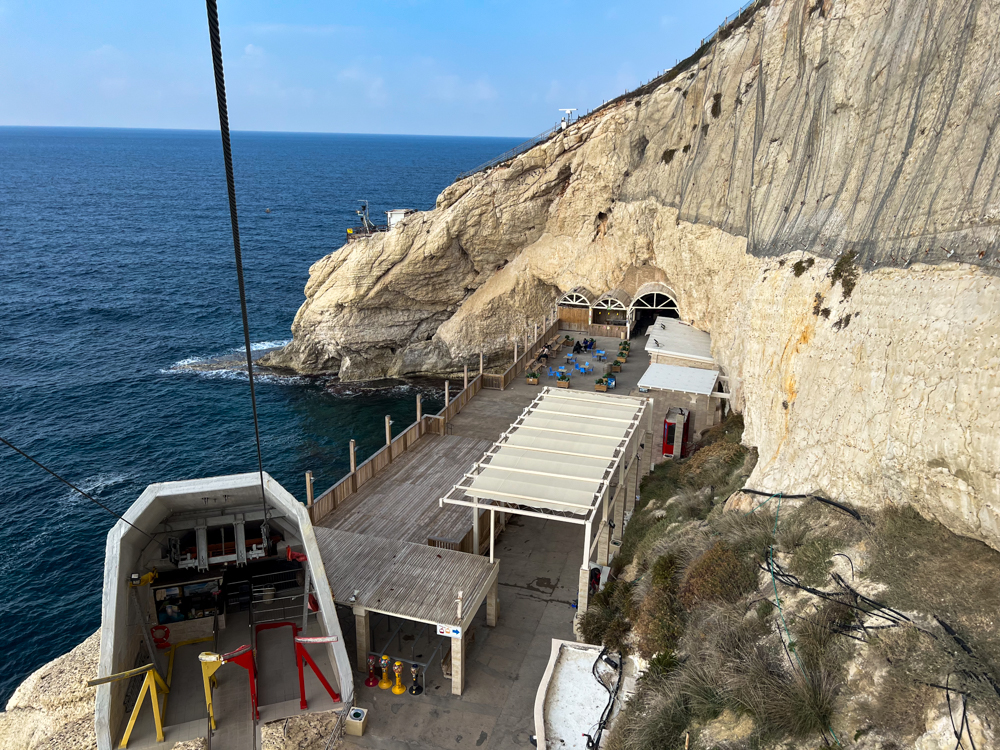
I captured this photo descending in the cable car from the upper platform to the tunnels and grottoes below. The tunnel that carried the train from Haifa to Beirut is now sealed. Inside the main tunnel you see a movie today that tells the story of the site.
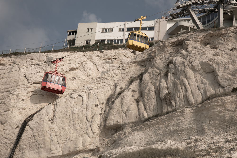


With a 60-degree gradient, the cable car that takes visitors from the top of the cliff to the tunnels is said to be the steepest in the world.
The sea has created this natural stone sculpture shaped liked an elephant’s leg (center left).
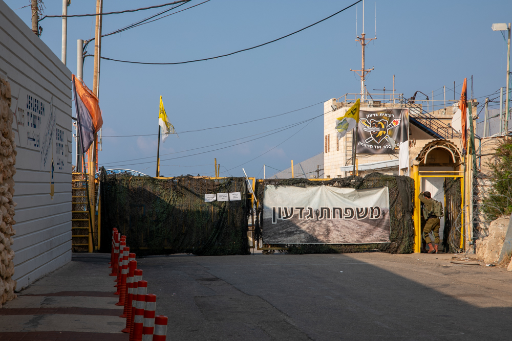
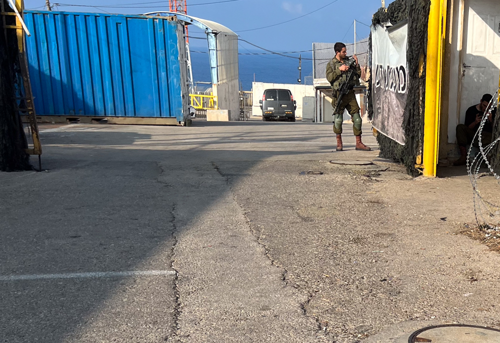
This photo and the two that follow are connected, and show the border crossing between Lebanon and Israel. Distances are in kilometers. The distance to Jerusalem from Rosh HaNikra is 127 miles (205 kilometers). The distance to Beirut (see the satellite map) is 75 miles (120 kilometers).
 I post updates to this website on my personal
